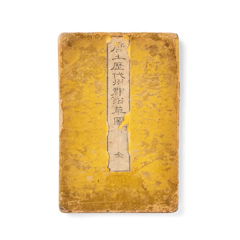
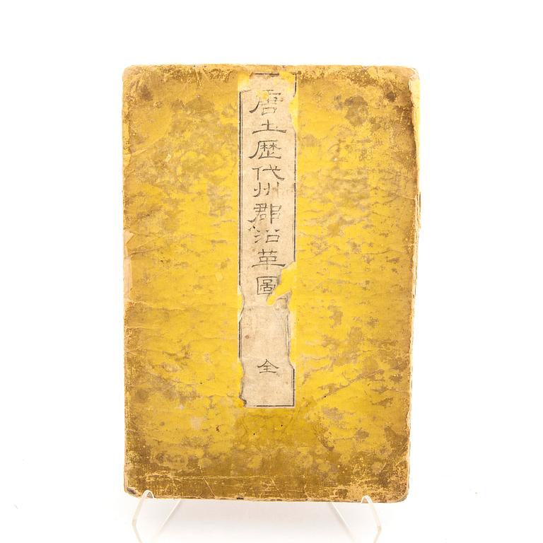
Historisk karta över Kina, träsnitt efter Nagakubo Sekisui (1717-1801).
En volym i gult pappers band som innehåller 13 uppslag med kartor i färgträsnitt. Rött sigill på titel. Mått album 24x36 cm. Mått utvikt 36x47.5 cm.
Den här Japanska historiska atlasen innehåller 13 kartor över Kina som går tillbaka genom historien. 12 vilka avbildar olika kinesiska dynastier så som Ming-, Tang-, Yuan-, Qing-, de krigande staterna, Han dynastin m.fl. Det finns också en karta över Nordöstra Asien.
Masktungen, slitage, veck och materialbortfall på bandet.
Litteratur
First published in 1789, two editions of this atlas were published in 1835, with the final edition in 1857. Ref: Kazutaka Unno, Mapping Japan, 1998, ch. 11, accessed via University of Chicago Press website; nagakubosekisui.org.
Övrig information
The Confucian scholar Sekisu Nagakubo (1717-1801) was greatly inspired by the world map published in China in 1602 by the Jesuit missionary Matteo Ricci (1552-1610) for the Emperor of China Ming Shenzong.
From about 1614 onwards, Japan increasingly established a policy of seclusion from the rest of the world - carefully controlling trading contacts - which lasted to the mid-nineteenth century; knowledge of the outside world ossified, so Japanese cartographers had to rely on early seventeenth century maps to portray their world-view.


