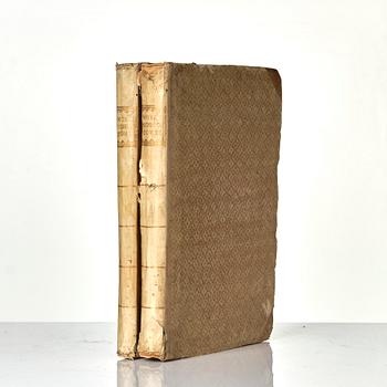
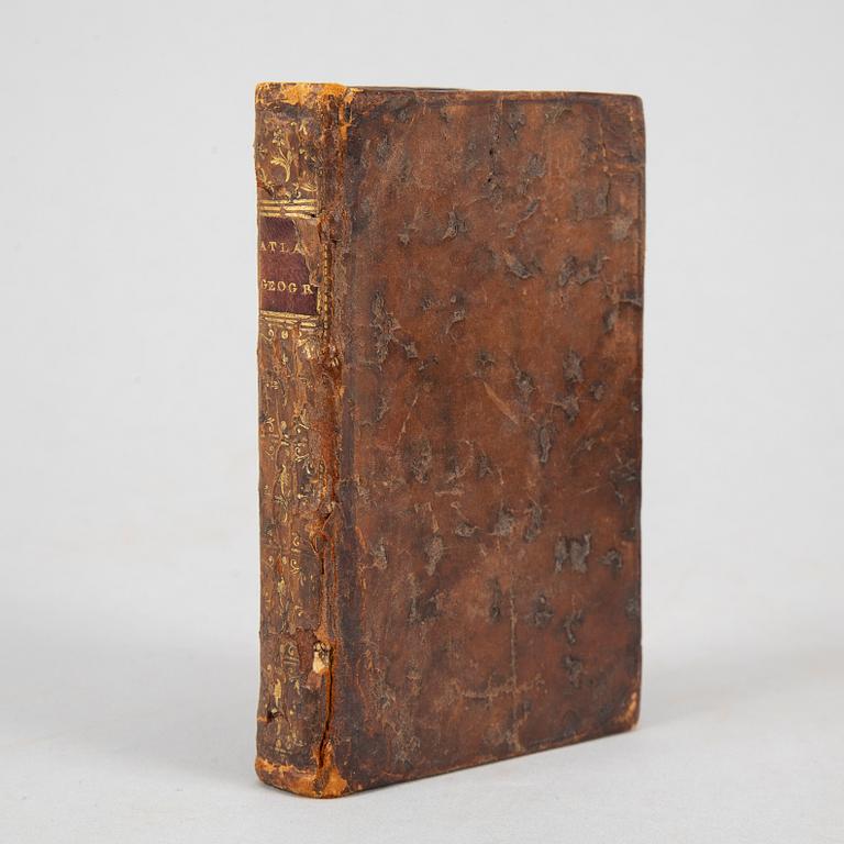
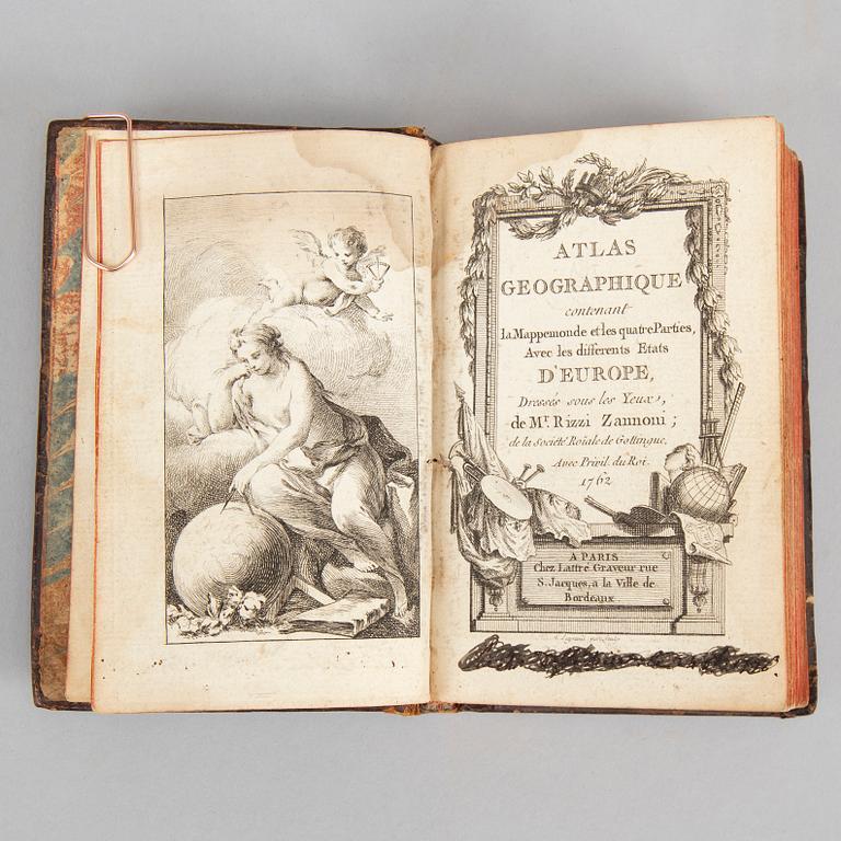
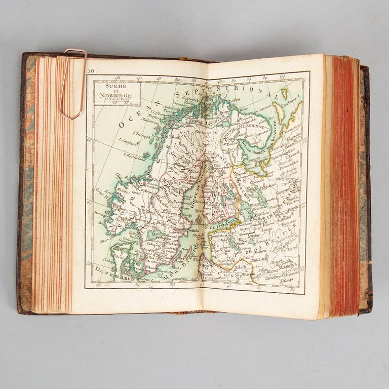
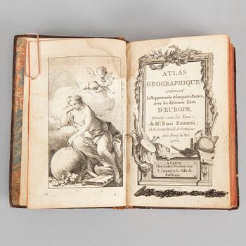
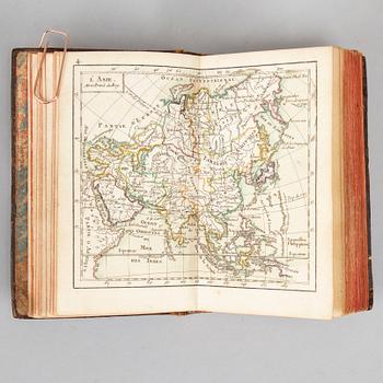
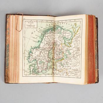
Rizzi Zannoni:
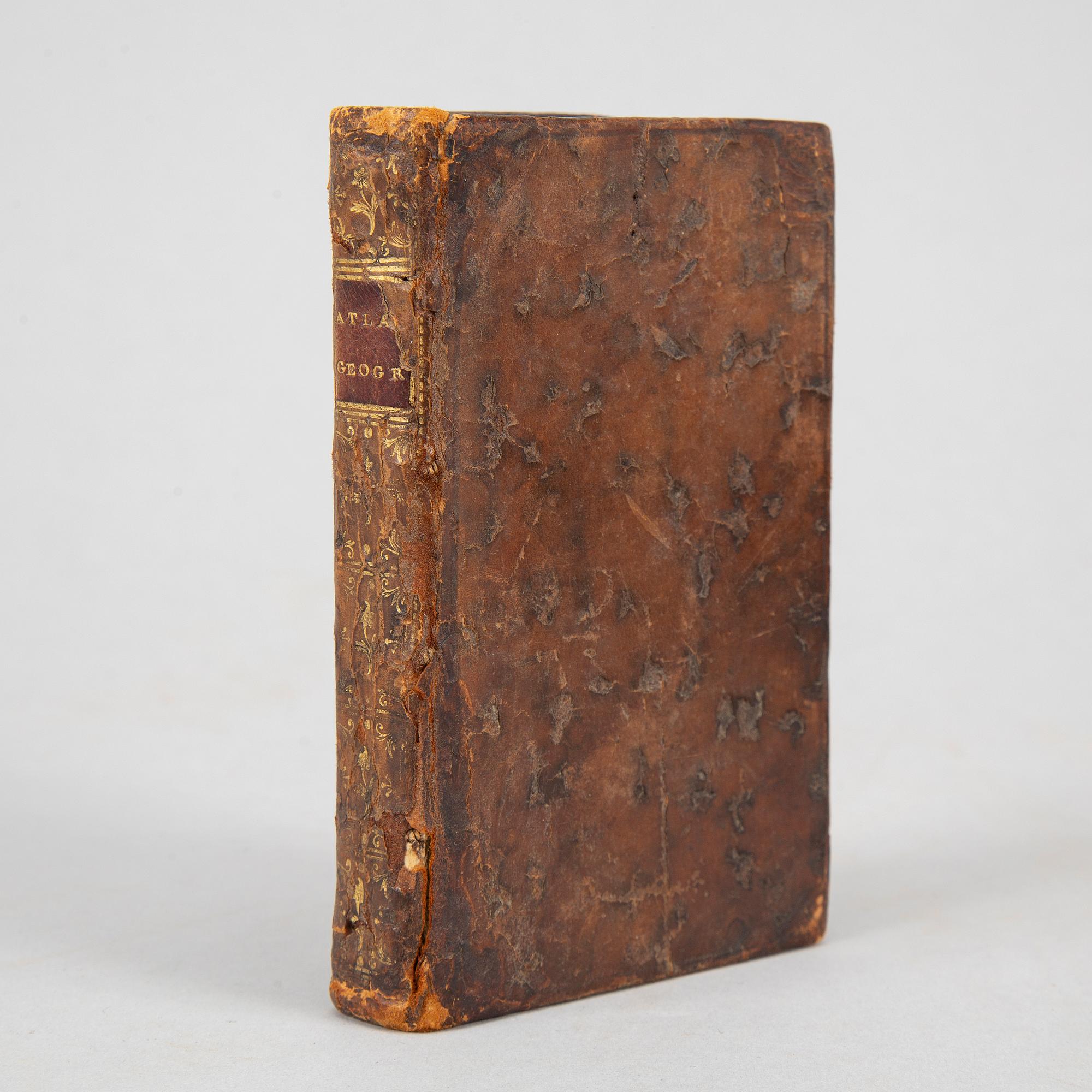
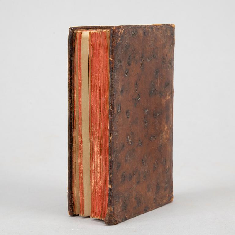
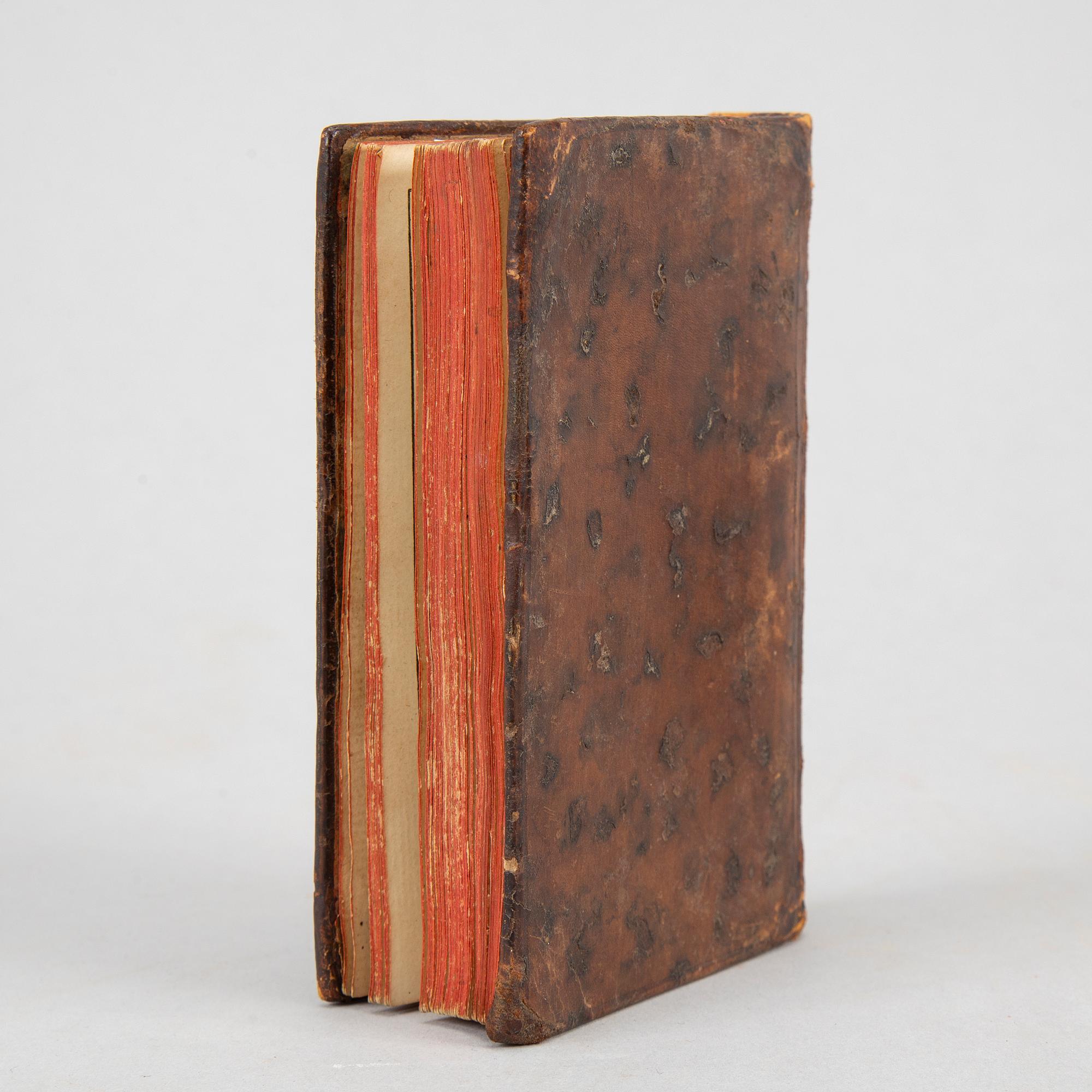
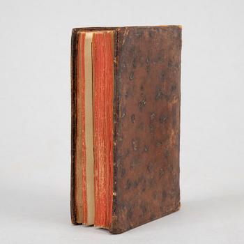
Atlas géographique contenant la Mappemonde et les quatre Parties, avec les différens États d'Europe. Paris, chez Lattré, 1762. (12,2 x 7,7 cms.) Engraved throughout: Frontispiece + title + 4 leaves (with text on 4 pages) + 30 double-page maps / plates, coloured in outline only (1-10, 10 bis, 11-24, 24 bis, 25-27 and ”Sphére de Ptolomée”).
[Bound with:]
Rigobert Bonne: Idée de la Sphere, ou principes sur la géographie astronomique. Paris, avec approbation & privilege du Roi, 1763. (12,7 x 7,7 cms.). [4] + 58 pp. incl. errata.
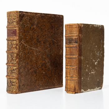
Contemporary mottled calf, spine gilt, worn. Waterstain to inner upper corner of preliminaries only, very faint staining or finger-soiling noticeable on blank versos of some maps. Front fly-leaf with old ownership inscription and a deleted annotation, one leaf in the second work with a very small dark stain.
Zannoni is considered to have been a scrupulous and exacting cartographer, earning praise from R.V. Tooley for his ”marvellously minute attention to detail” (Maps and Mapmakers, 21).
.
Tietoa ostamisesta


Muiden katsomia kohteita