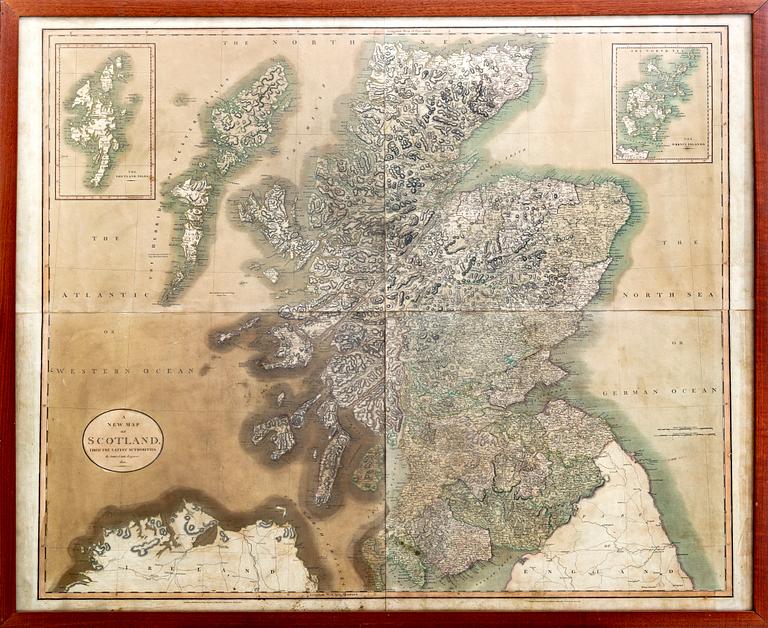
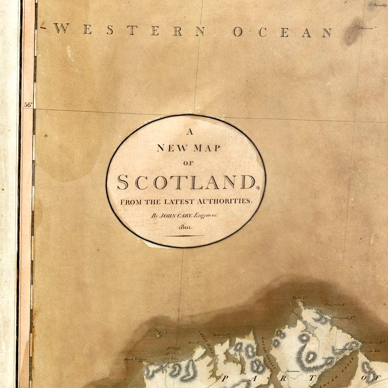
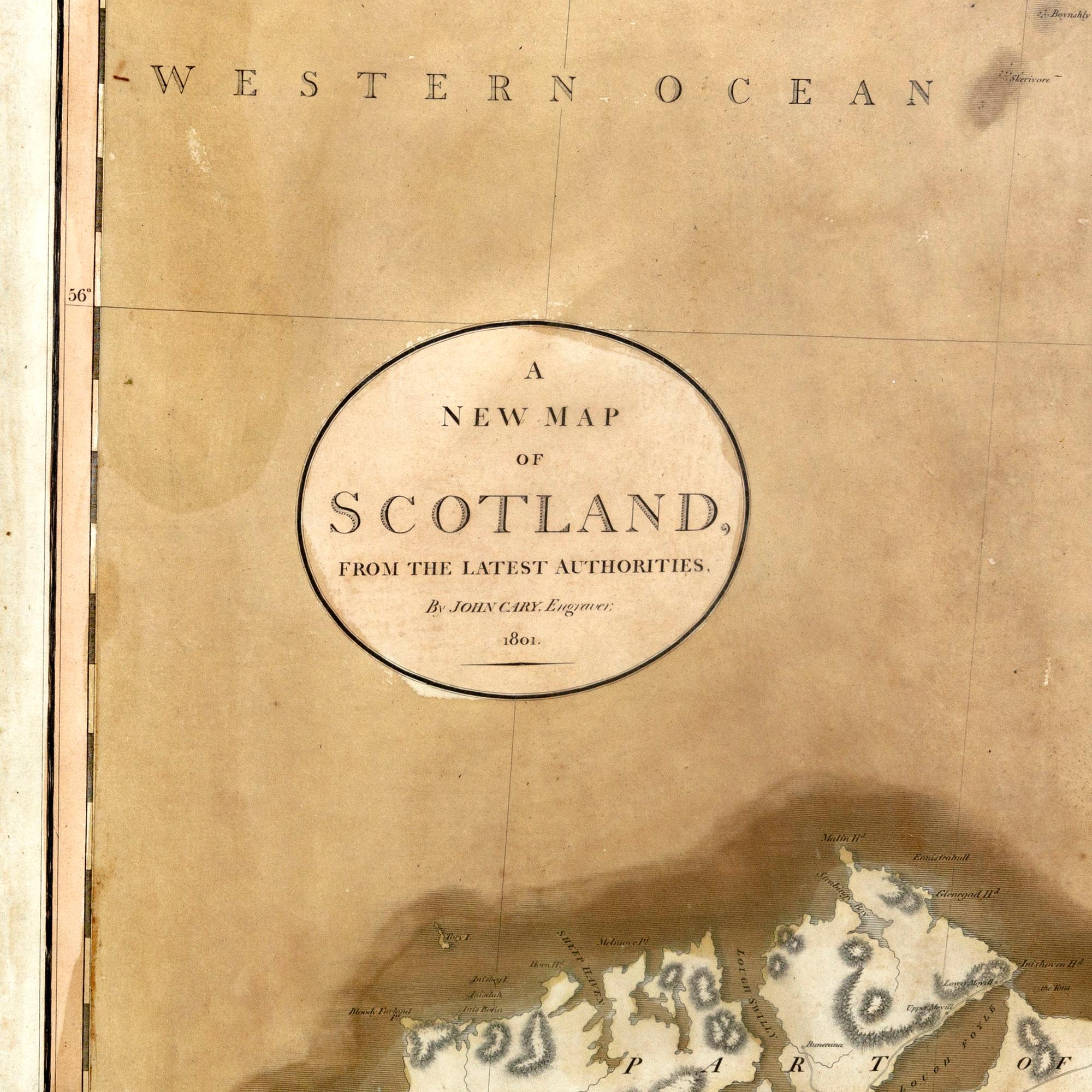
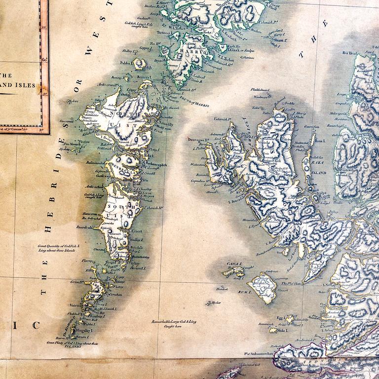
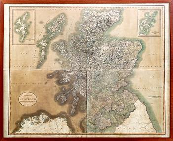
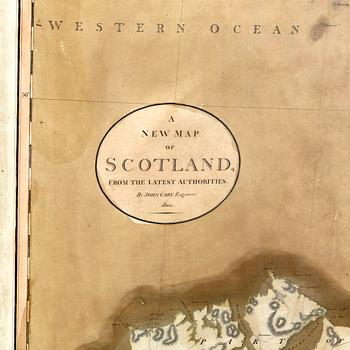
A John Cary map 1801 " A new map of Scotland"
Huutokauppa päättynyt
88x100 cm
Haalistunut. Ei tutkittu ilman kehyksiä. Tahroja. Jälkiä.
Muut tiedot
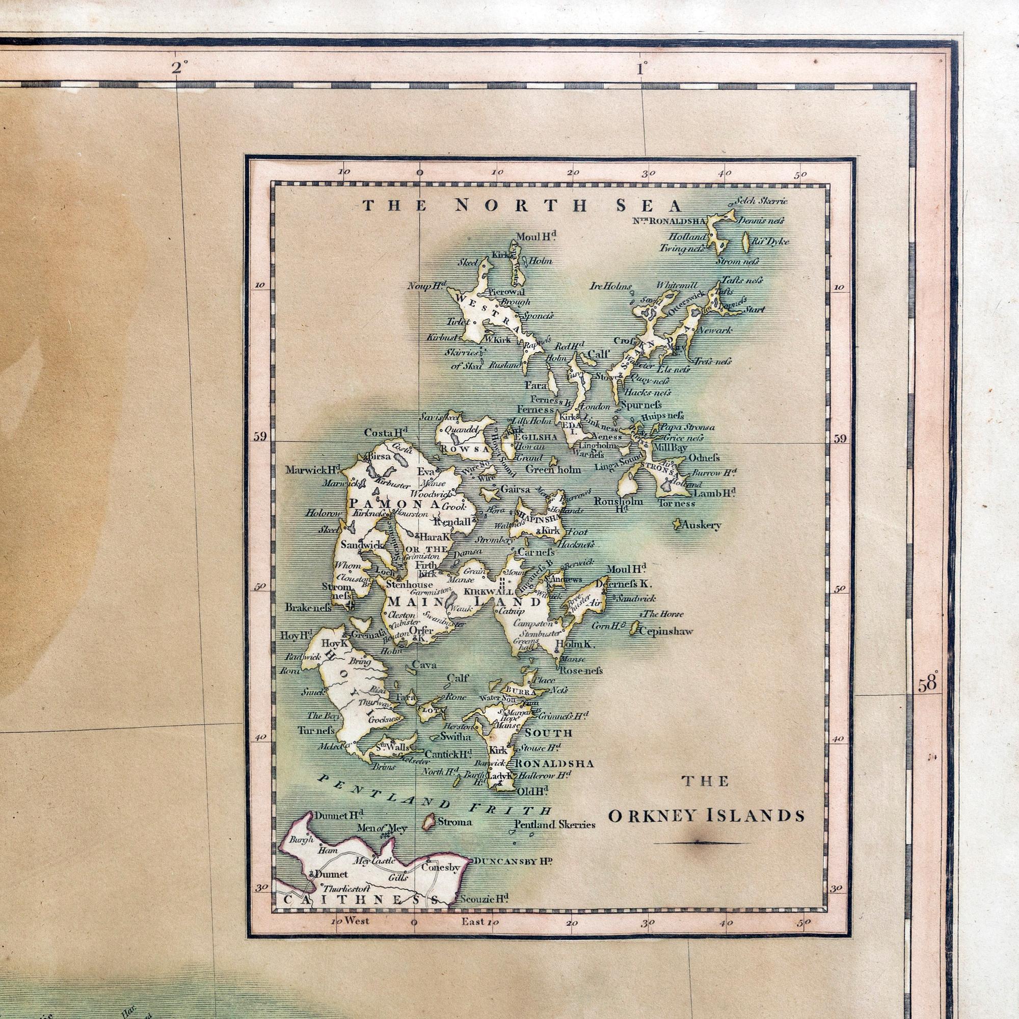
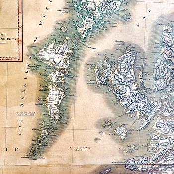
A very attractive example of John Cary’s stupendous four sheet 1801 map of Scotland. Covers the entirety of Scotland as well as parts of neighboring England and Ireland. Inset maps detail the Orkney Islands and the Shetland Islands. Offers extraordinary detail on the whole of Scotland with special attention to topography, historical notations, and roadways. Note mileage. Four sheets designed to be united into a single massive wall map of Scotland All in all, one of the largest and most highly detailed maps of Scotland to appear in first years of the 19th century. Prepared in 1799 by John Cary for issue in his magnificent 1808 New Universal Atlas.
Tietoa ostamisesta