


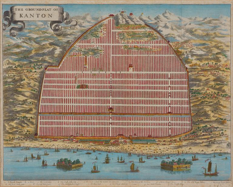
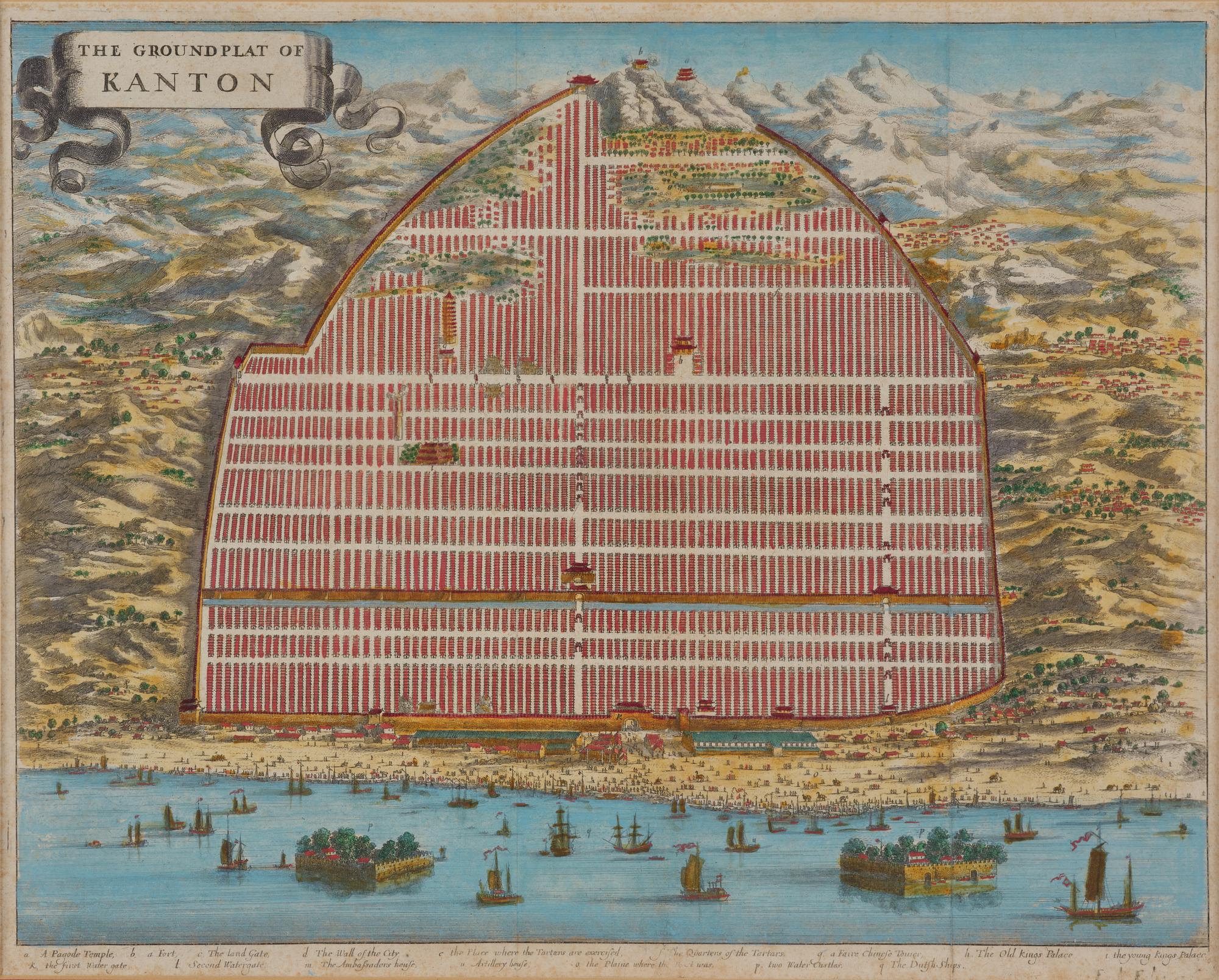
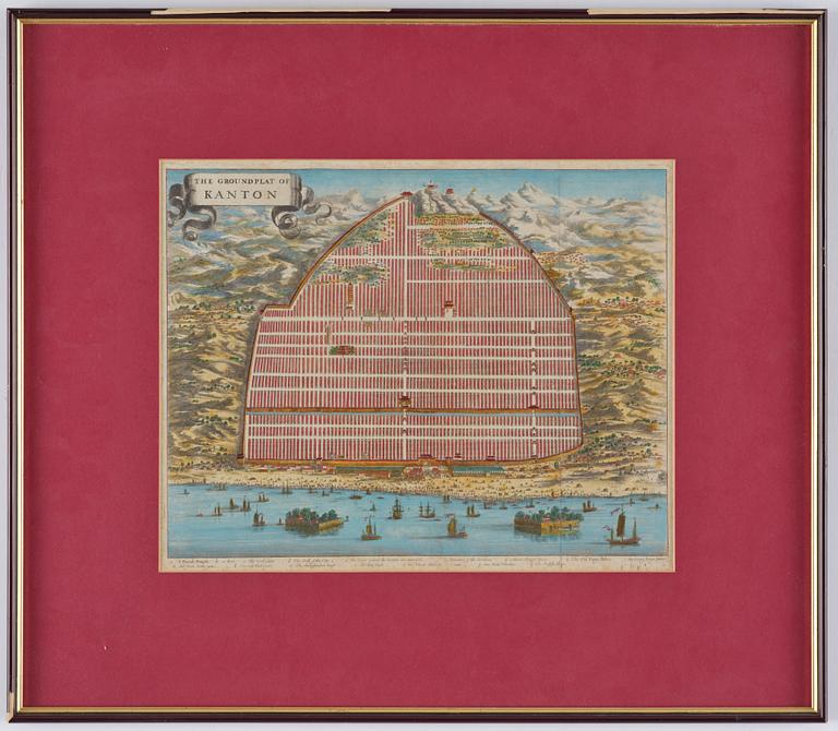
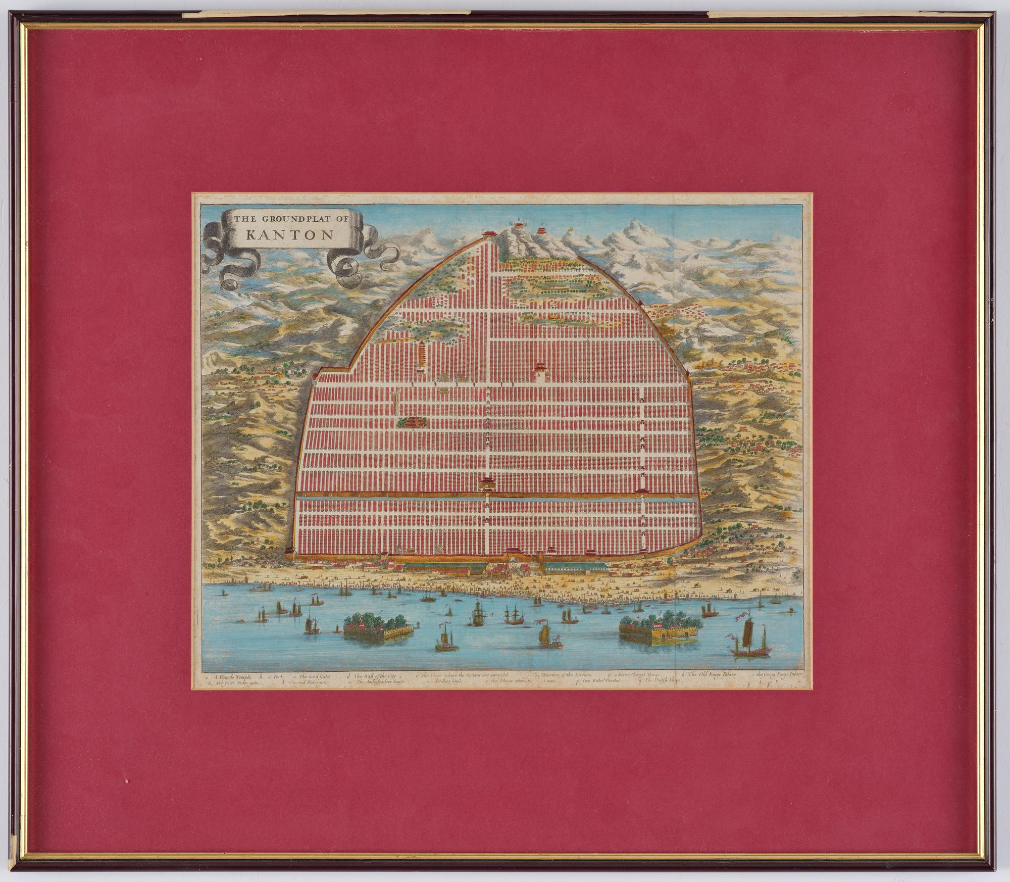
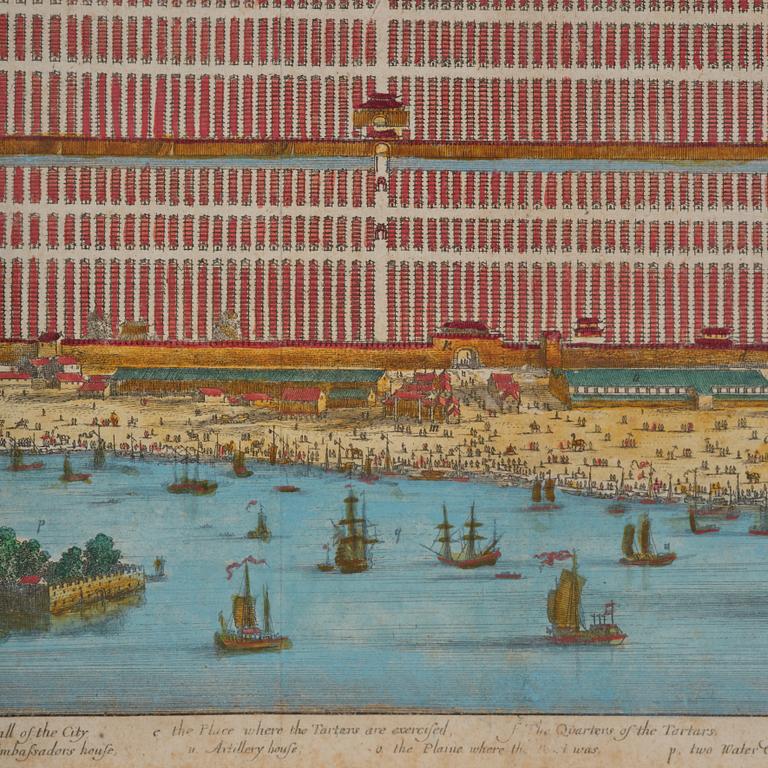
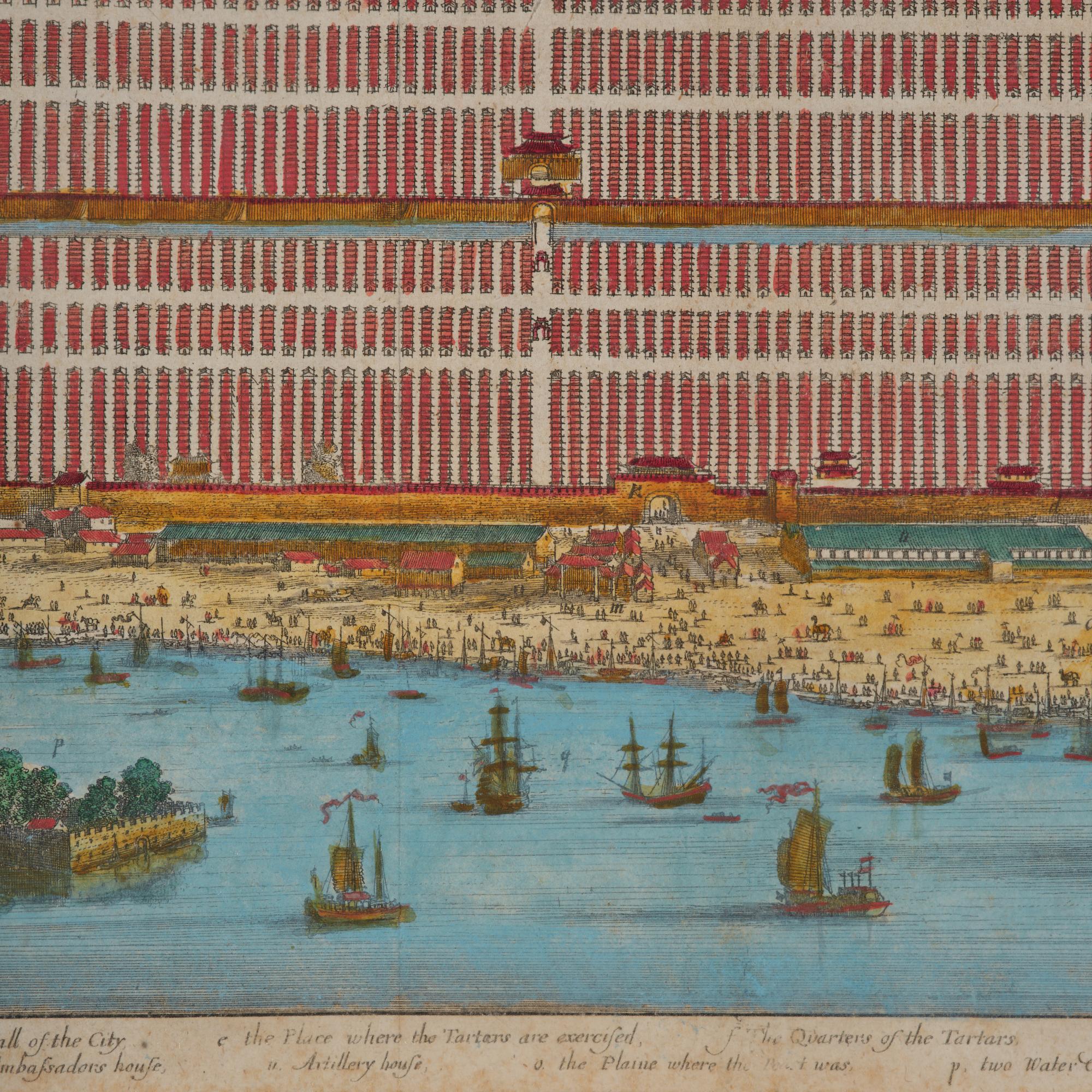
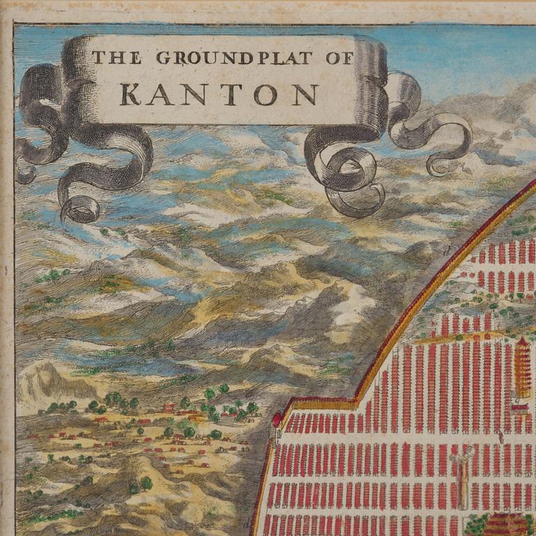
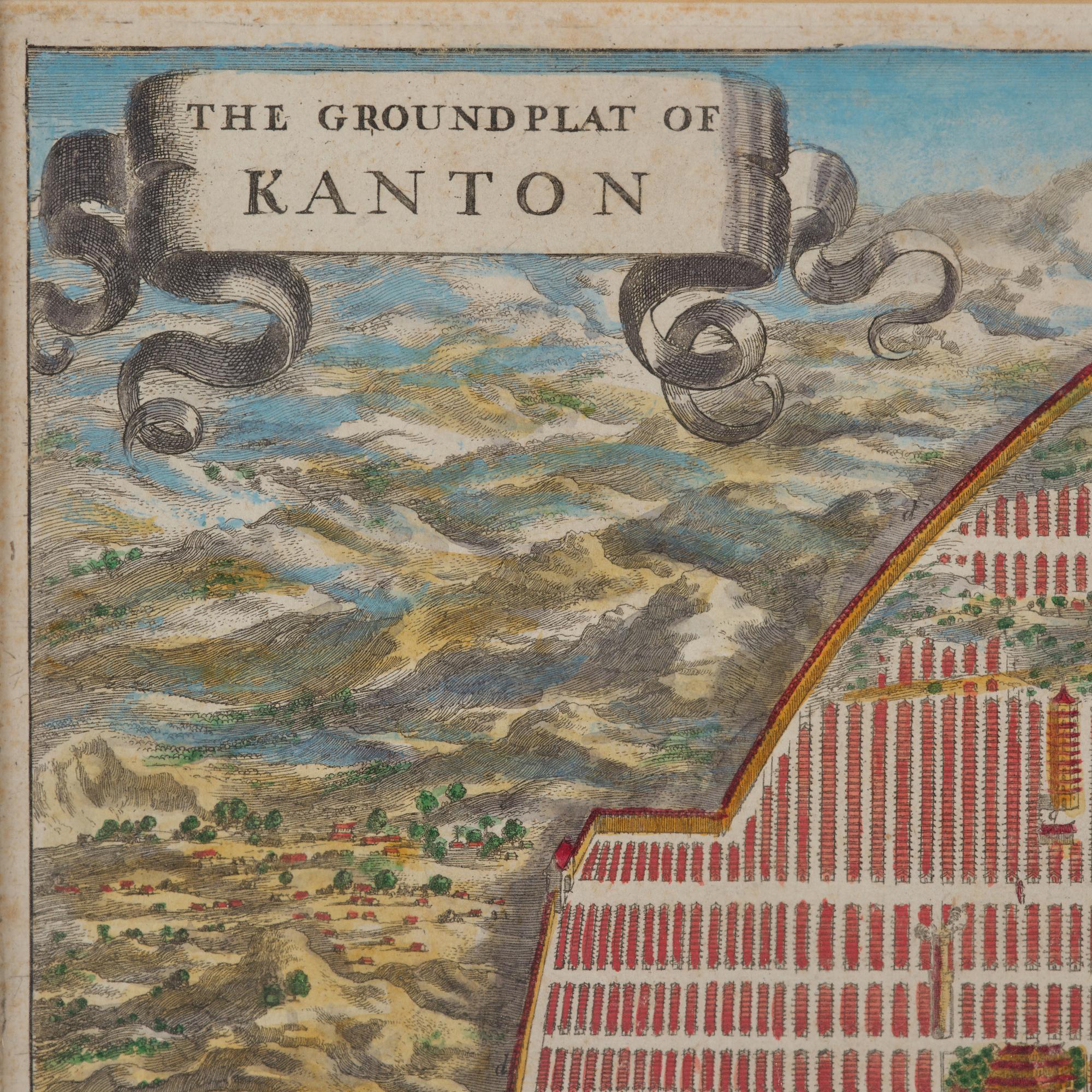
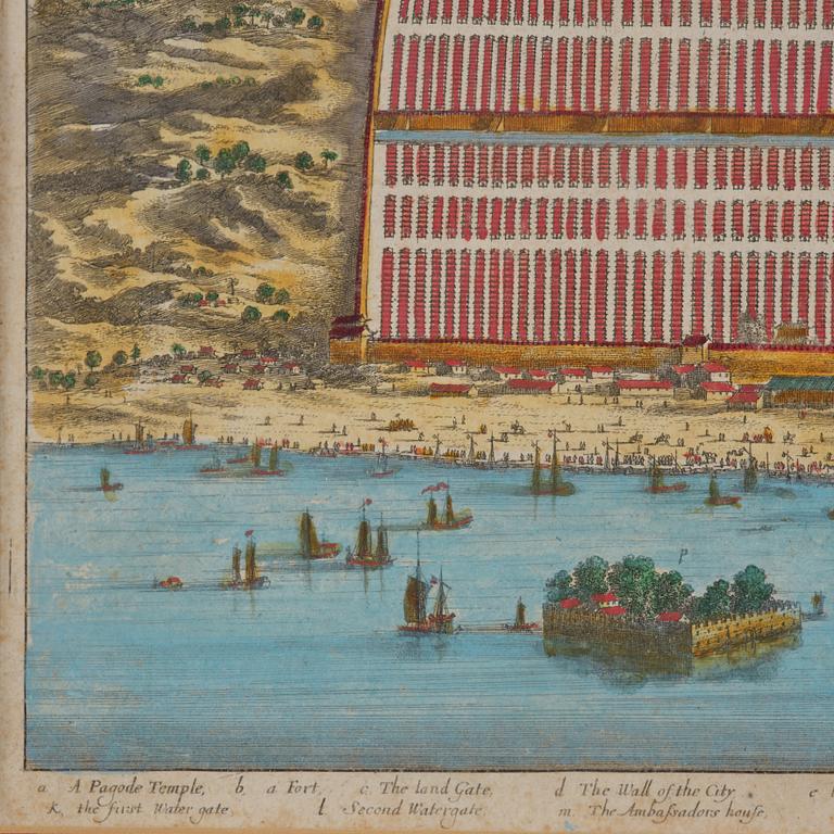
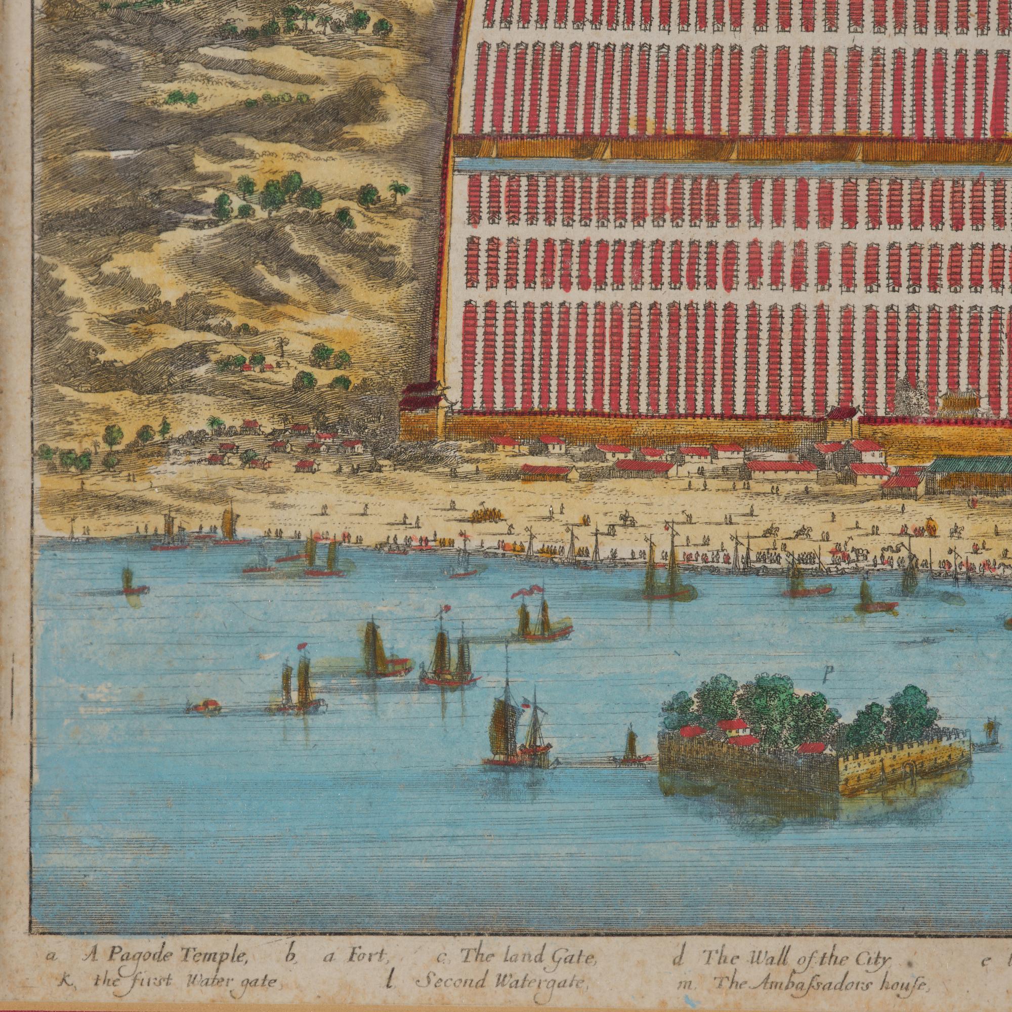
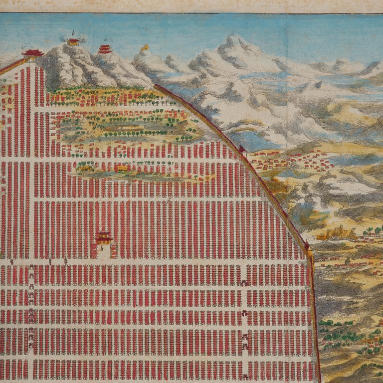
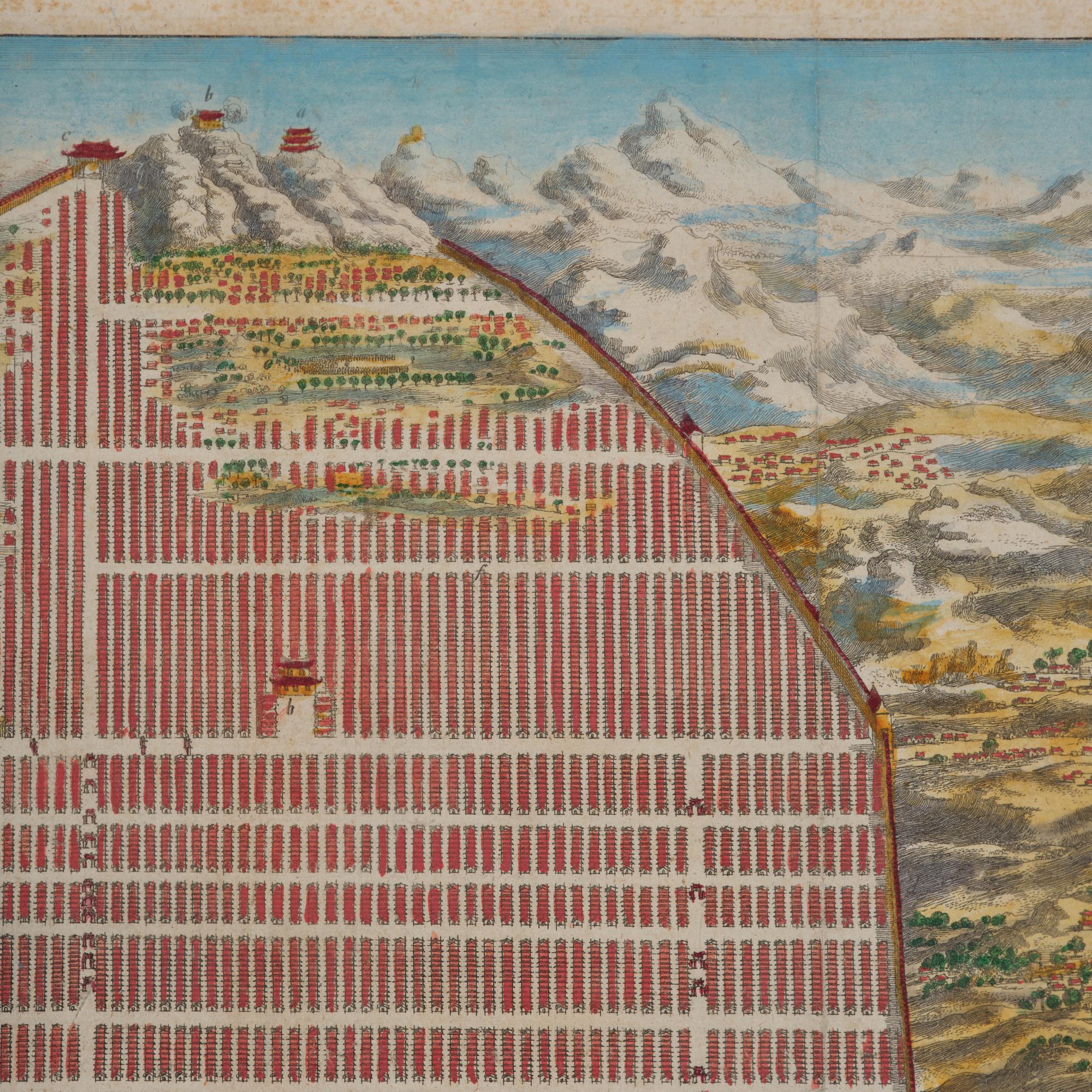
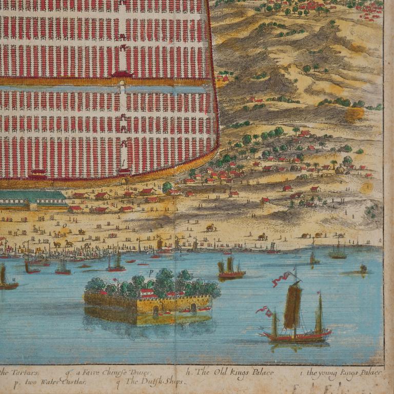
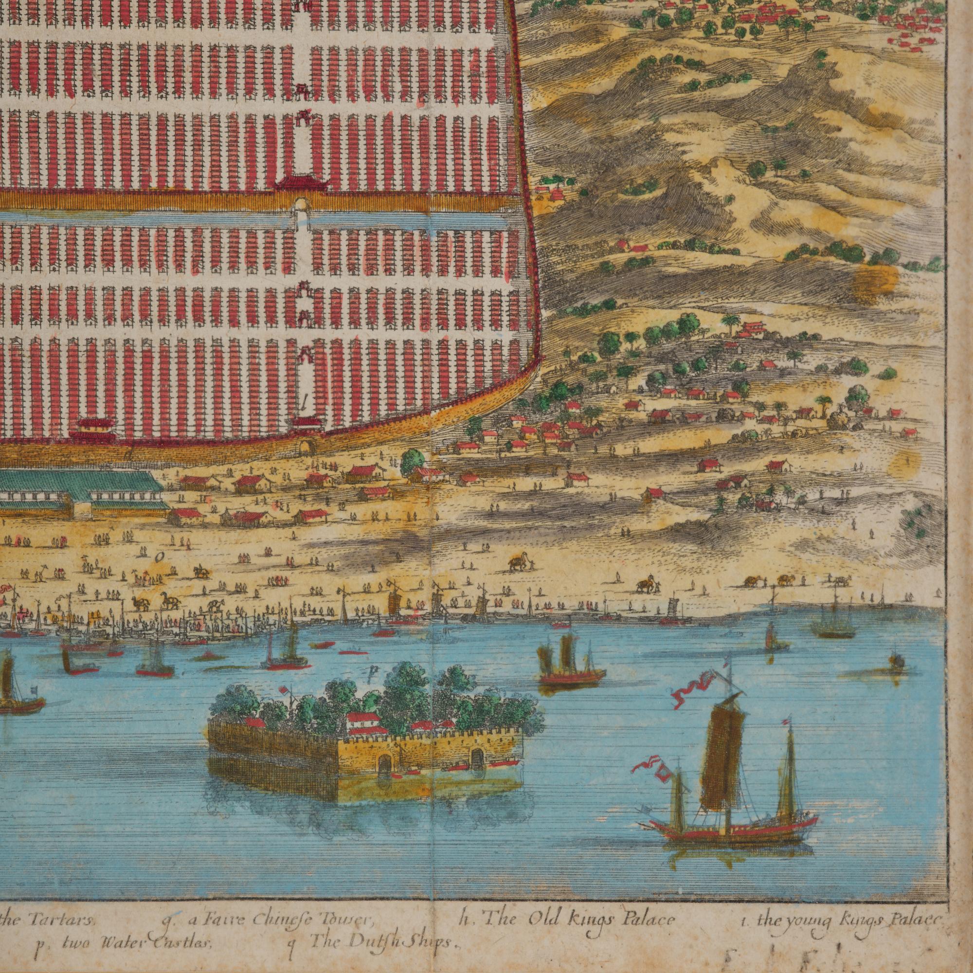
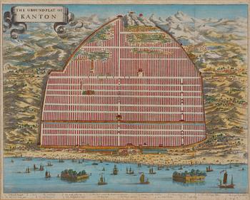
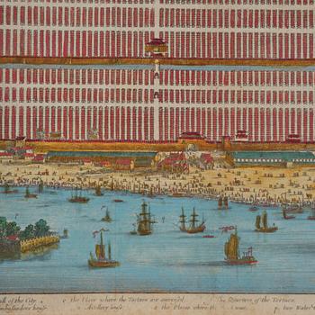
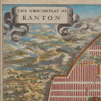
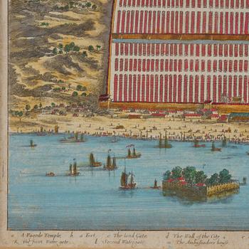
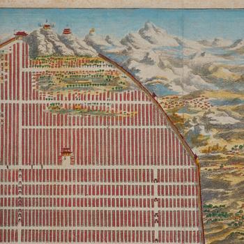
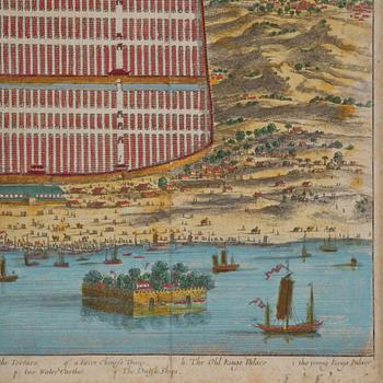
Map of Canton, engraving, 'The Groundplat of Canton', W. Bramston, 1840.
Huutokauppa päättynyt
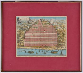
The Ground Plat of Canton. Map describing the city of Canton in the year 1840. W. Bramston, British Superintendent in Canton. Later coloured. Image area c. 29.5 x 36.5 cm. Frame 51 x 58.5 cm.
Not examined out of the frame. Stains. Creases.
Tietoa ostamisesta
Muiden katsomia kohteita


1733067
A Chinese yellow ground porcelain tureen with cover,
20th century.
Ei tarjouksia
3p 16 h
Lähtöhinta
2 500 SEK
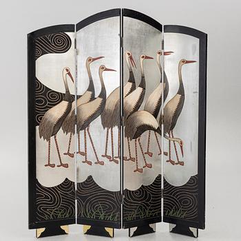
1740949
A four-panel folding screen,
second half of the 20th Century.
Tarjottu
1 900 SEK
5p 17 h
Lähtöhinta
3 000 SEK