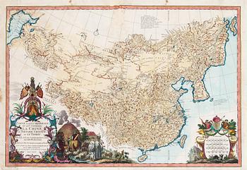
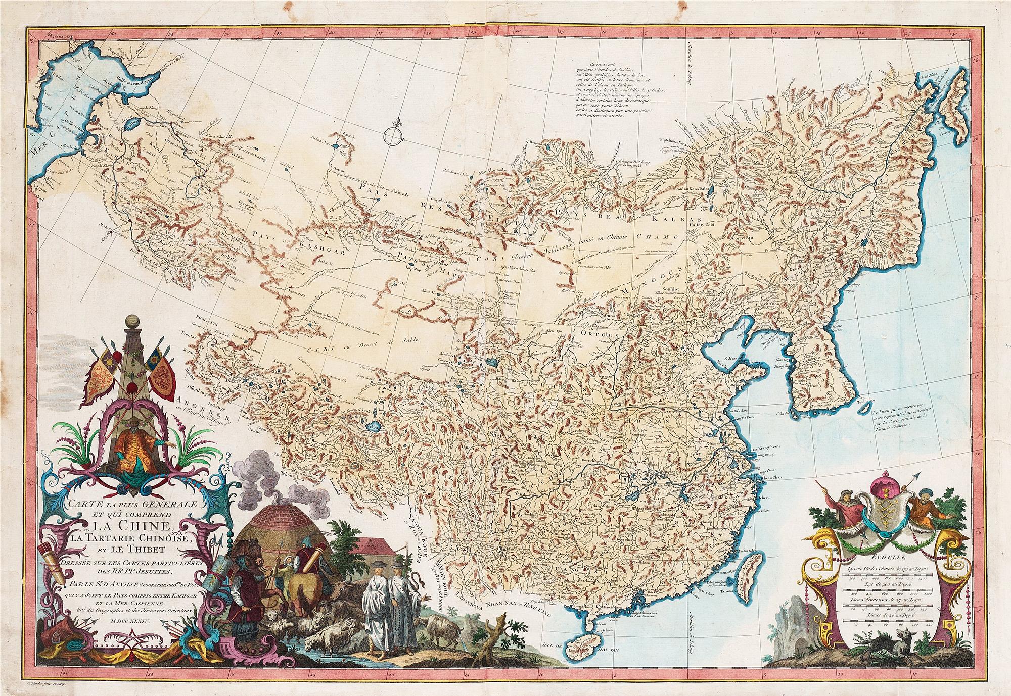
Kolorerat kopparstick, "Carte La Plus Generale et qui Comprend la Chine, La Tartarie Chinoise, et le Thibet, Dresee sur les Cartes Particulieres des RR PP Jesuites...MDCCXXIV", av Jean Baptise Bourguignon D'Anville, utgiven i Haag 1737. Ca 49,5 x 70,7, bladstorlek 50,5 x 73 cm.
Skador, lagningar, senare kolorering.
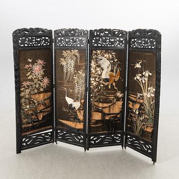
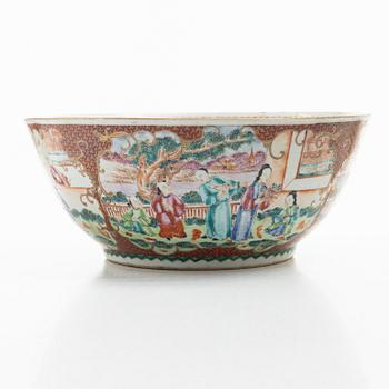
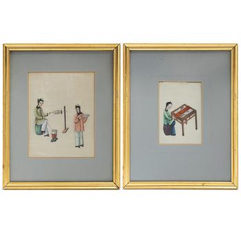
Övrig information
D'Anville's map of China is perhaps the single most influential map of China published in the 18th Century. D'anville used maps prepared by Jesuit missionaries and commissioned by Emperor Kangxi, who in 1708-1716 ordered a surveying of the country. A copy of these surveys were sent to Paris and the Royal cartographer D'Anville was commissioned to drawn this map, which is the first reasonably accurate picture of China.
The cartouch shows Emperor Kangxi presiding over the surveying work. Two Jesuit priests are investigating a farmer settlement, his lodging and cattle.
The map extends west to Tibet and Kashgar, all now part of modern China, respectively as; Tibet, Xinjiang (whose second largest city is Kashgar), Inner Mongolia, and Manchuria (Heilongjiang, Jilin and Liaoning provinces.

Andra har även tittat på