


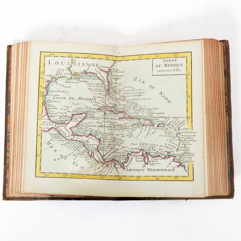
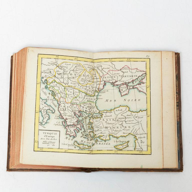
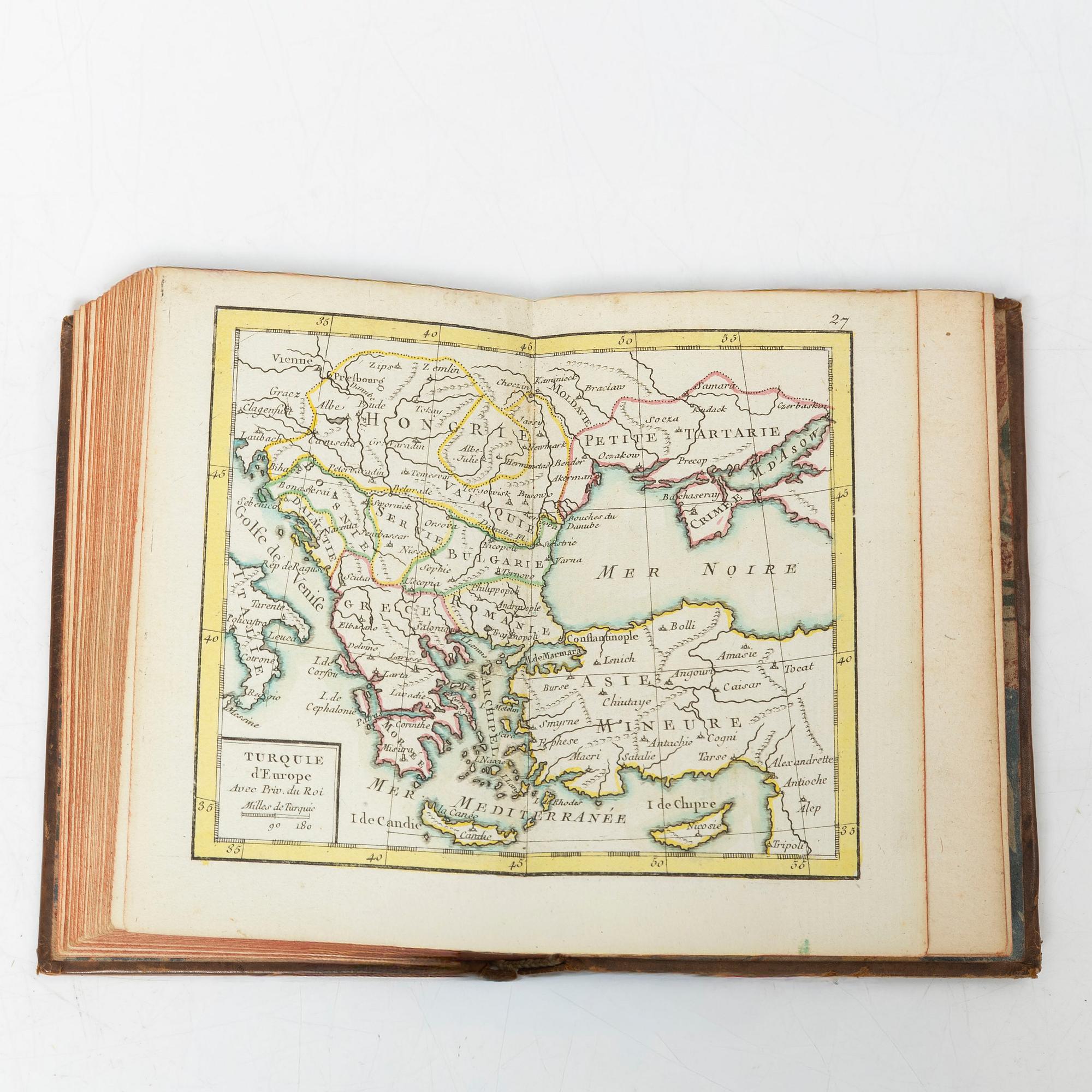
With 31 engraved double-page maps


Giovanni Antonio Rizzi Zannoni:
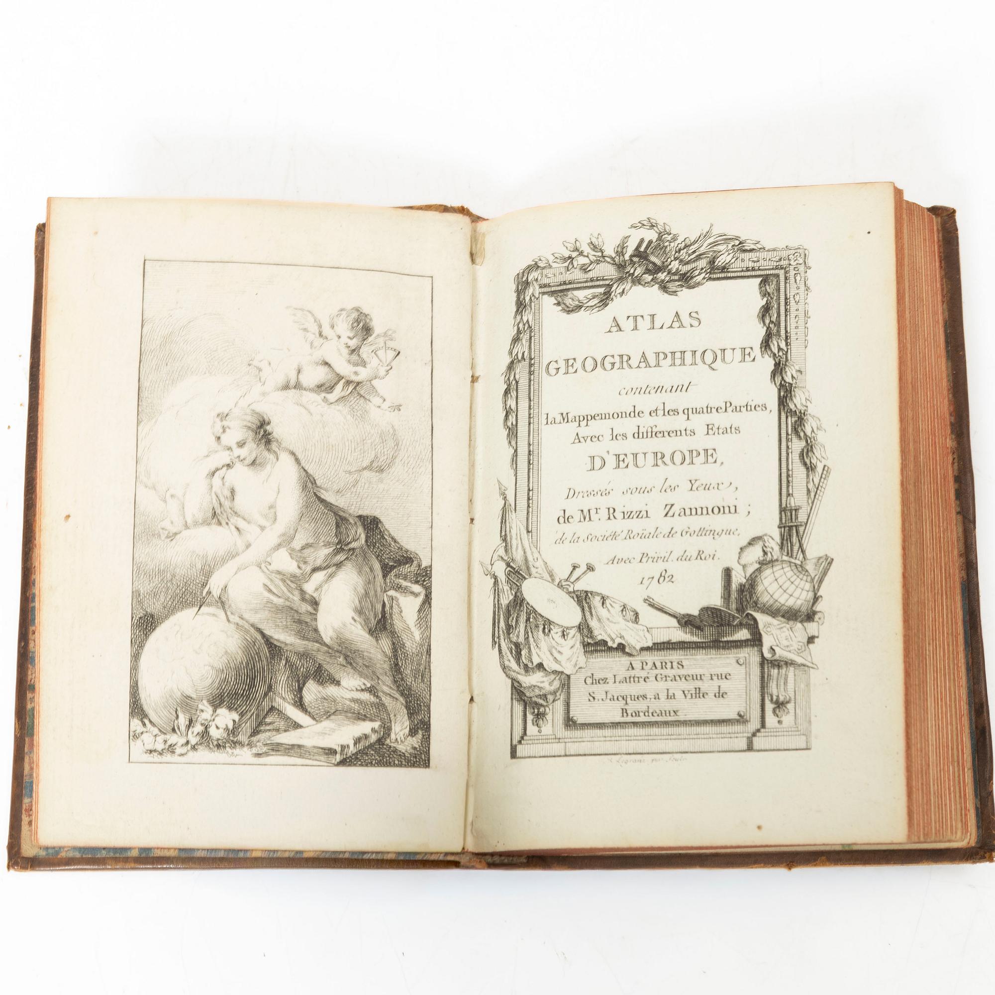
Atlas geographique contenant la mappemonde et les quatre parties, avec les differents etats d’europé.
Paris, chez Lattré, 1782. 12,4 x 8,4 cms. [4] leaves (engraved frontispiece, title, and table of contents) + 27 numbered maps + a map numbered 24 bis + [3] unnumbered maps, all double-page and with some slight colouring of borders and outlines.
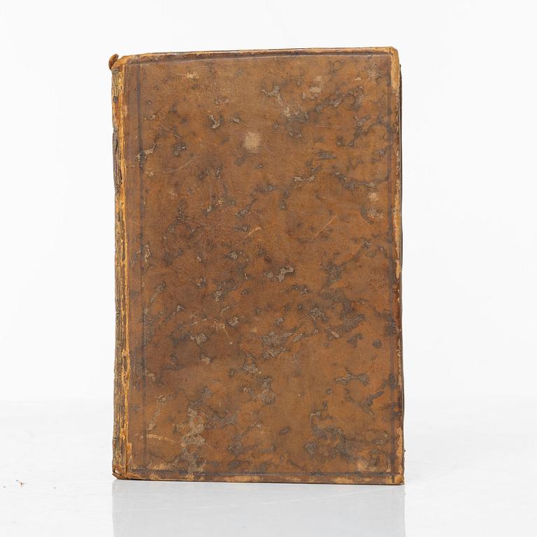
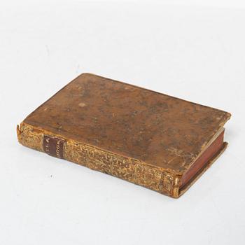
Contemporary mottled calf, gilt spine, marbled endpapers, a few nicks to head and foot of spine. Internally very fine.
The first edition appeared in 1762 with 27 maps, here the date has been altered for a new edition with a few more maps.
.
Kontakt

Kundservice
Har du frågor gällande transport, betalning eller övriga frågor vänligen kontakta vår Kundservice.
Sverige
Telefontid: måndag – fredag 9–12
+46 8-614 08 00
Finland
Telefontid: måndag – fredag 10–13
+358-9-668 91 10