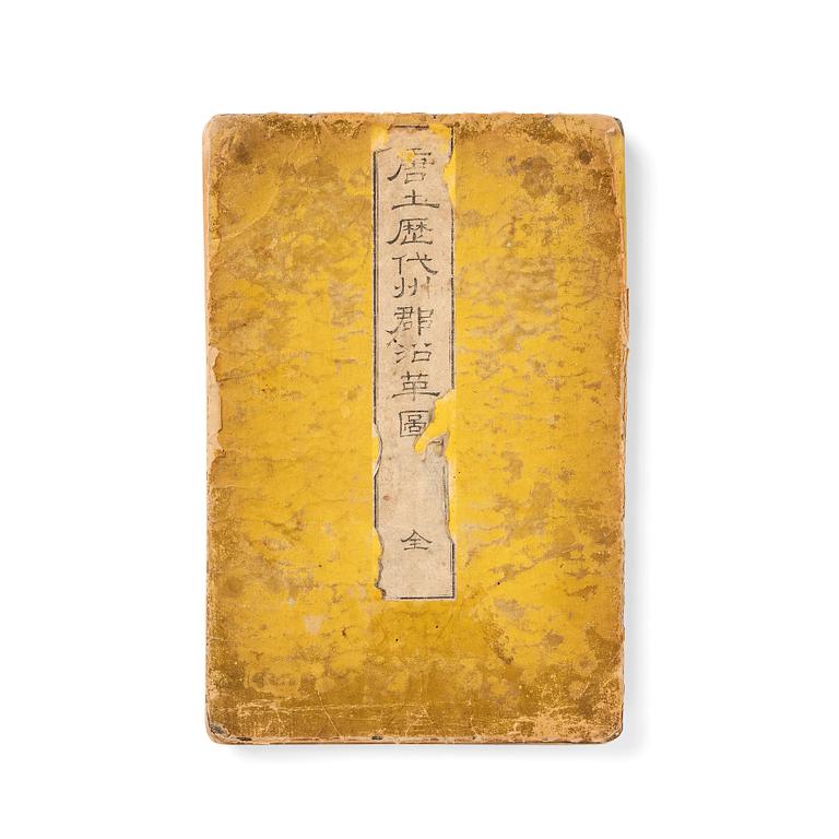
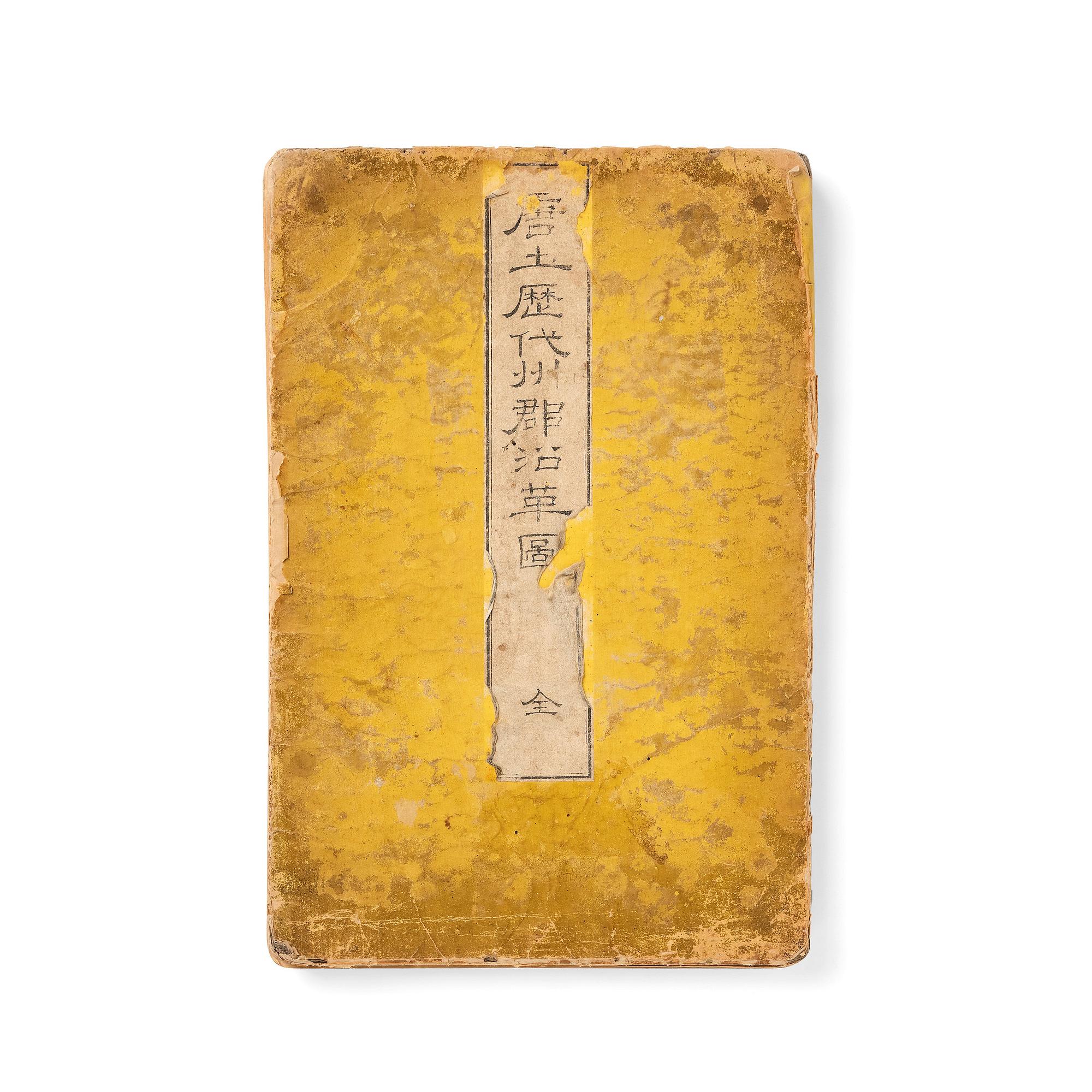
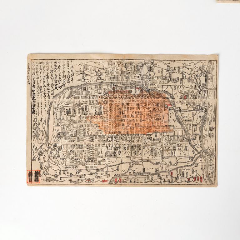
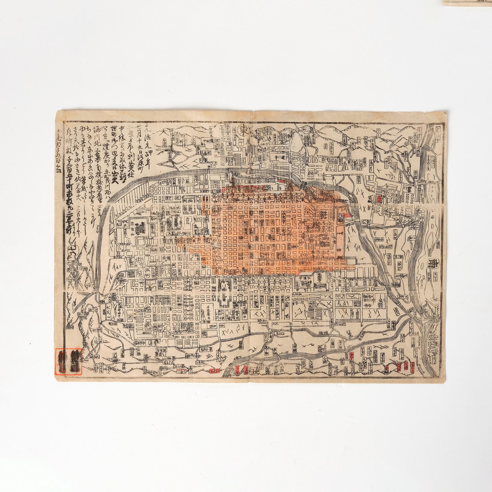
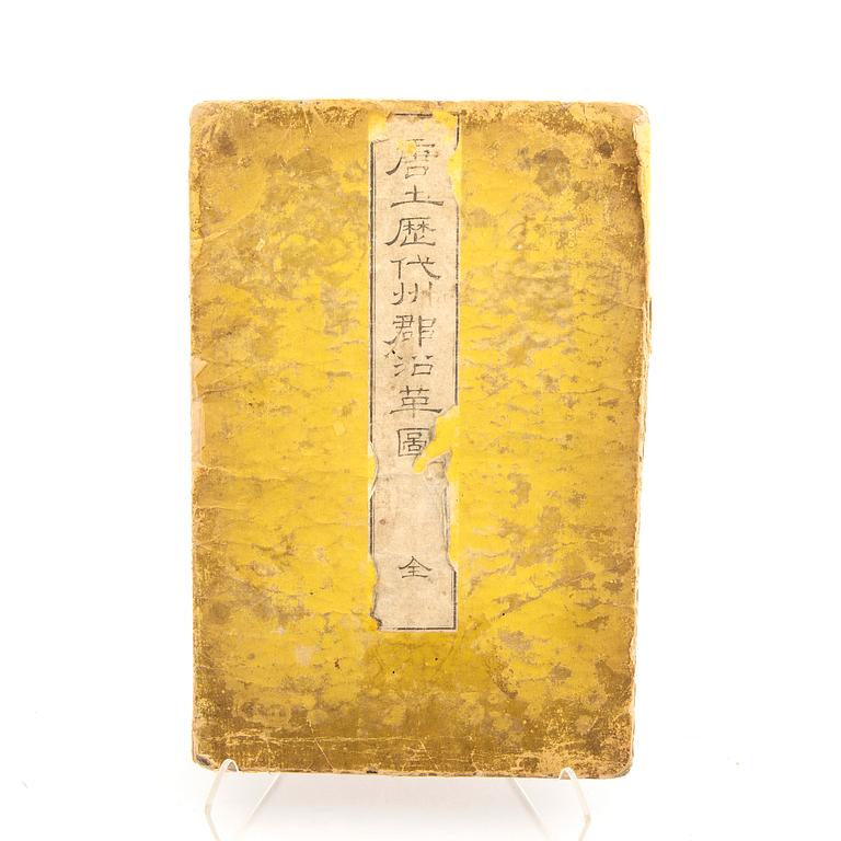
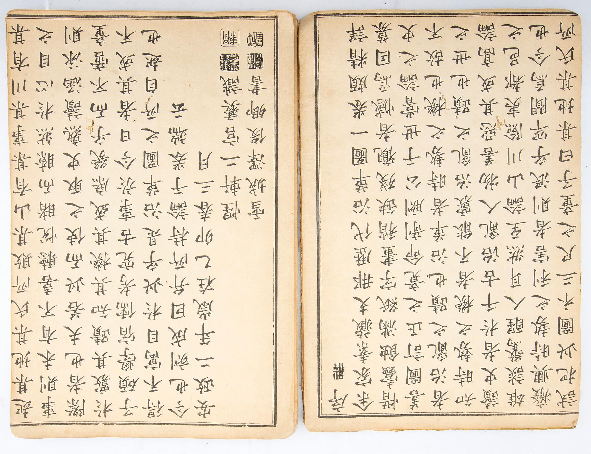
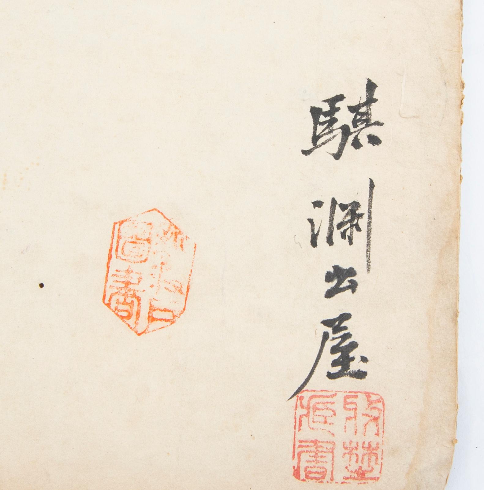
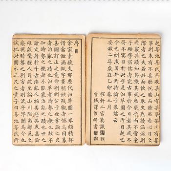
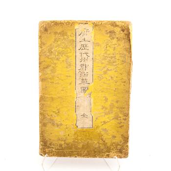
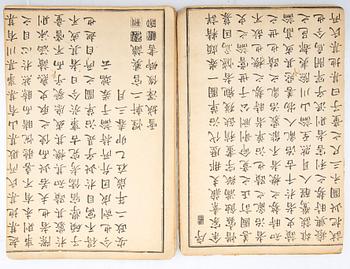
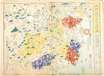
1 volume in yellow paper covered binding. Containing 13 double-page colour woodblock maps, red seal to title. Measurement 24x36 cm (book). Maps folded out 36x47.5 cm.
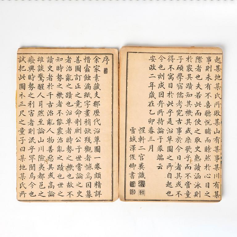
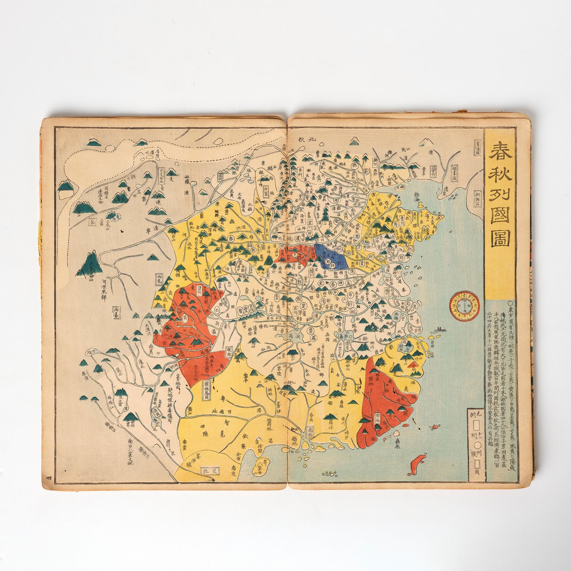
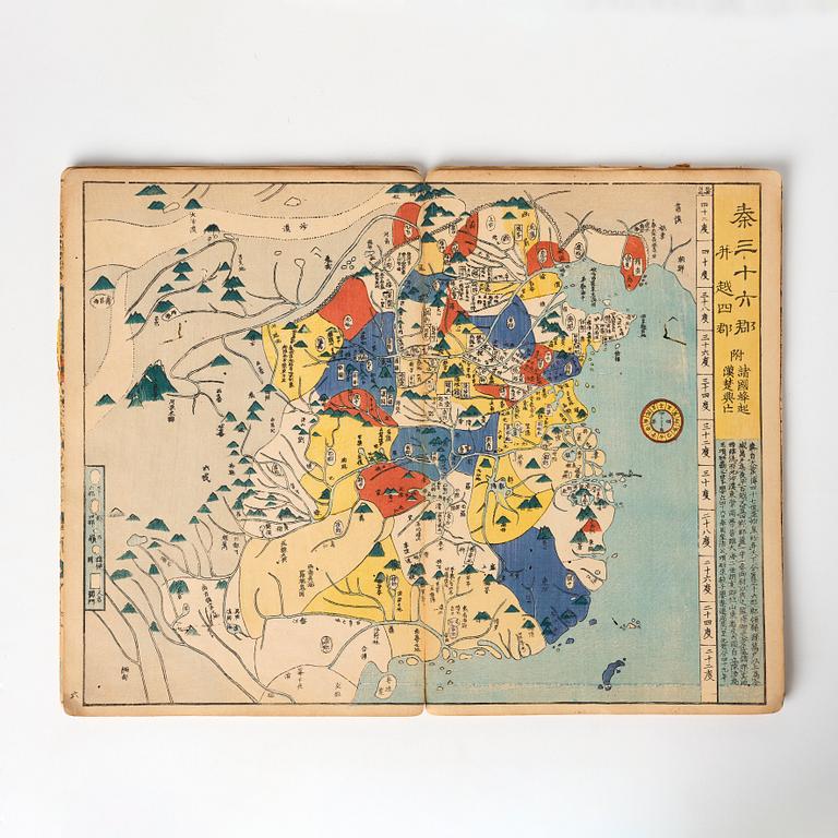
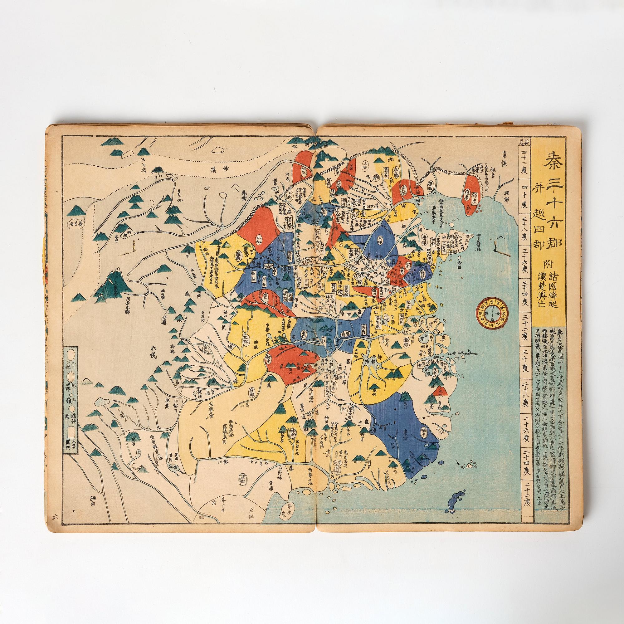
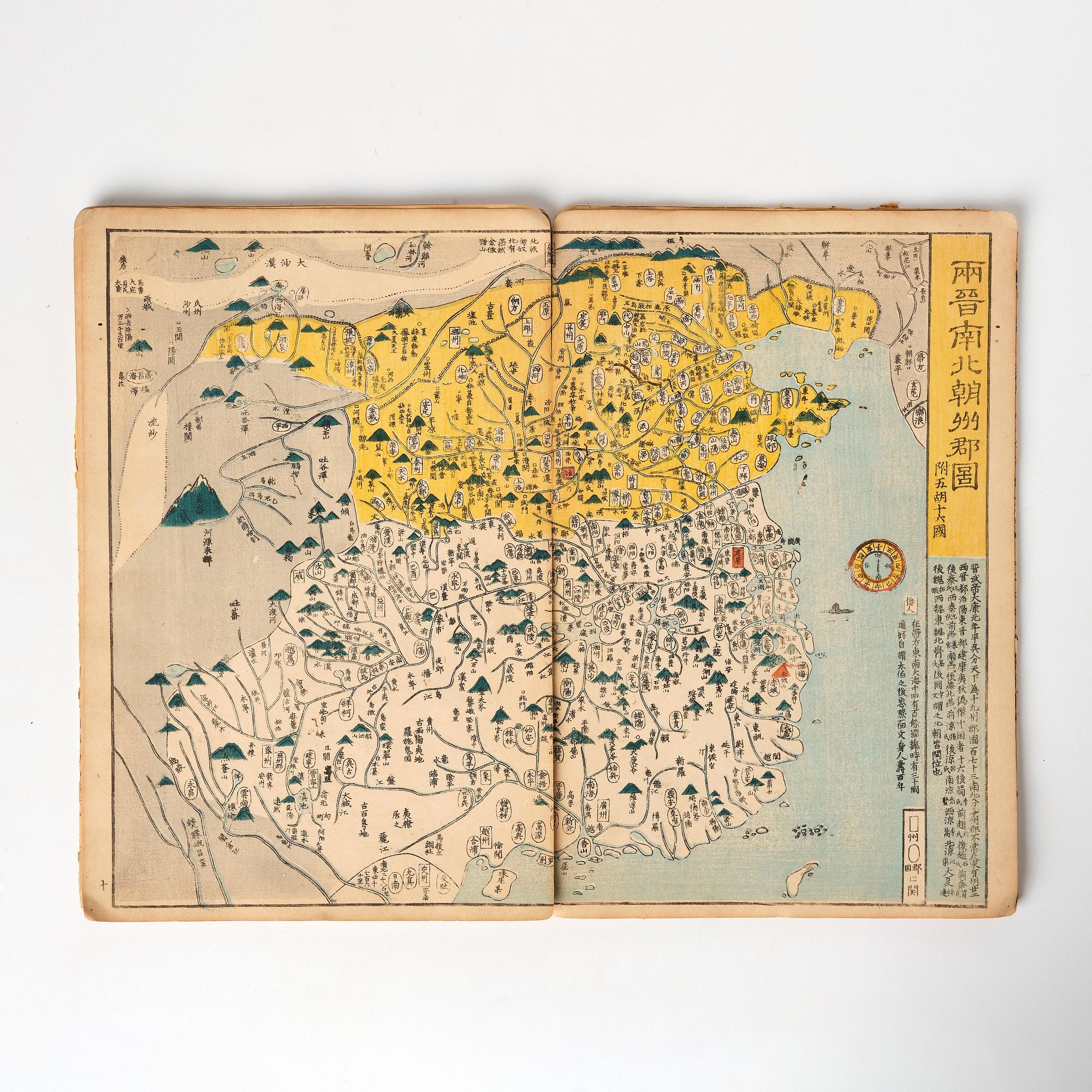
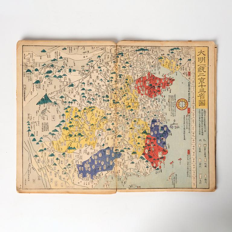
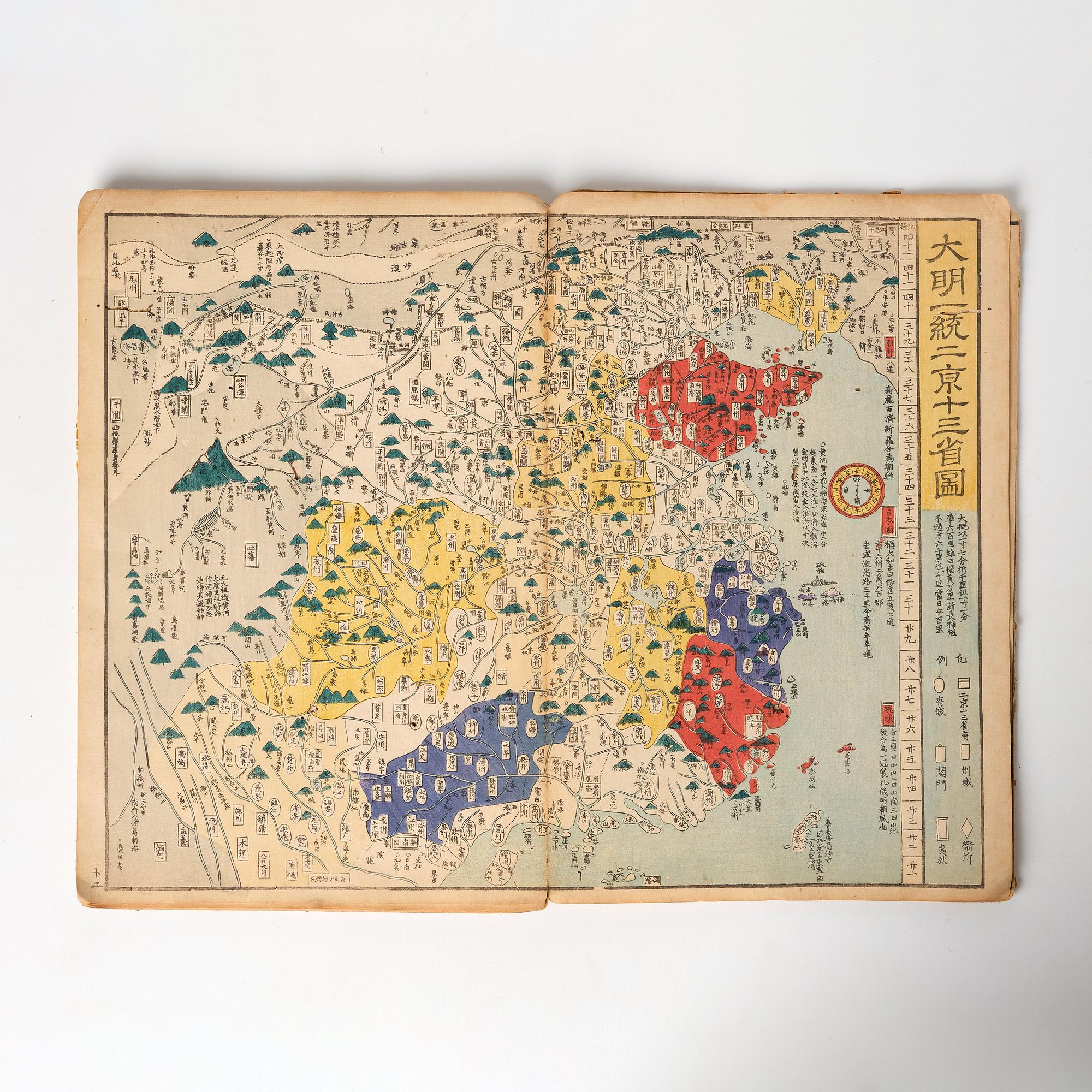
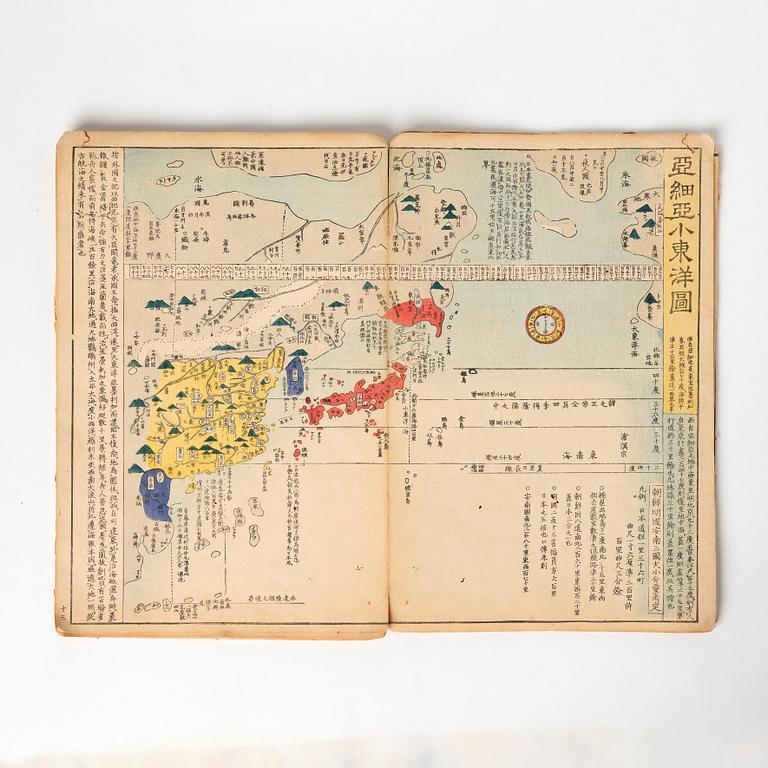
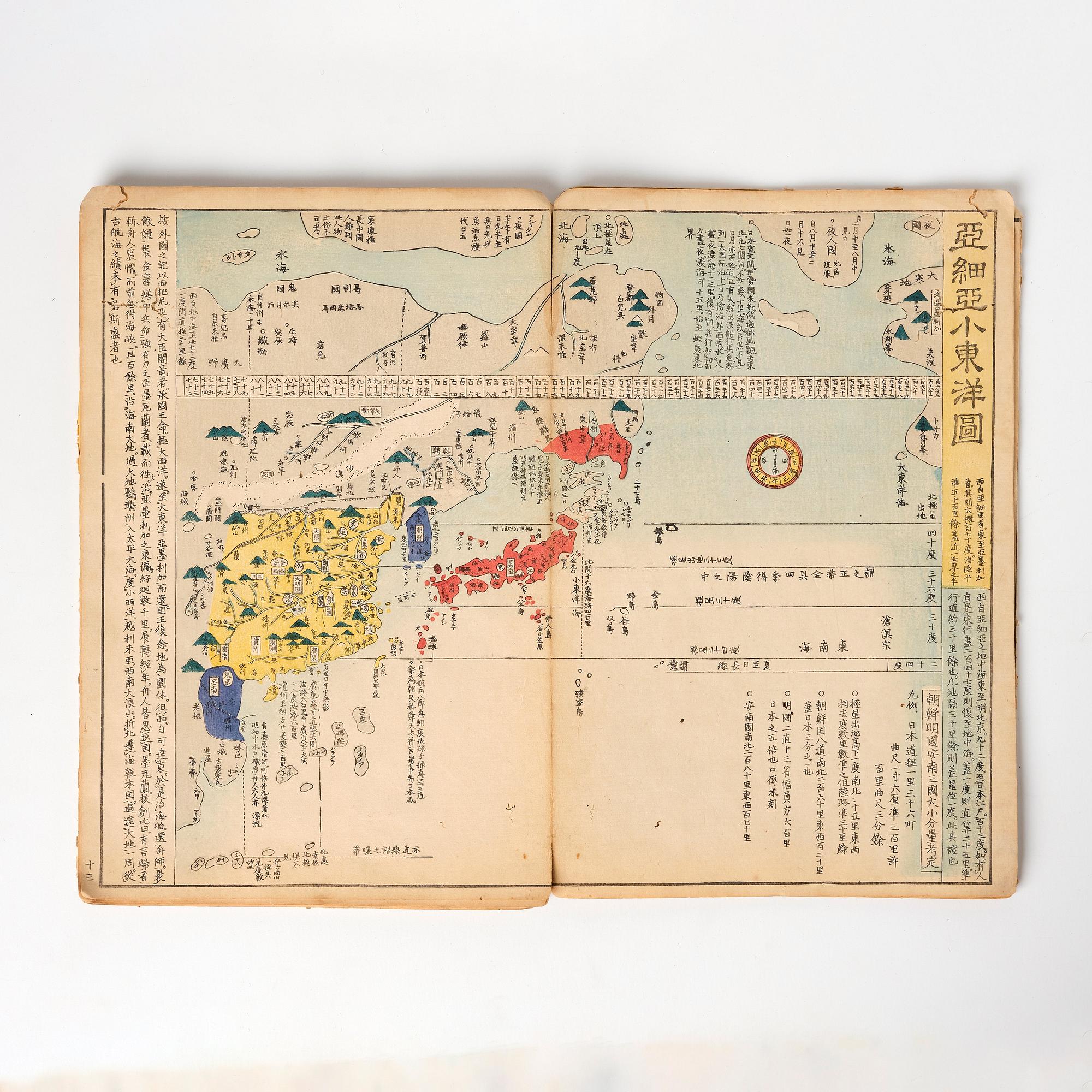
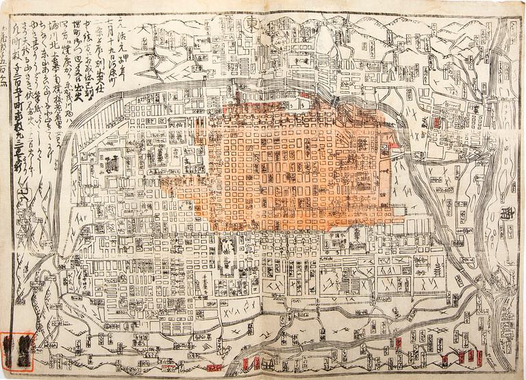
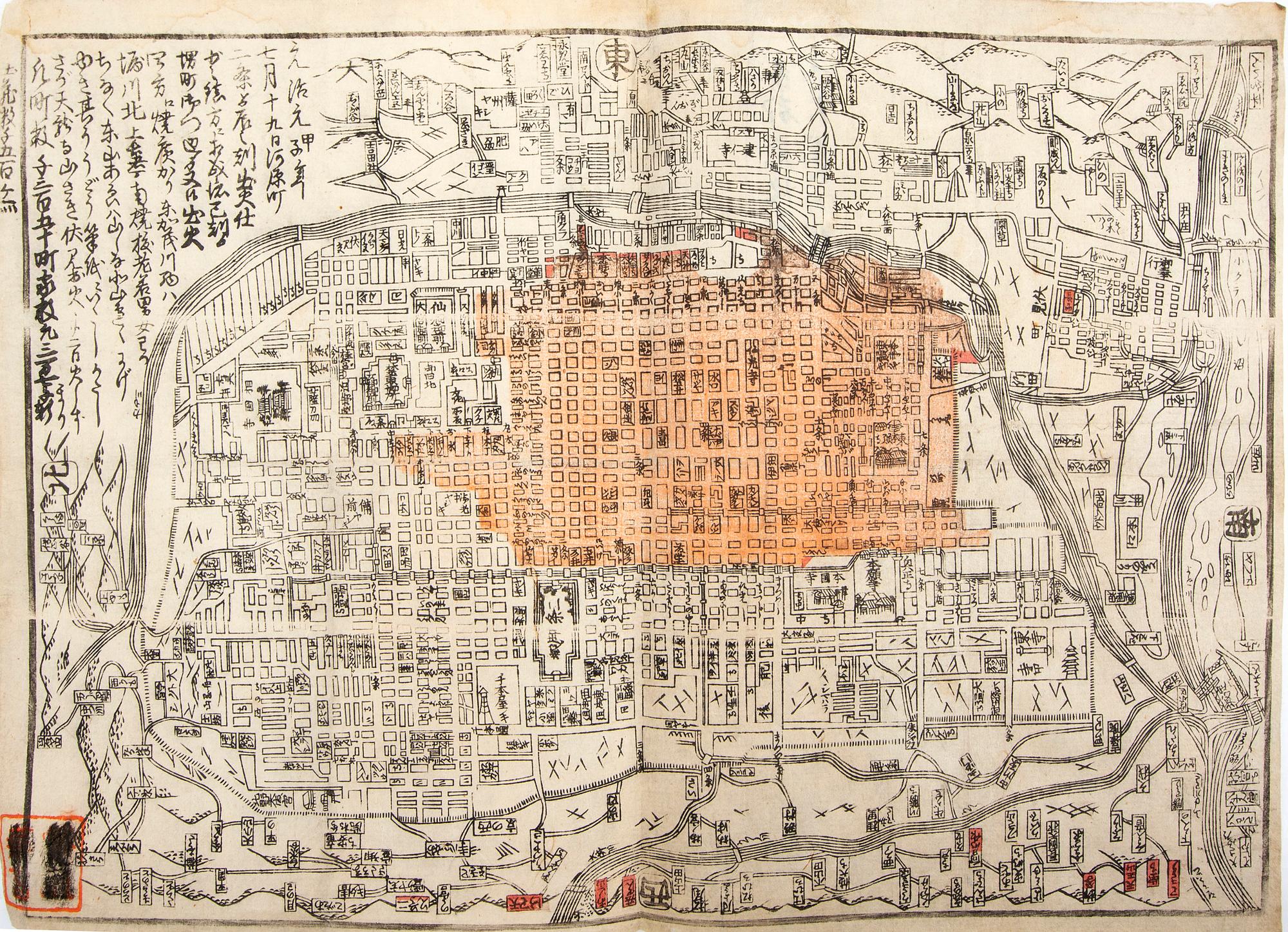
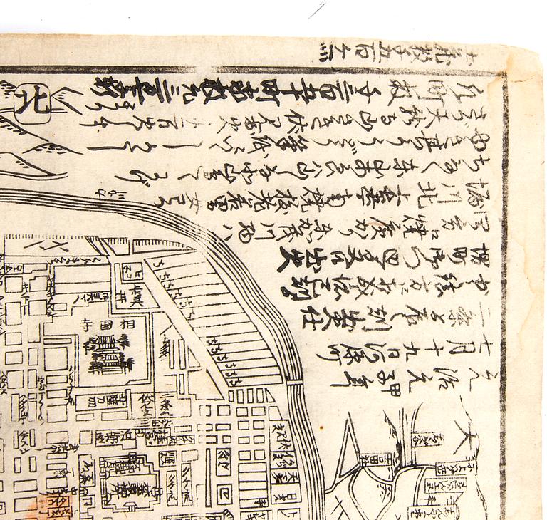
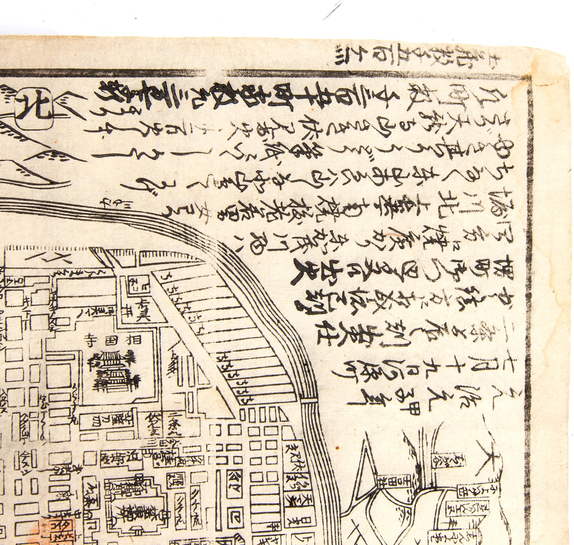
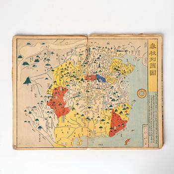
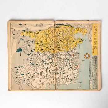
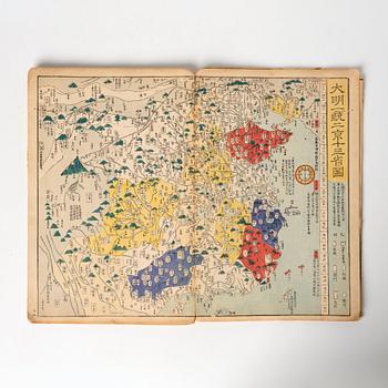
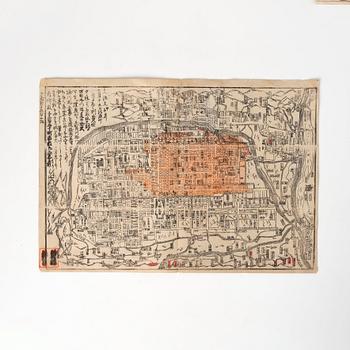
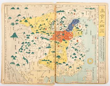
This Japanese historical atlas contains 13 maps of China, tracing Chinese history. 12 of which show the geographic extent of various Chinese Dynasties. Maps include the Ming Dynasty, Tang Dynasty, Yuan, Qin, Three Warring States, Eastern Han and others. There is also one map of the North East Asian region, showing China, Korea and Japan. It provides an overview of the “various provinces of China divided and sorted by different generations. The atlas lists not only the distance between cities in China but also the eight different seaways from Japan to China and their distances.
Worming, rubbing, creases and surface loss to covers.
Literature
First published in 1789, two editions of this atlas were published in 1835, with the final edition in 1857. Ref: Kazutaka Unno, Mapping Japan, 1998, ch. 11, accessed via University of Chicago Press website; nagakubosekisui.org.
More information
The Confucian scholar Sekisu Nagakubo (1717-1801) was greatly inspired by the world map published in China in 1602 by the Jesuit missionary Matteo Ricci (1552-1610) for the Emperor of China Ming Shenzong.
From about 1614 onwards, Japan increasingly established a policy of seclusion from the rest of the world - carefully controlling trading contacts - which lasted to the mid-nineteenth century; knowledge of the outside world ossified, so Japanese cartographers had to rely on early seventeenth century maps to portray their world-view.
For condition report contact specialist


Others have also viewed