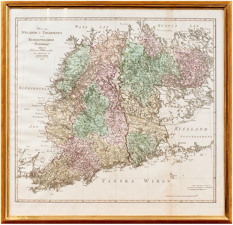
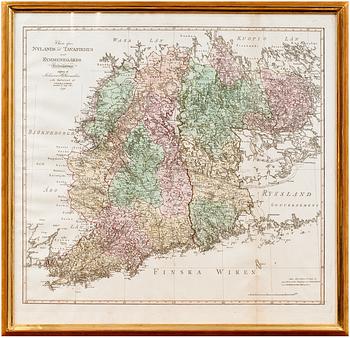
A MAP OF SOUTH-EAST FINLAND
Charta öfver Nylands och Tavastehus samt Kymmene gårds höfdingedömen 1798. Carl Petter Hällström. Coloured. 57x62 cm.
More information
From Atlas over the Grand Duchy of Finland.
The map shows the administrative districts of Finland
at the end of the Swedish era. They were prepared by the Finnish cartographer Carl Petter Hällström and were included in the first printed atlas of Finland, published by baron Samuel Gustaf Hermelin.
Source: J.Strang & E.- S. Harju: Suomen karttakirja 1799. Porvoo 2005.