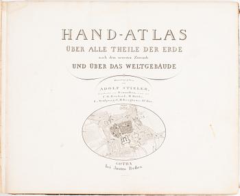
Adolf Stieler:
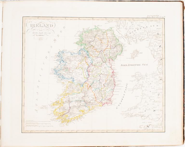
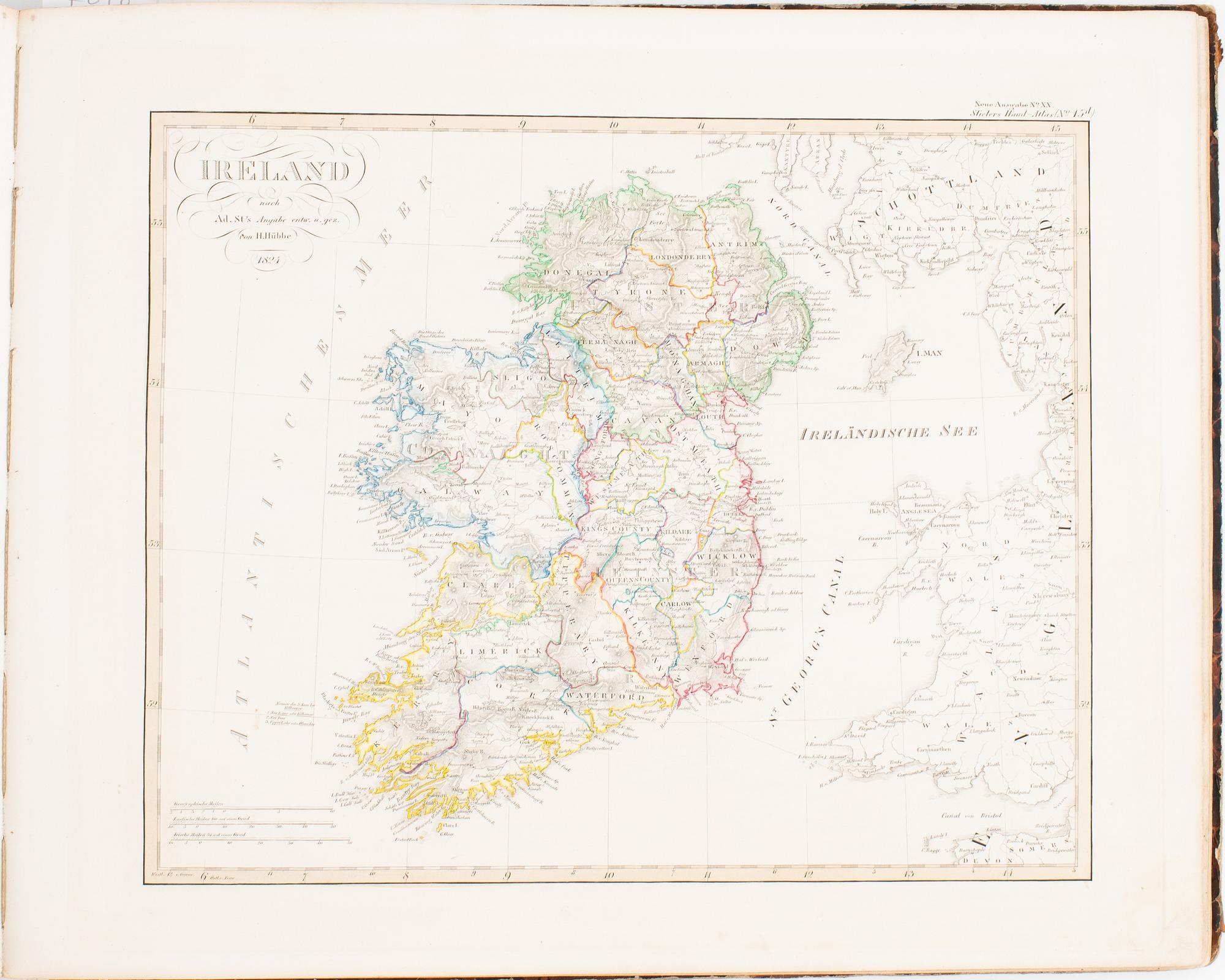
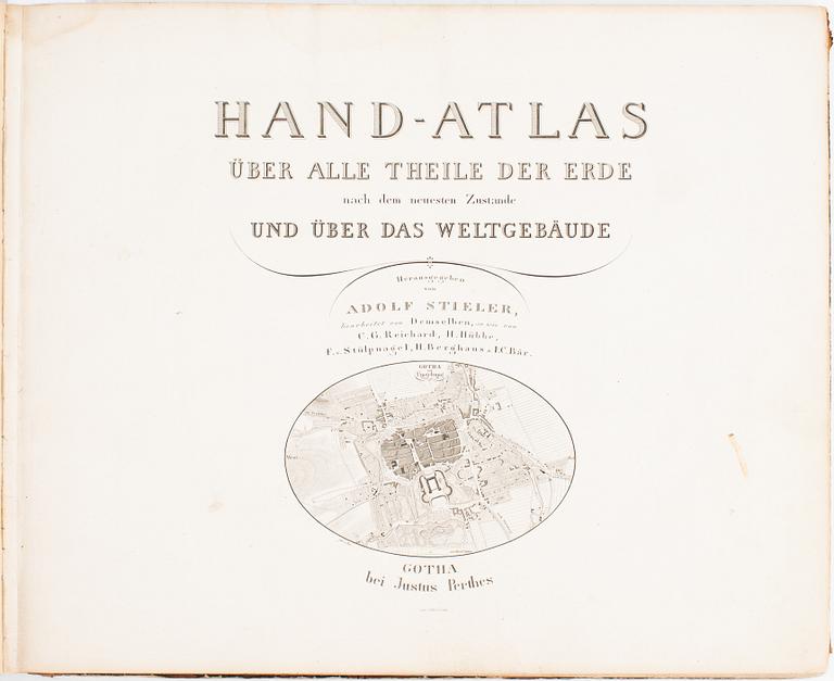
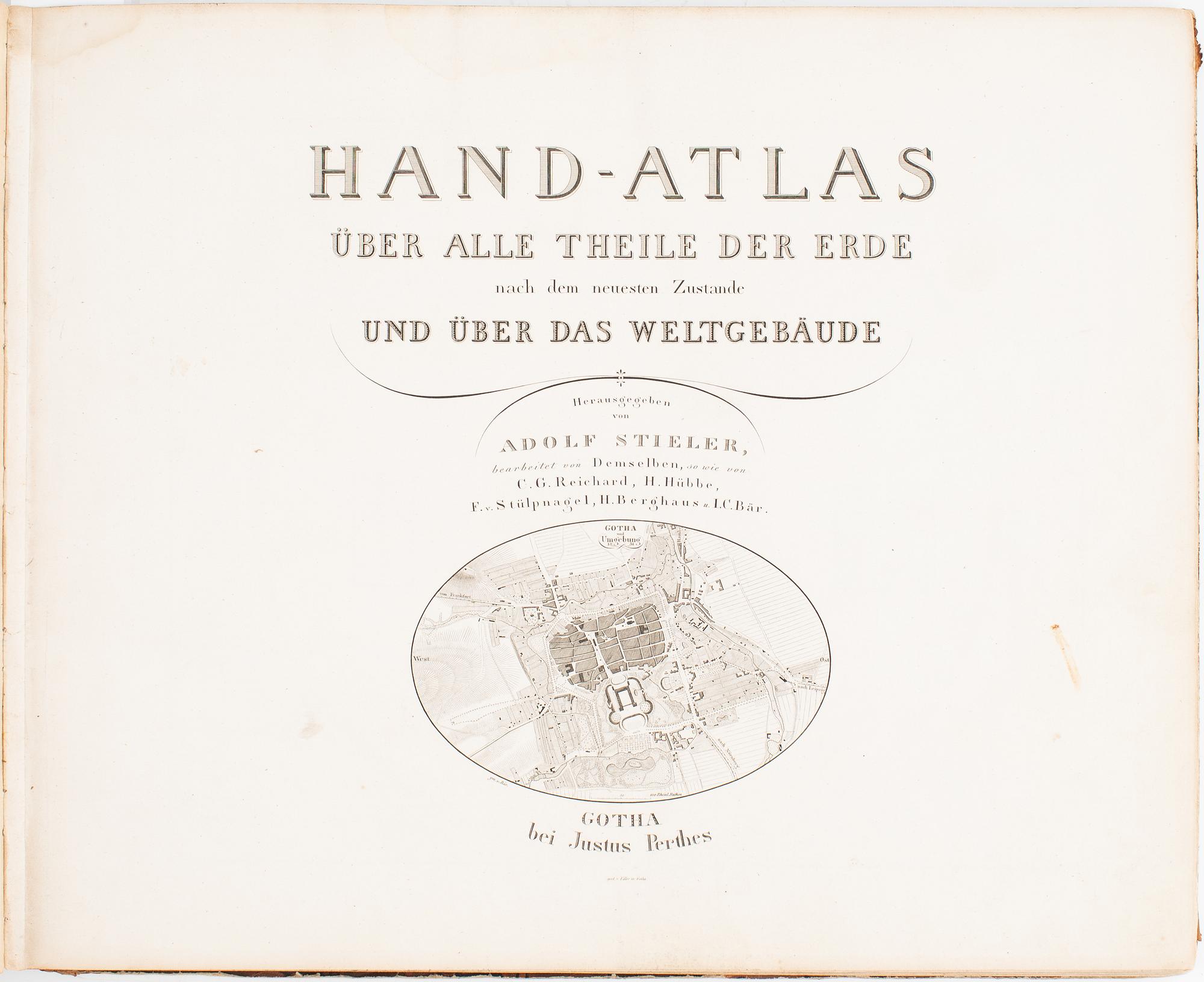
Hand-Atlas über alle theile der Erde.
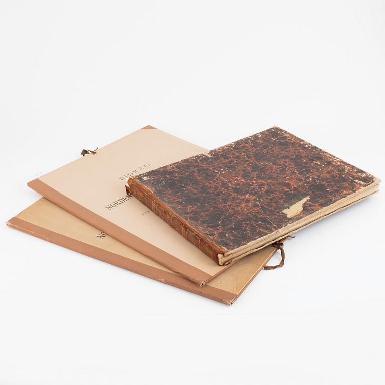
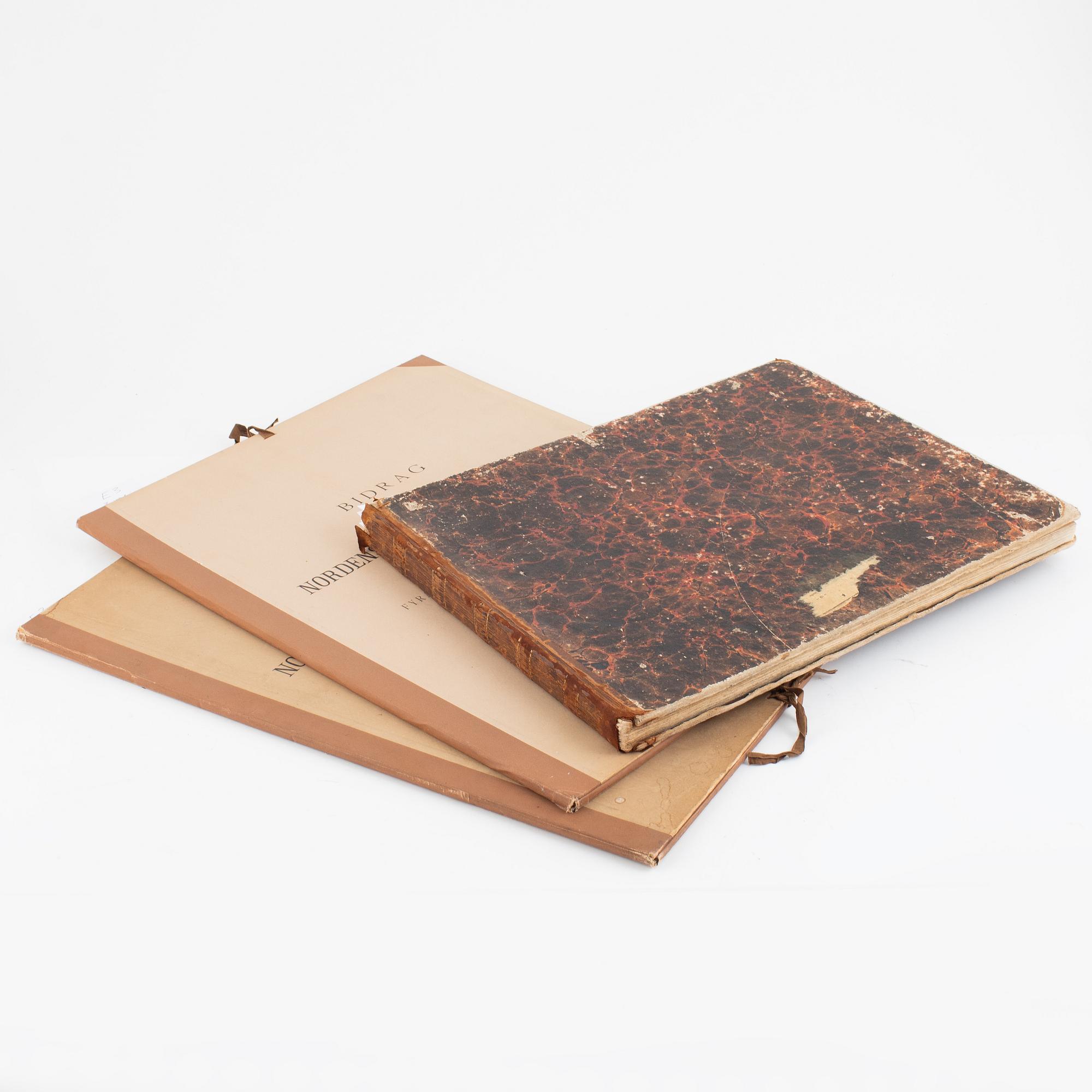
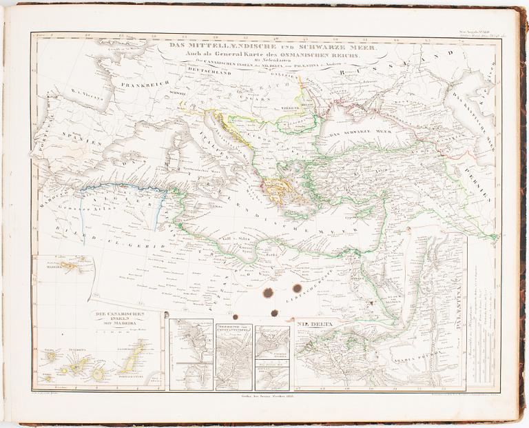
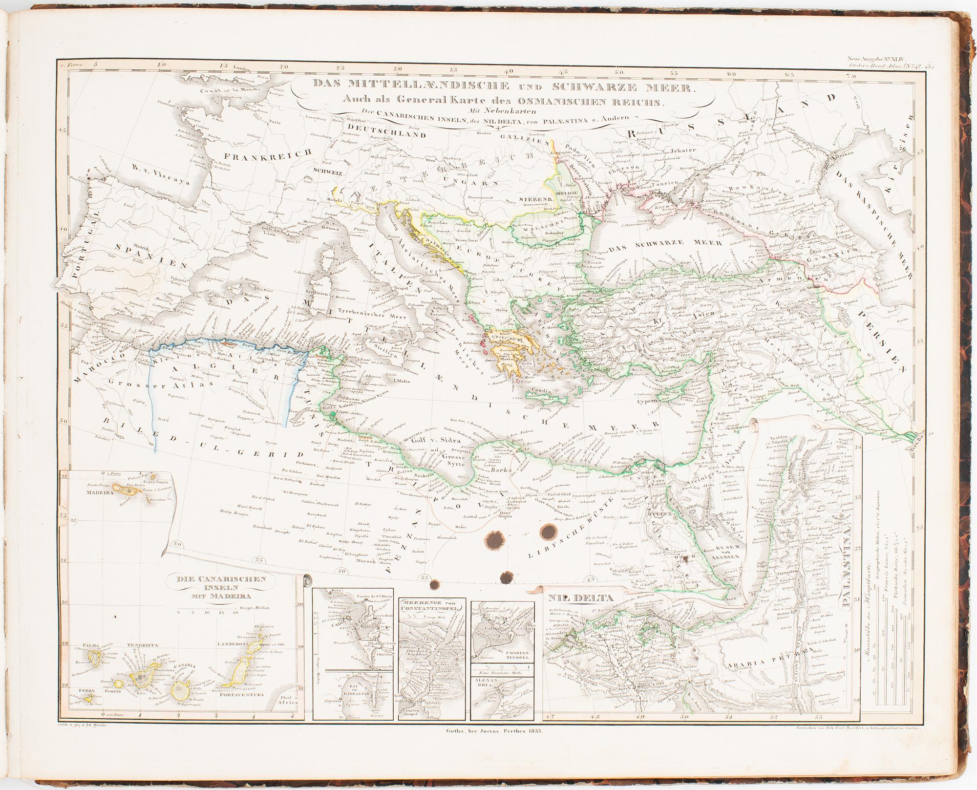
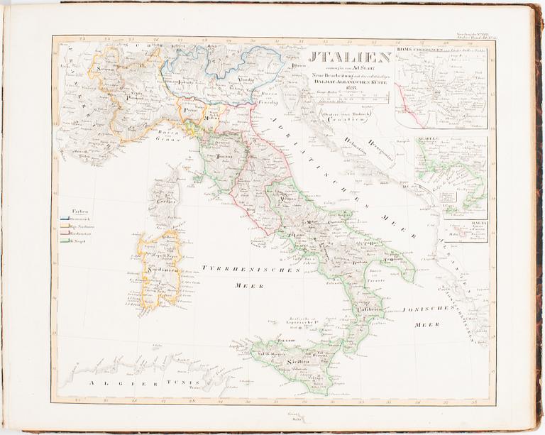
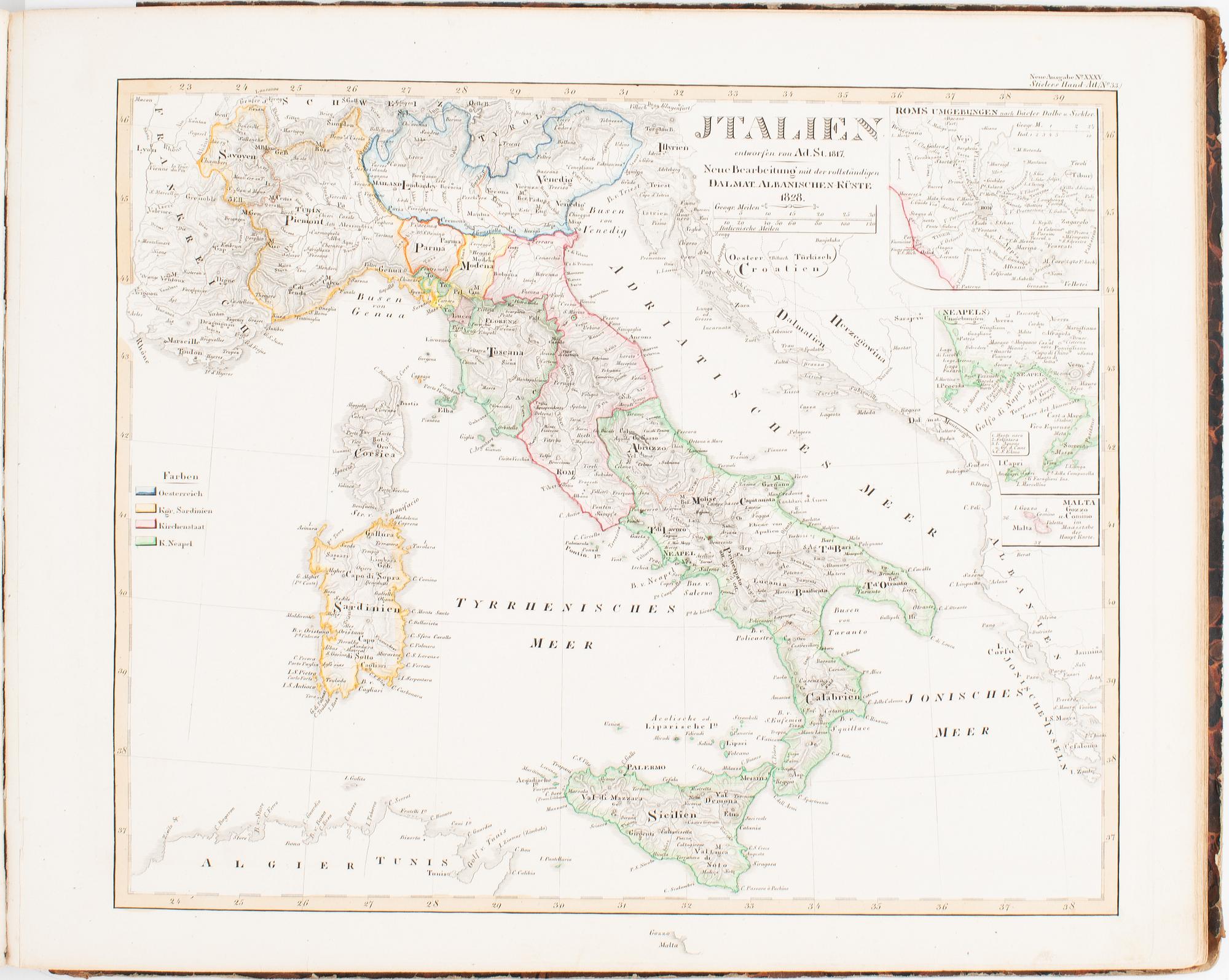
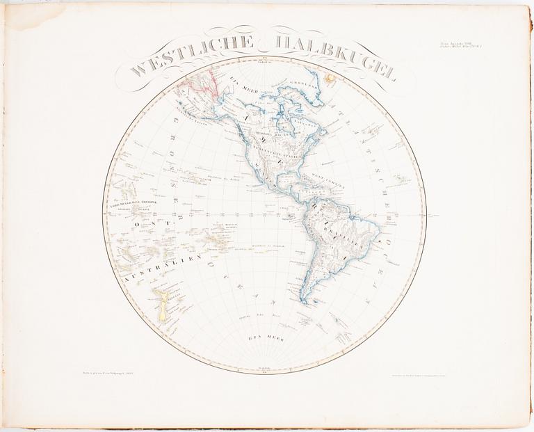
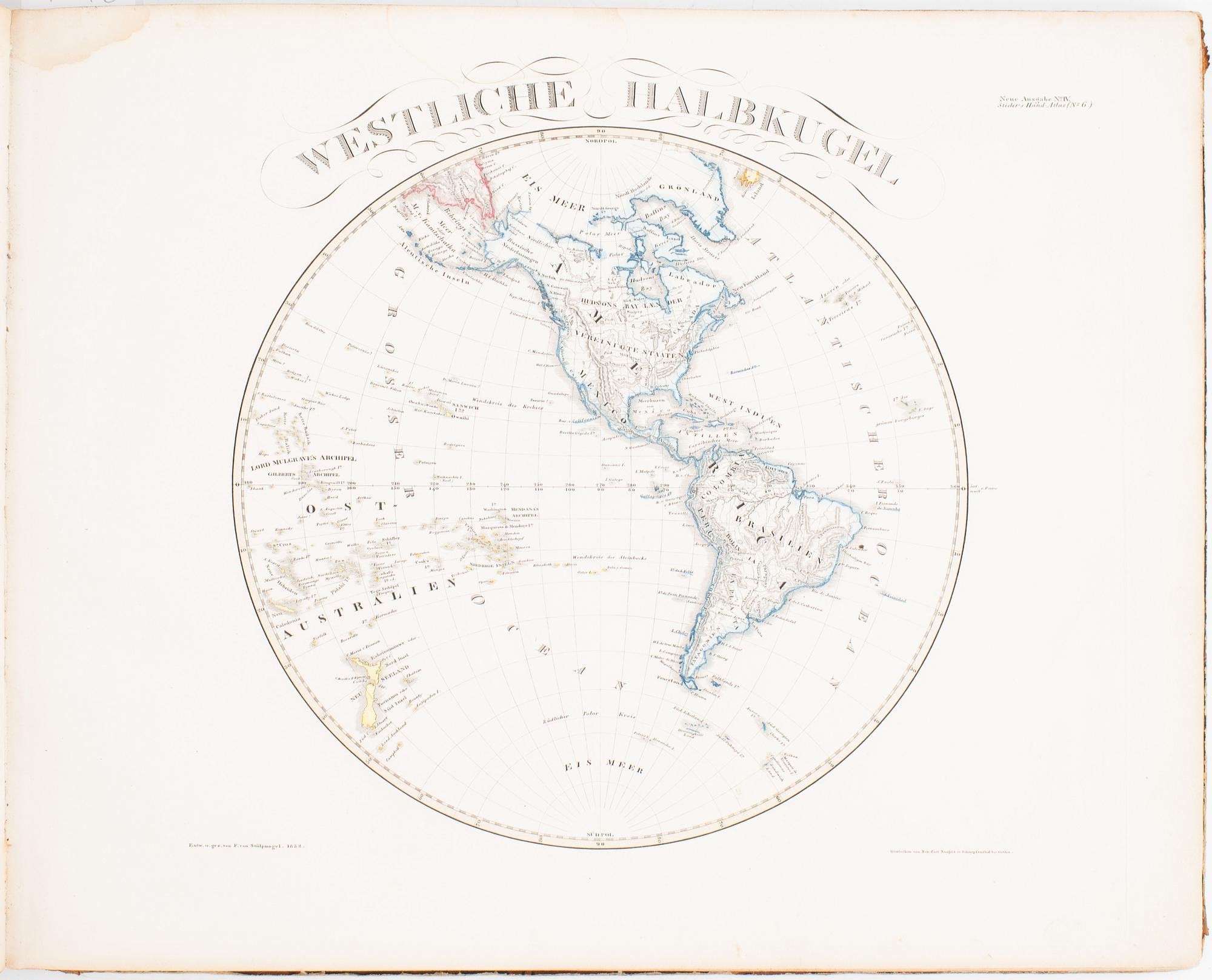
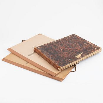
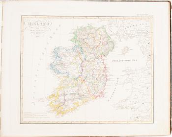
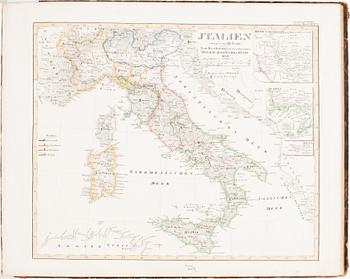
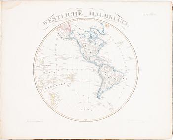
Gotha, Justus Perthes, 1834. Oblong folio. 37 x 45,5 cms. 63 engraved plates, coloured in outline (engr. title + 62 maps).
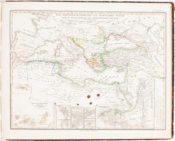
Very worn contemporary leather-backed boards, a few faint marginal dampstains in the beginning, slightly darker in upper inner corner of first few maps, small round stain to plate 2 (The Planetary System) also very faintly visible on the following plate, four small ink blotches to plate 44 (Mediterranean and Black Sea).
(Together with:)
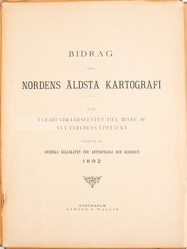
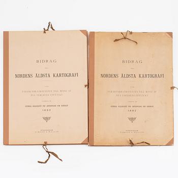
A. E. Nordenskiöld:
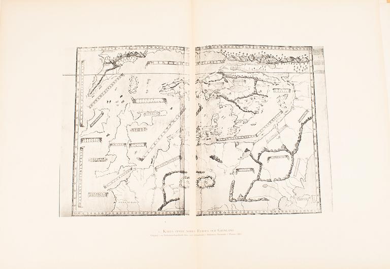
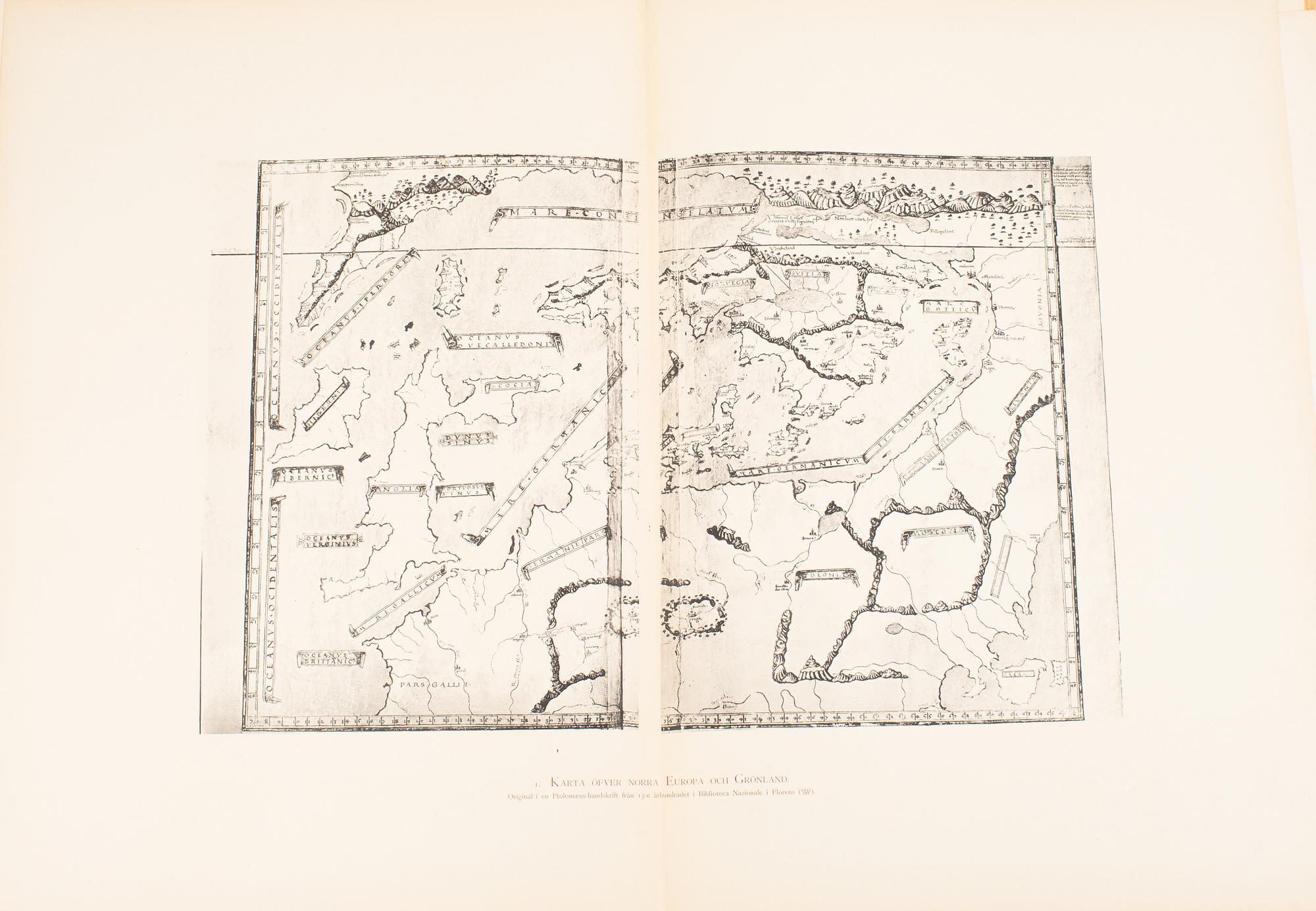
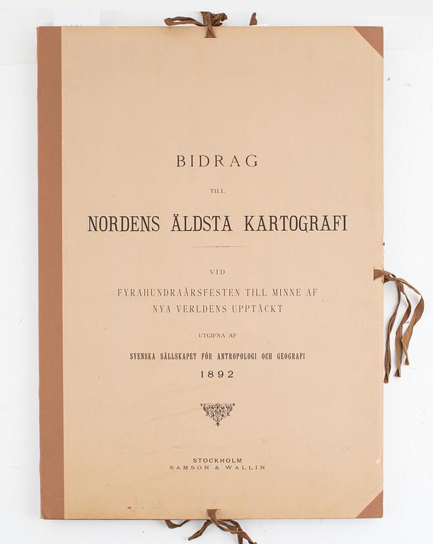
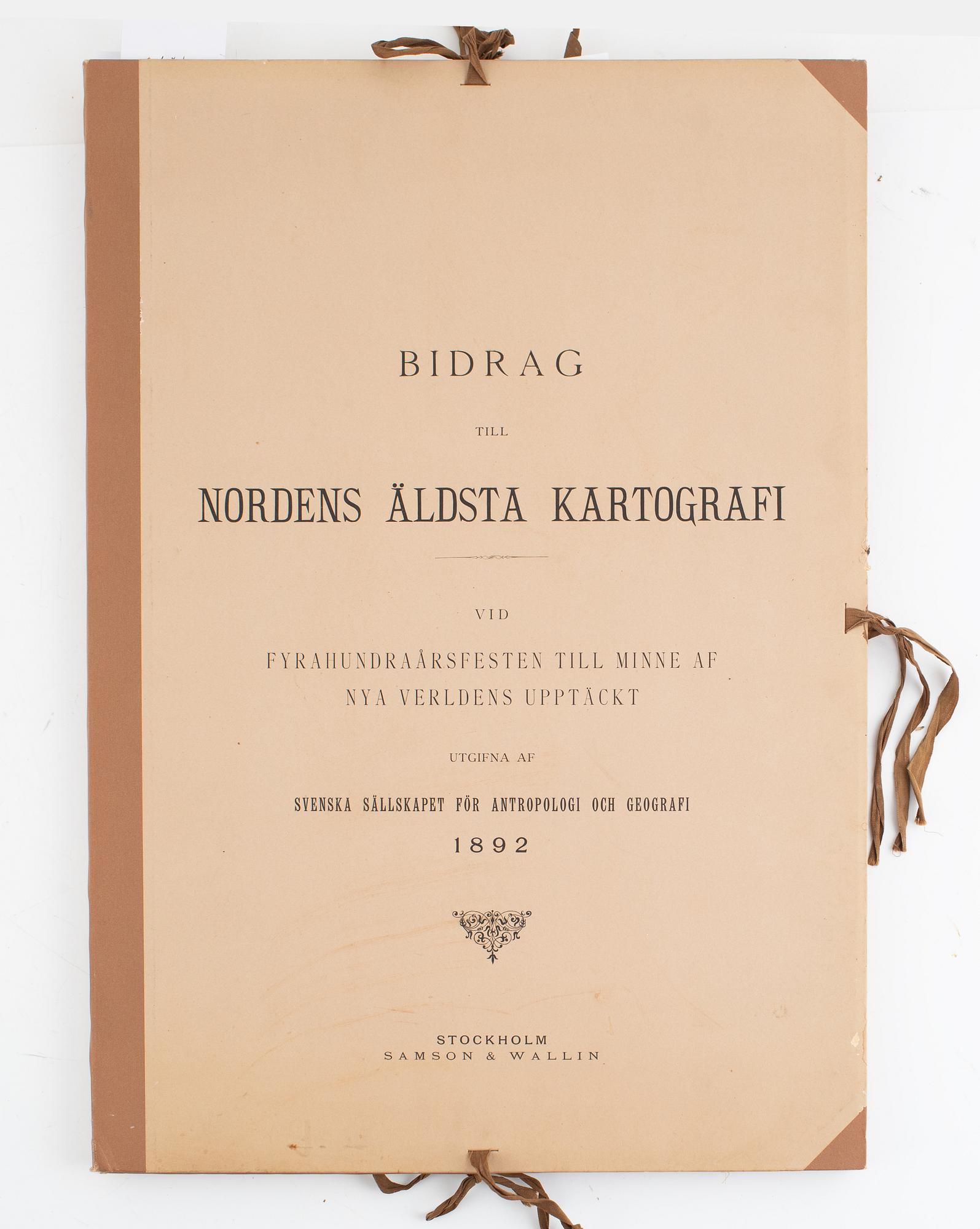
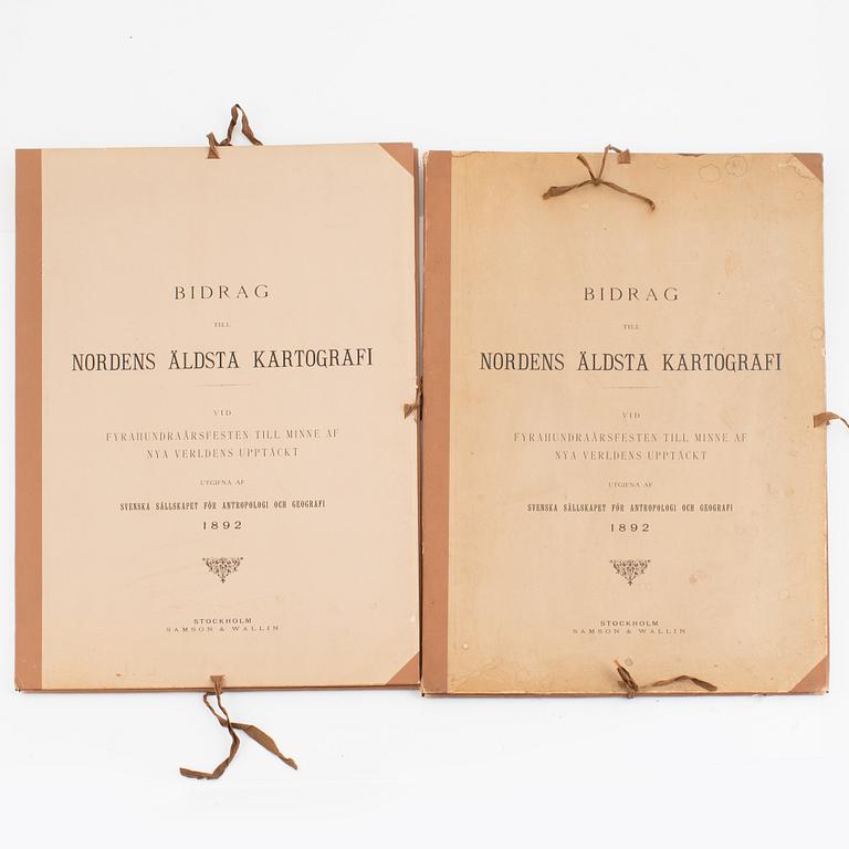
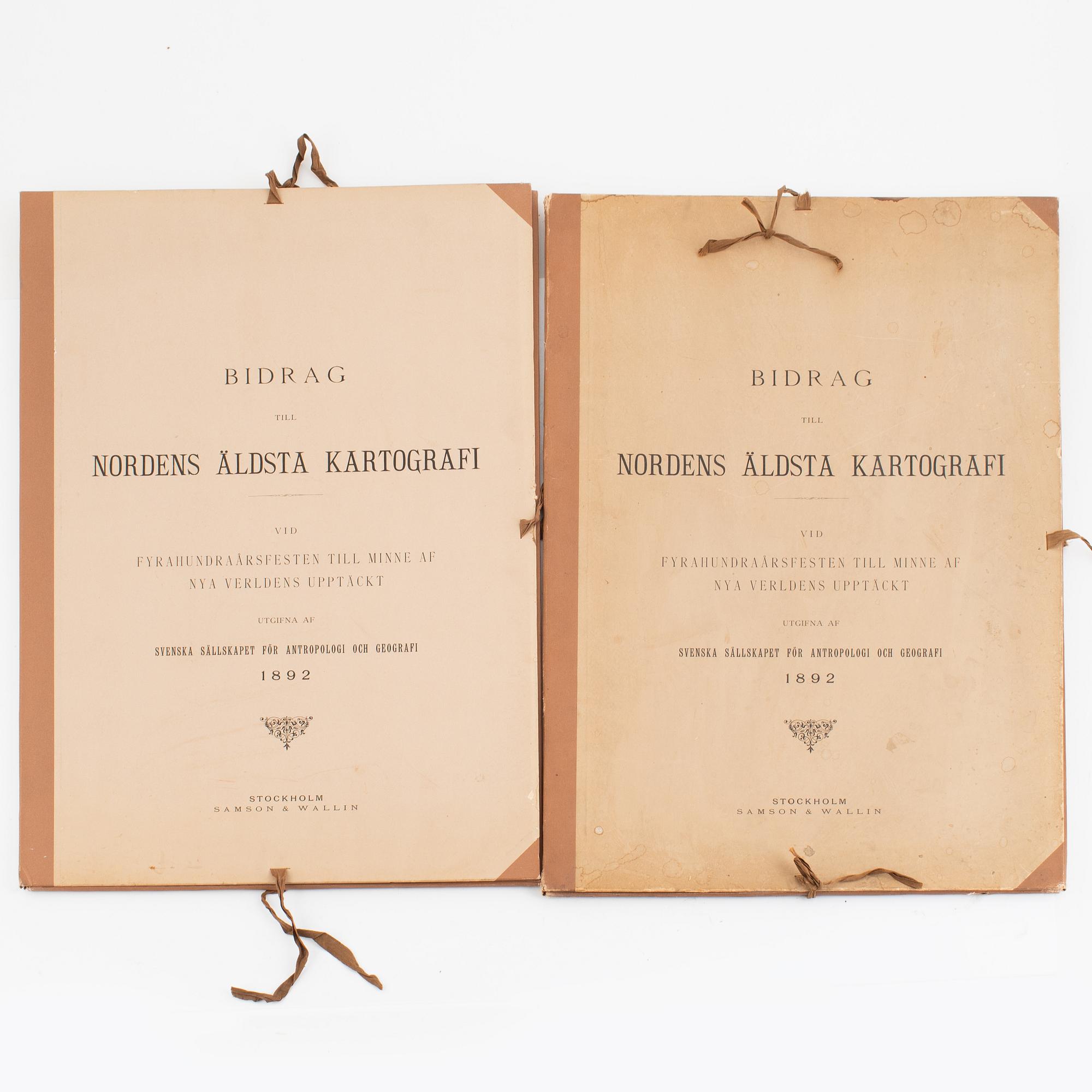
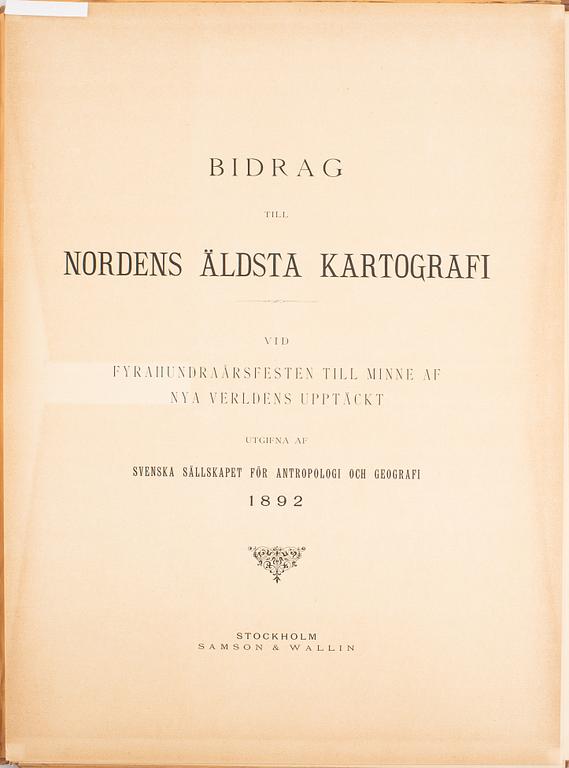
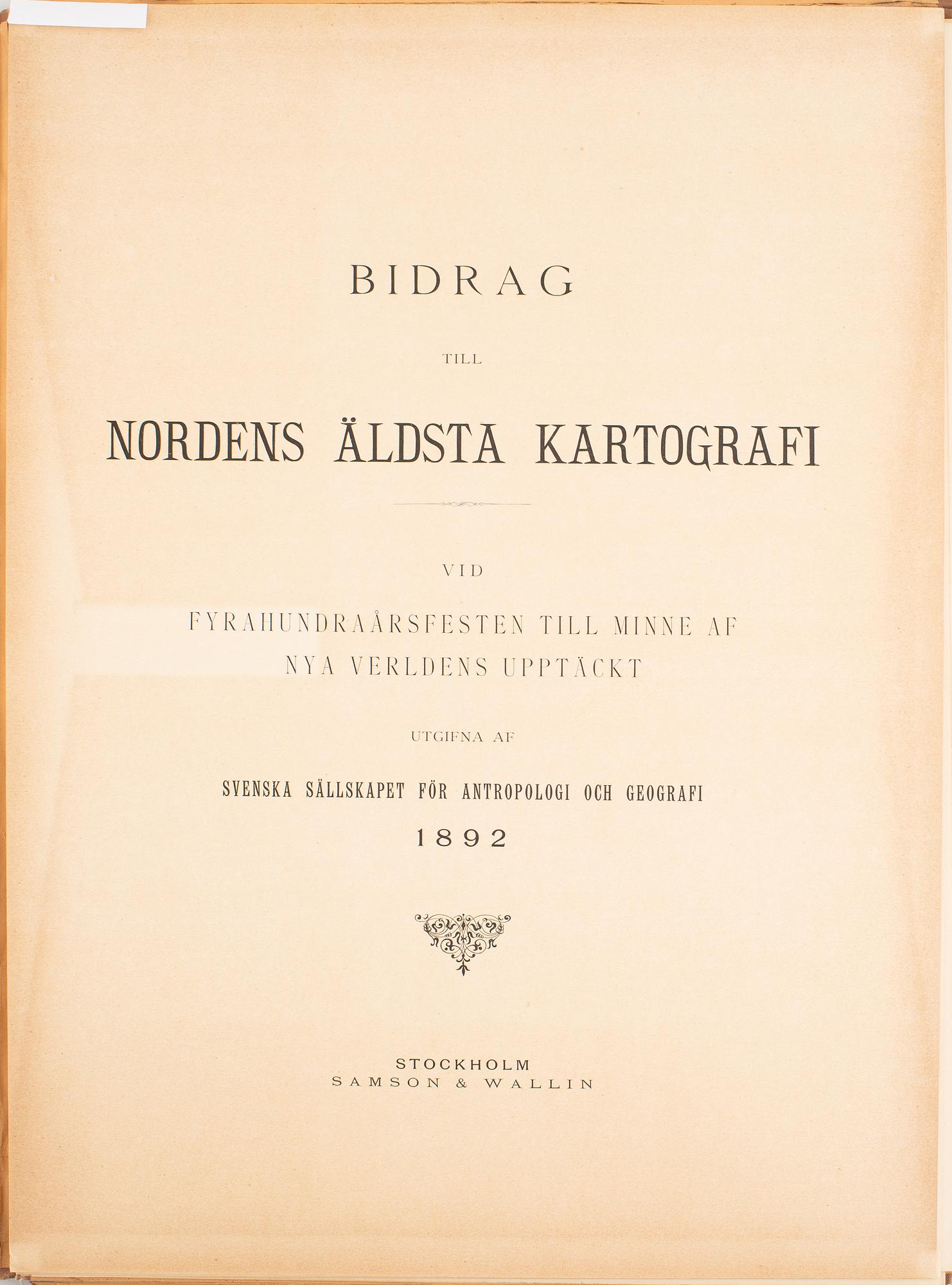
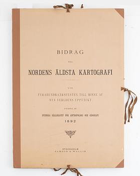
Bidrag till Nordens äldsta kartografi. Vid fyrahundraårsfesten till minne af nya verldens upptäckt utgifna af Svenska sällskapet för antropologi och geografi.
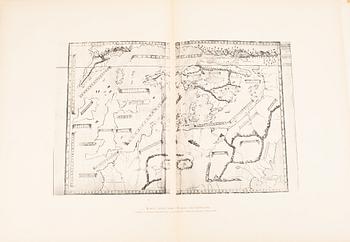
Stockholm, Samson & Wallin, 1892. Large folio. 57 x 40 cms. 9 map facsimile plates (several double-page) + 3 leaves of text (title, colophon, foreword, contents).
2 copies in original portfolios with flaps, nos 85 & 93 of a total edition of just 100. No 93 fine apart from uneven discoloration of title, no 85 worn with marginal creasing of several plates.
.
Others have also viewed