With 169 engraved Sea Charts
Auction ended
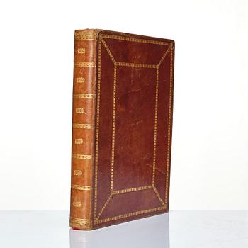
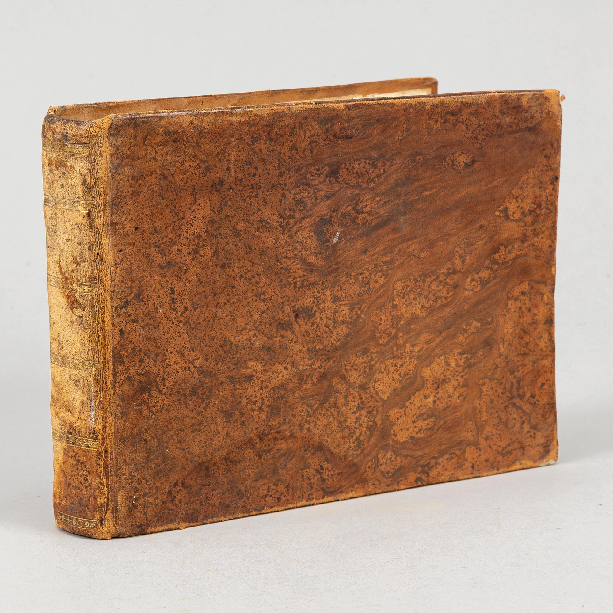
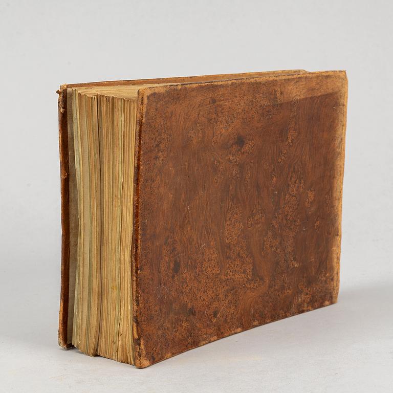
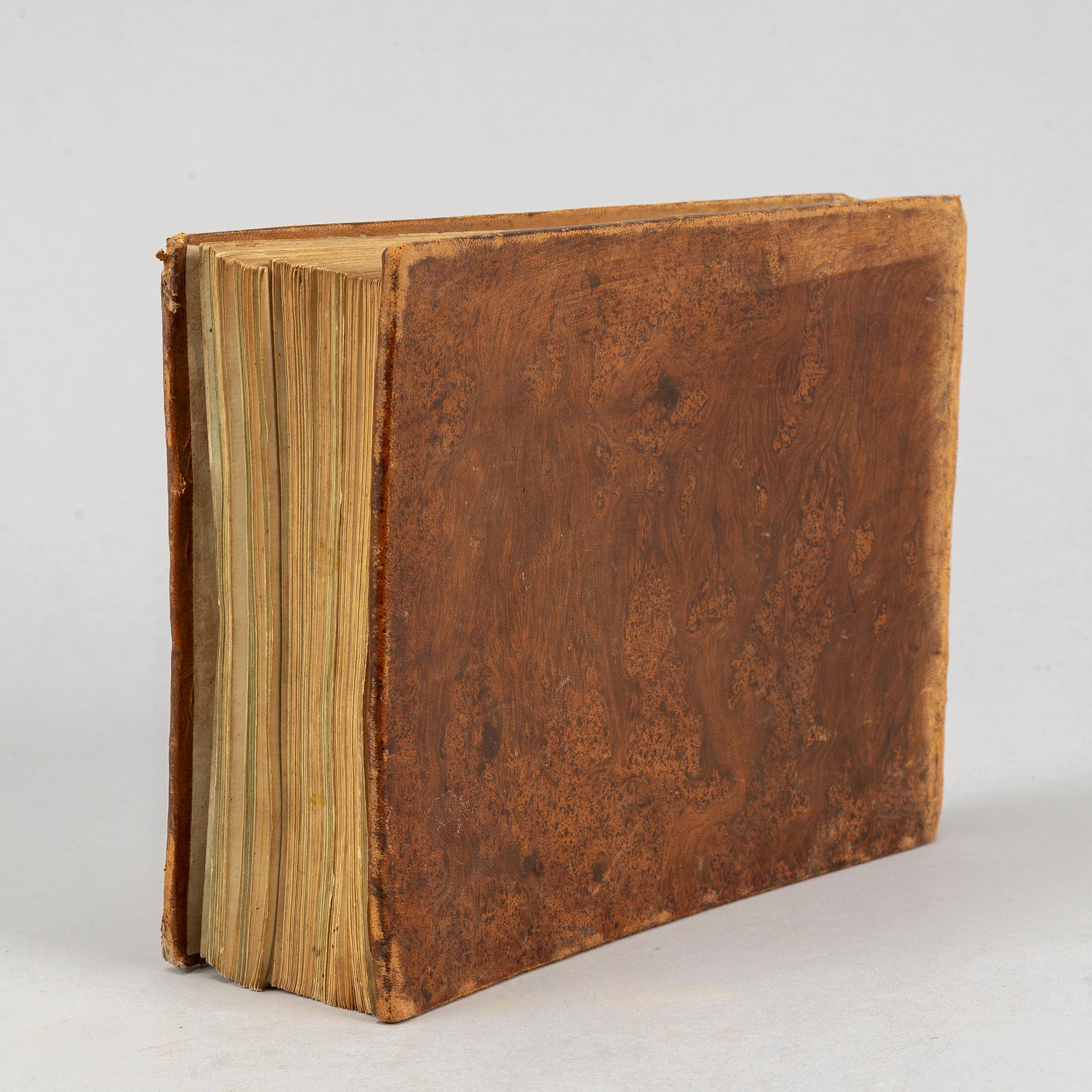
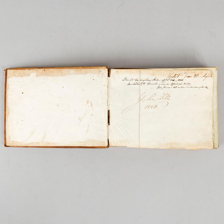
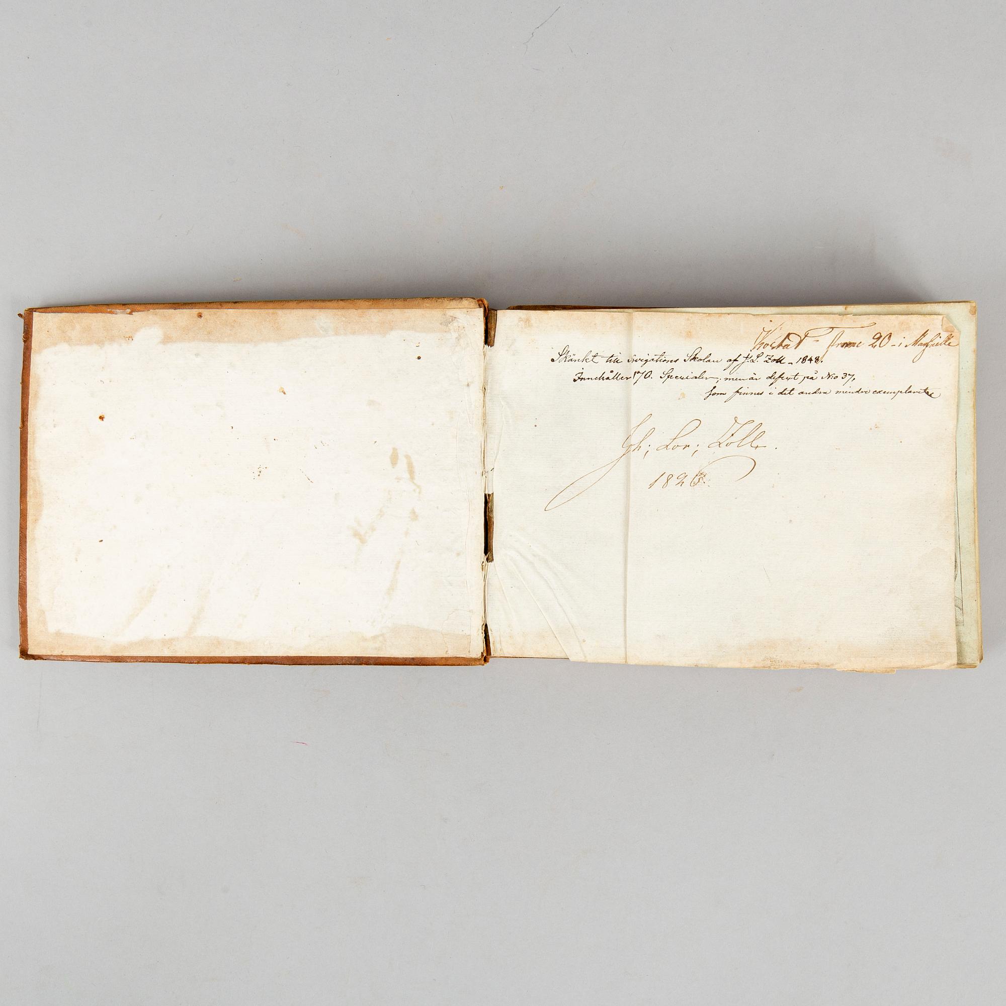
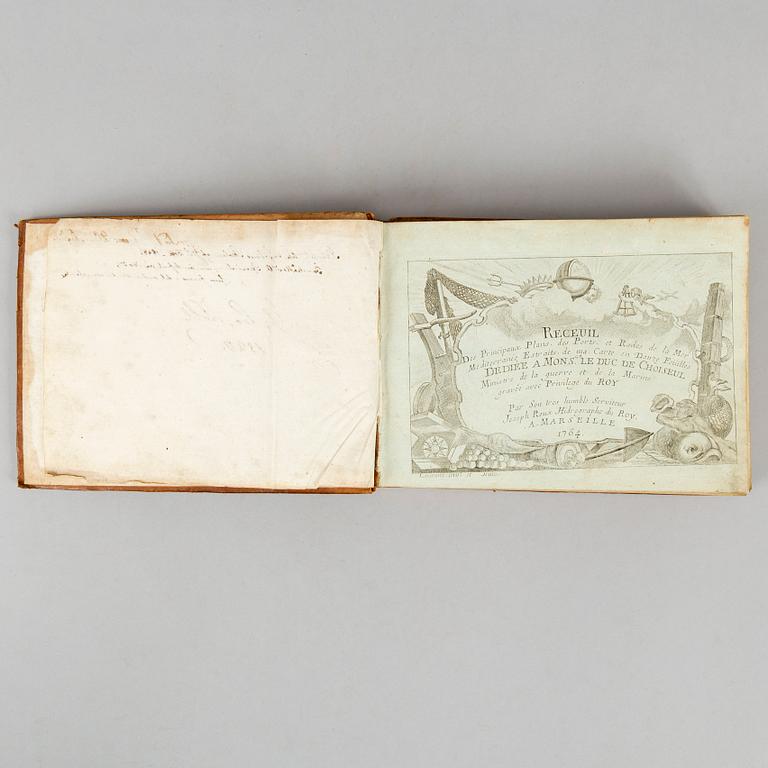
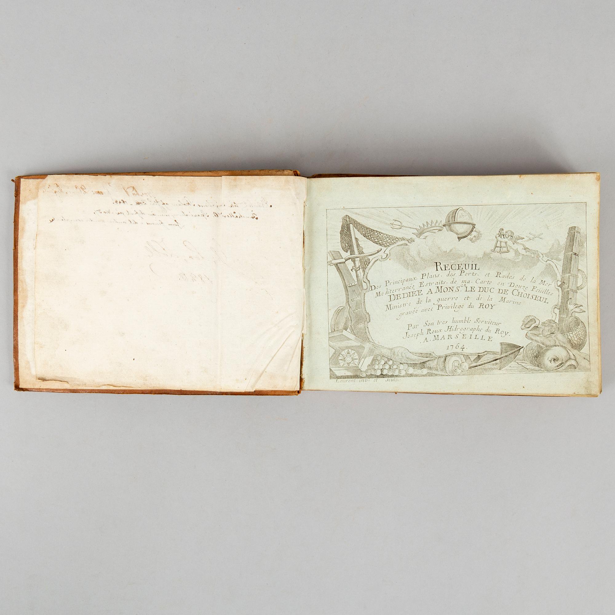
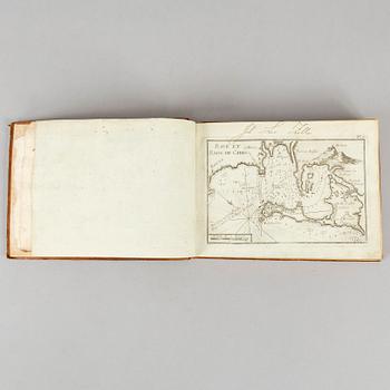
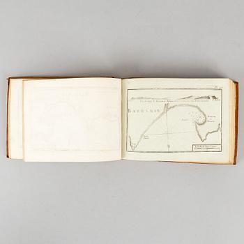
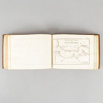
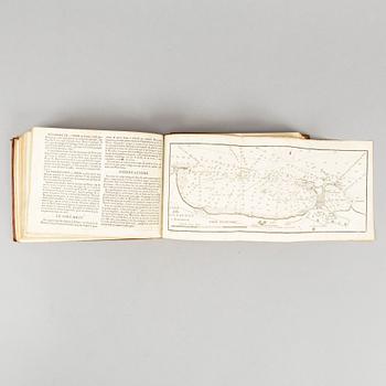
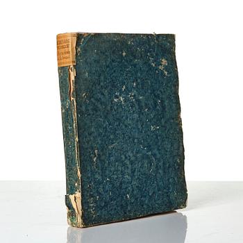
Joseph Roux:
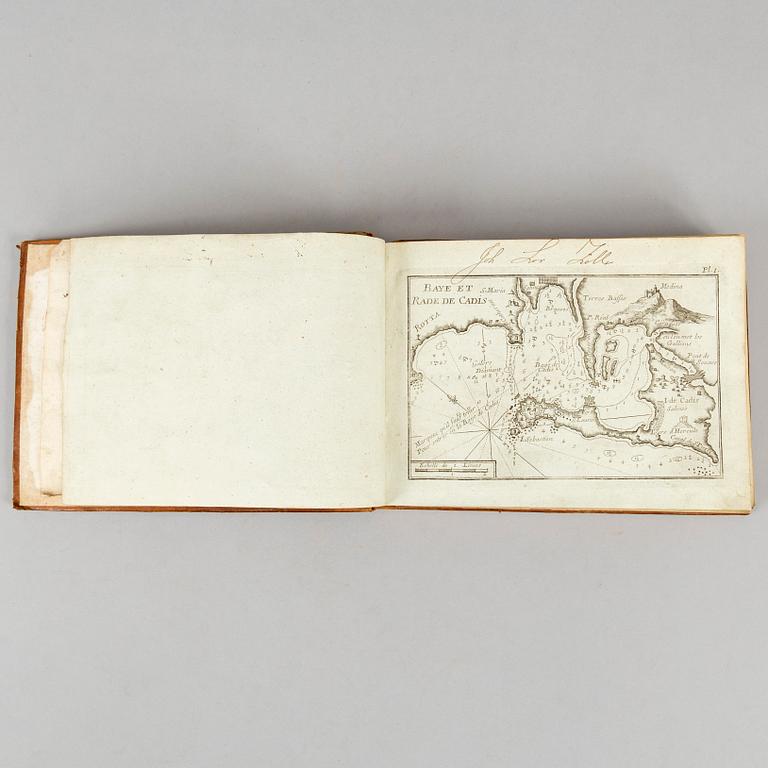
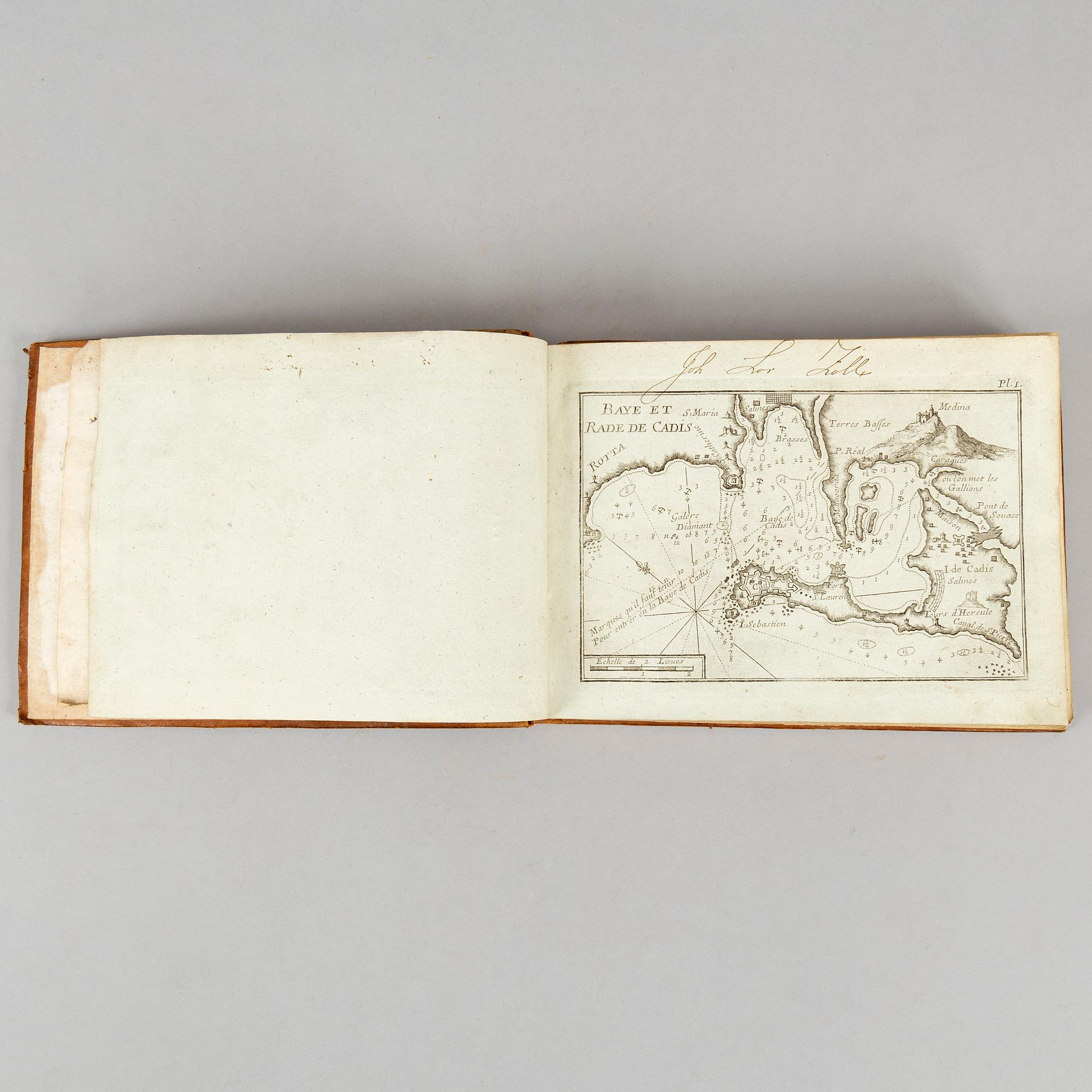
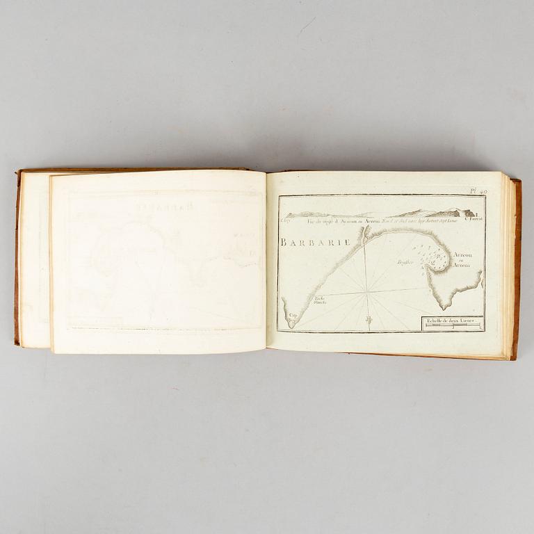
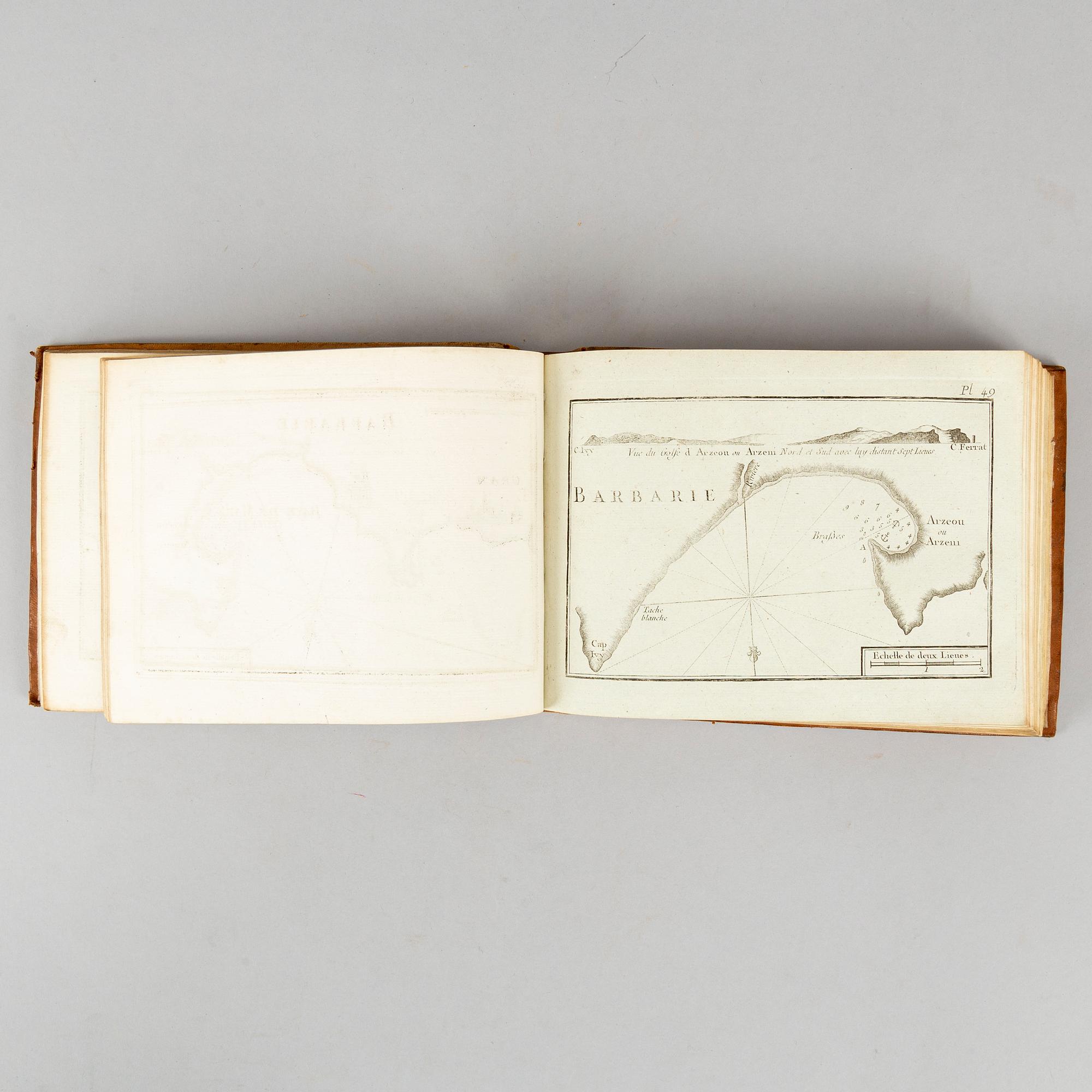
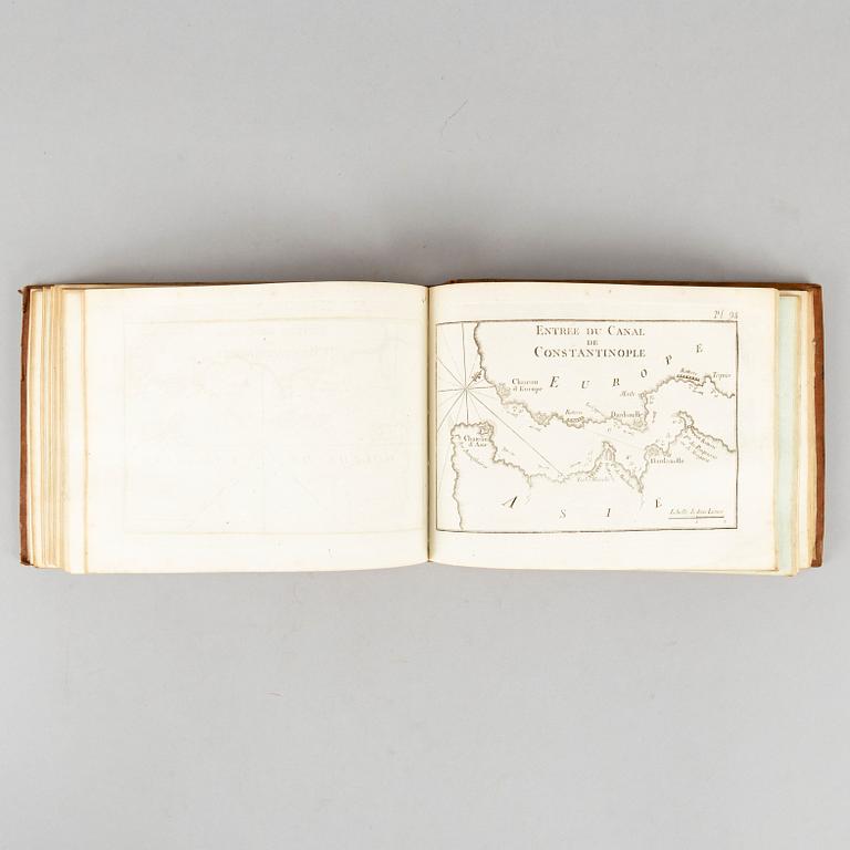
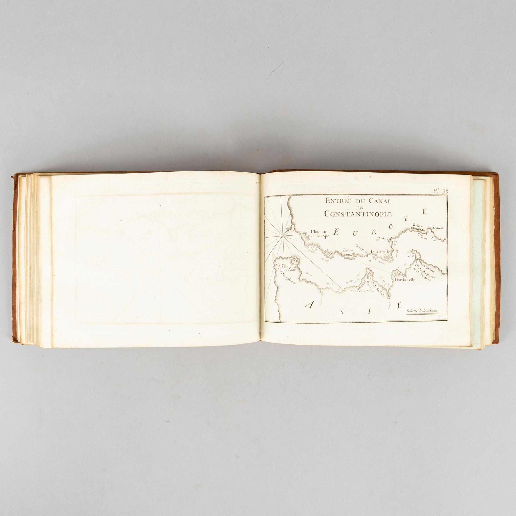
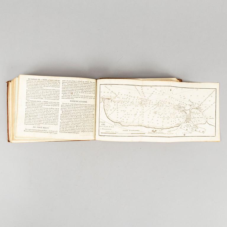
Recueil des Principaux Plans des Ports et Rades de la Mer Méditerranée, estraits de ma carte en douze feuilles.
”Marseille 1764”, but an undated, substantially enlarged edition, possibly c. 1780. Oblong 4to. (17,2 x 23 cms.) Engraved title + 169 (of 170) engraved maps numbered 1-36, 38-119, [120:] ”Ports d’Alexandrie”, folding, with printed text leaf, + 121-170, + letterpress index leaf, ”Table des [170] plans des ports contenus dans ce recueil”.
Contemporary tree calf, worn, annotations to front flyleaf, endleaves and final printed text leaf (Table) creased, joints weak. Lacks map 37 (”Bouche de Boniface”, the Strait of Bonifacio between Corsica and Sardinia). The original 1764 edition was limited to 121 charts.
.


Others have also viewed
1725647
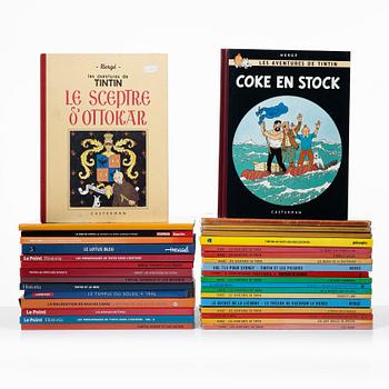
Tintin albums,
34 pcs, French, various publication years, including L'ile Noire 1947.
No bids
1d 4h
Estimate
2 500 SEK

1723522
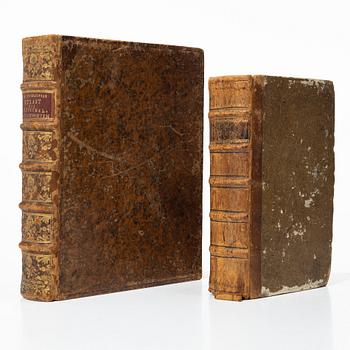
Queen Christina's collections of antique cameos and engraved gemstones,
1751-52.
No bids
5d 4h
Estimate
16 000 SEK
1723521
Queen Christina's collections of antique cameos and engraved gemstones,
1747.
No bids
5d 4h
Estimate
8 000 SEK
1710678
Albert Krantz,
book, "Rerum Germanicarum ...", Frankfurt am Main 1575.
Current bid
500 SEK
3d 6h
Estimate
4 000 SEK