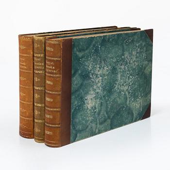
John Senex (1678-1740):
Atlas of the World.
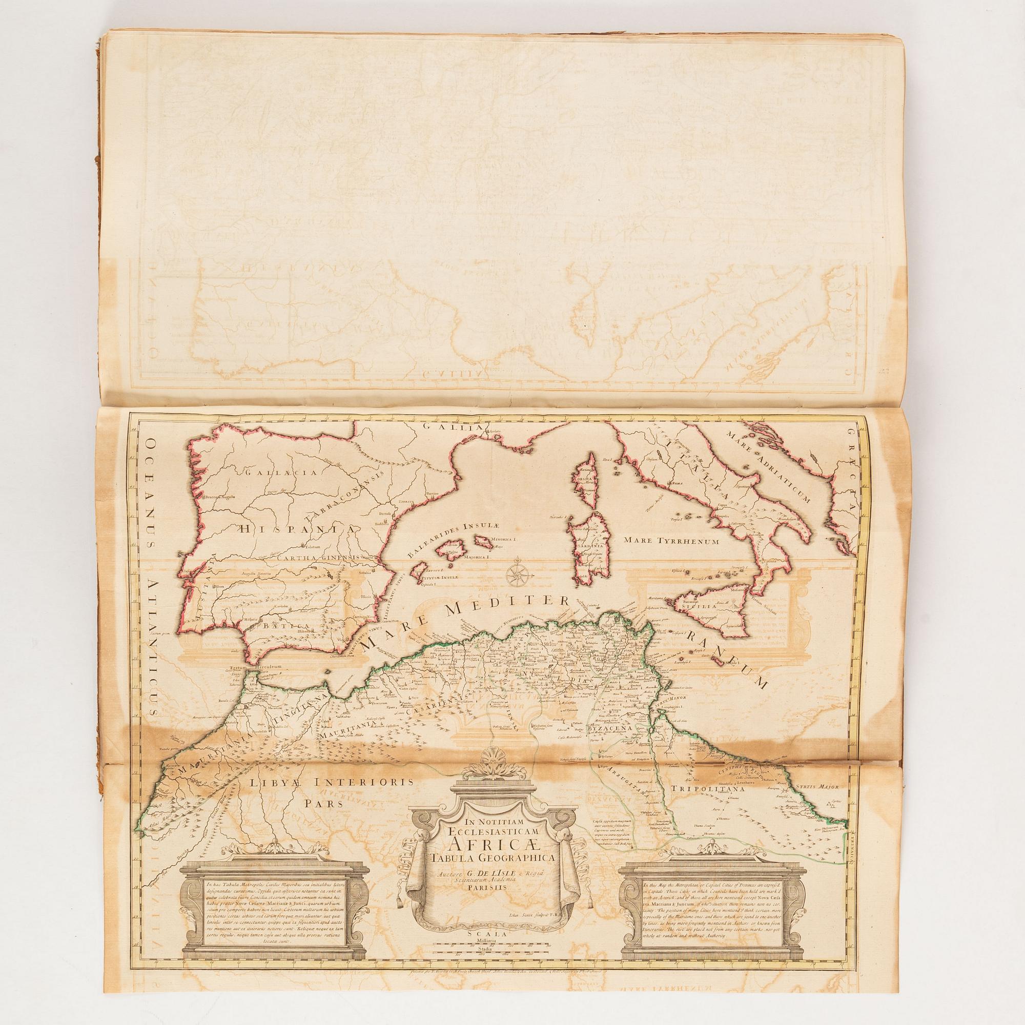
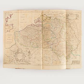
32 engraved maps, early 1700s, different sizes folded and bound into a tall volume (69 x 33 cms). Contemporary speckled calf (very worn, weak joints). No annotations, stamps or bookmarks. All maps but ”Scheme of the Solar system” coloured in outline. Some slight foxing and browning, several maps with image offsetting. With receipt from ”Baynton-Williams Old Maps and Prints”, dated February 11, 1975 (480 Pounds).
Contains the following maps:
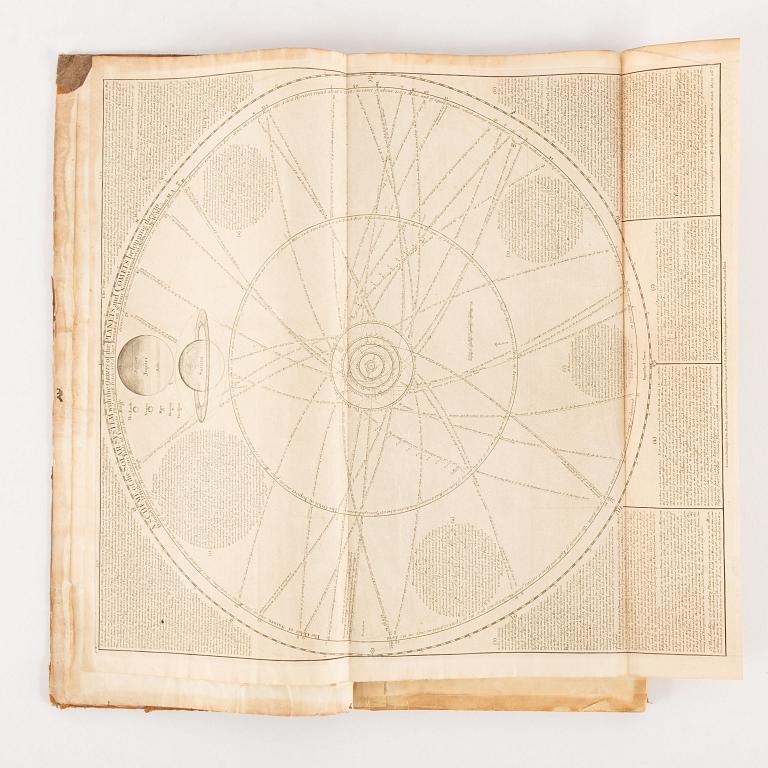
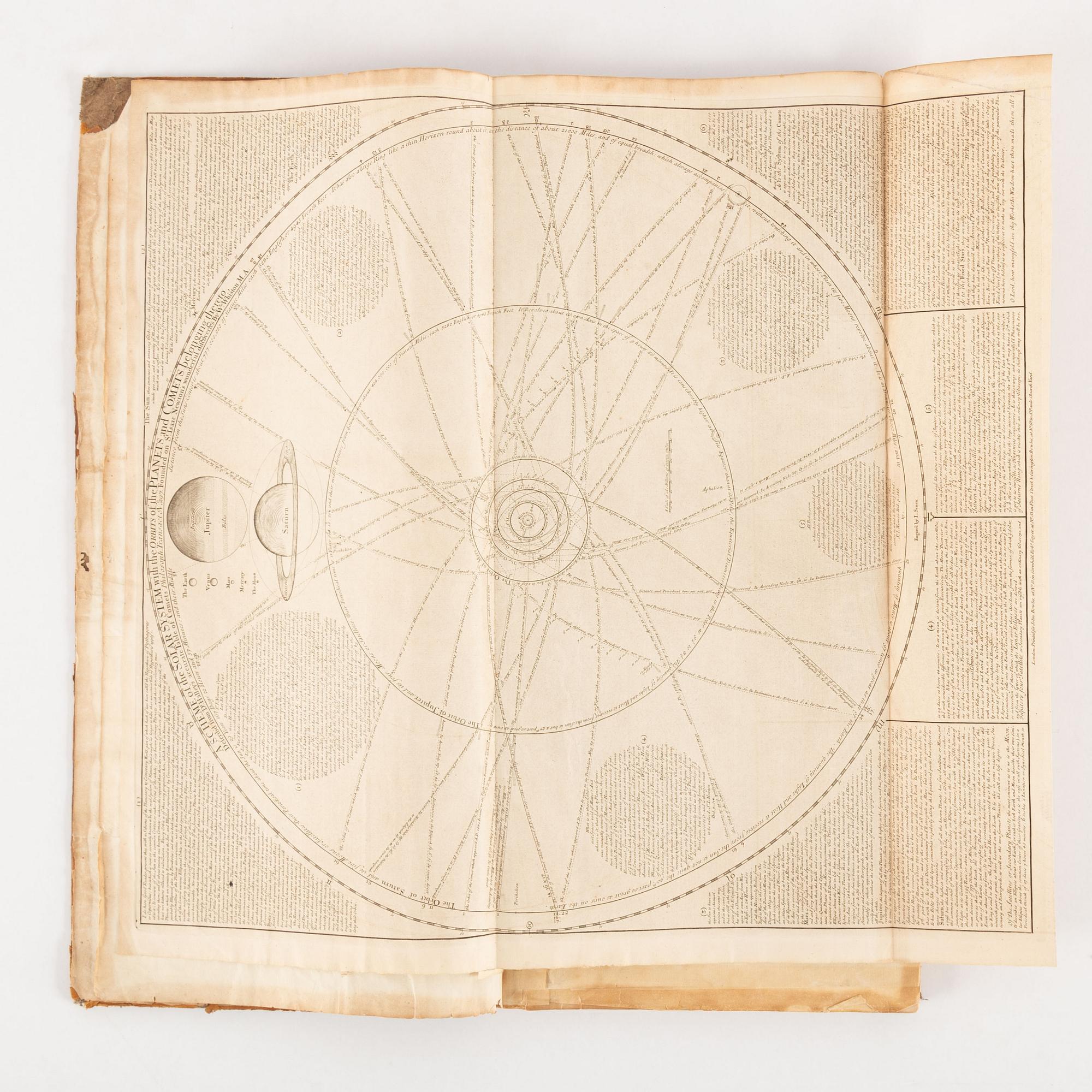
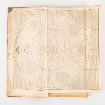
1) A Scheme of the Solar system with the orbits of the planets and comets belonging thereto
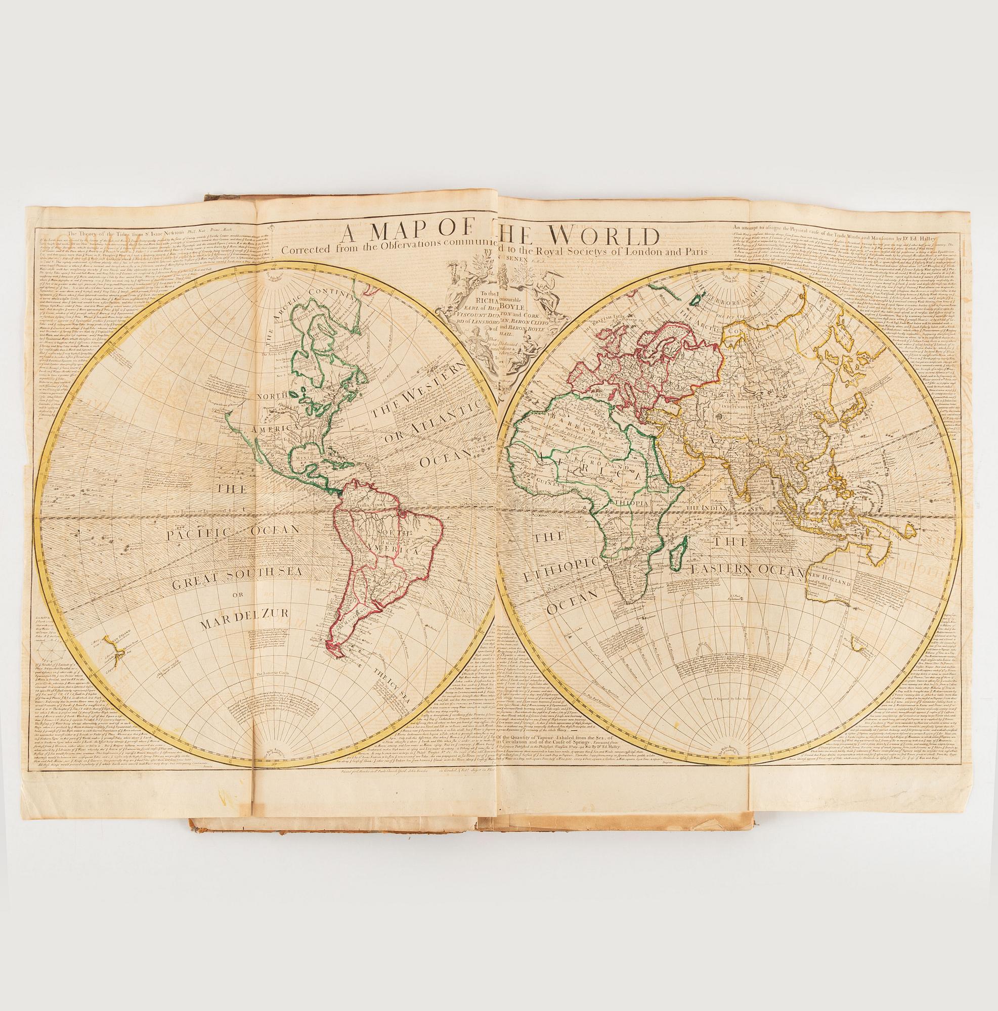
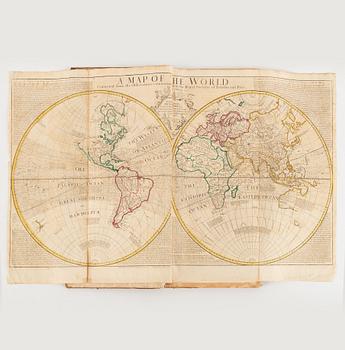
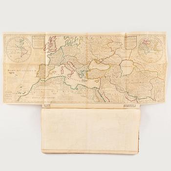
2) A Map of the World (2 tears along folds, edges creased)
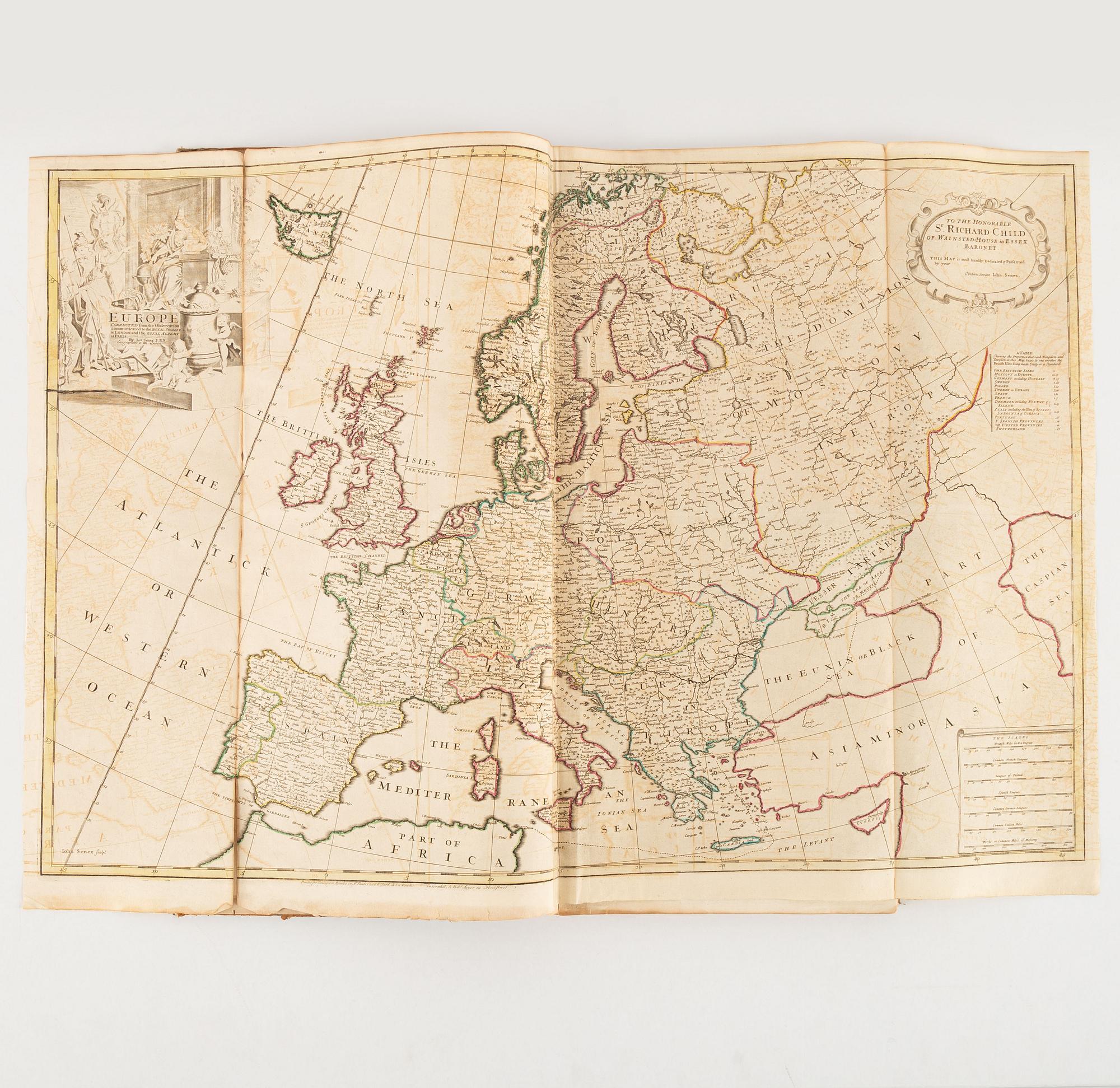
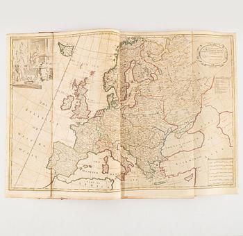
3) Europe Corrected from the observations communicated to the Royal Society at London and the Royal Academy at Paris (tears along folds, slight fraying)
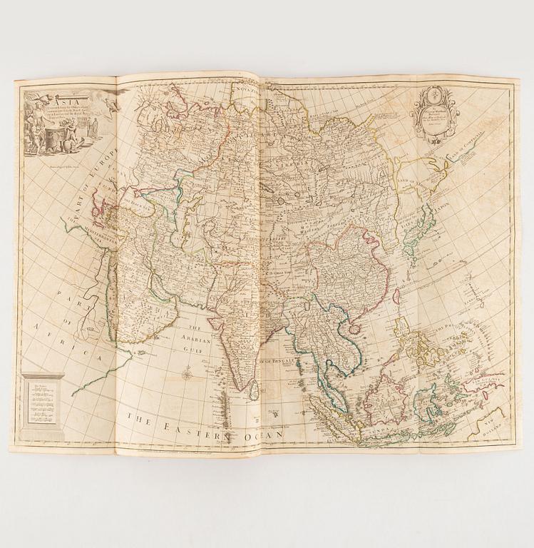
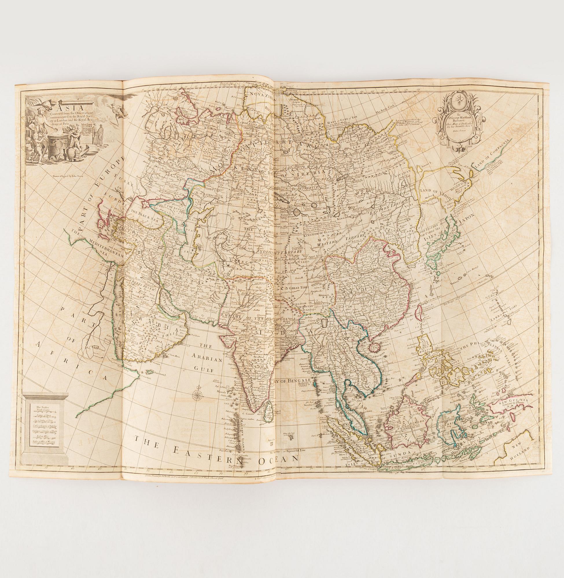
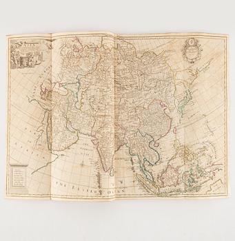
4) Asia Corrected from the observations communicated to the Royal Society at London and the Royal Academy at Paris
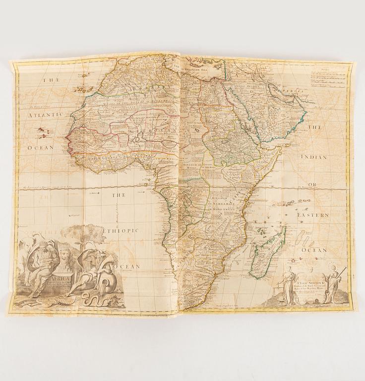
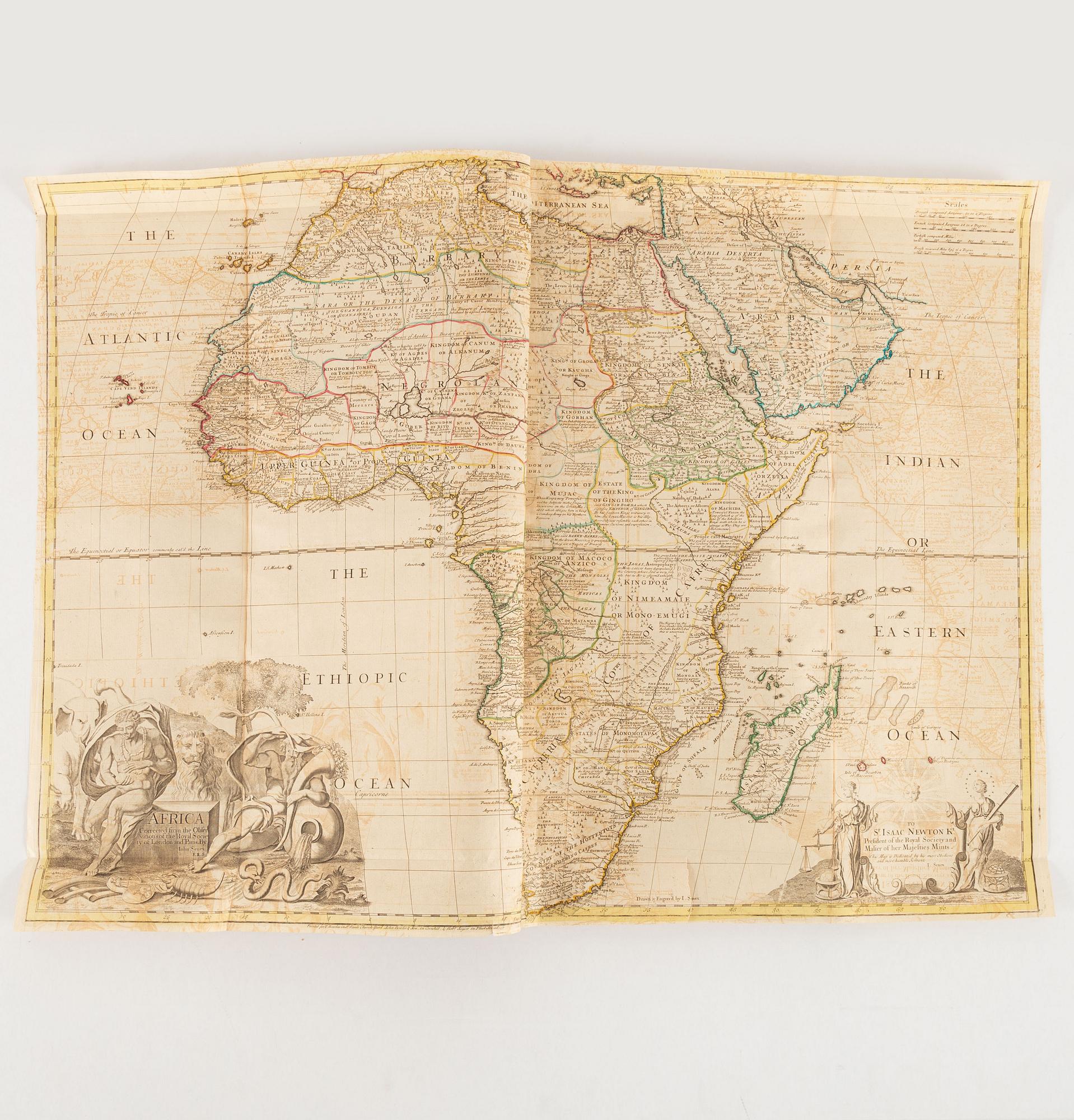
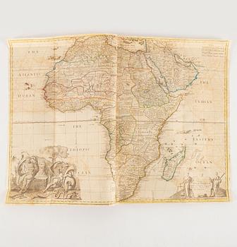
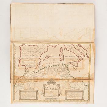
5) Africa Corrected from the observations of the Royal Society of London and Paris (a few tears)
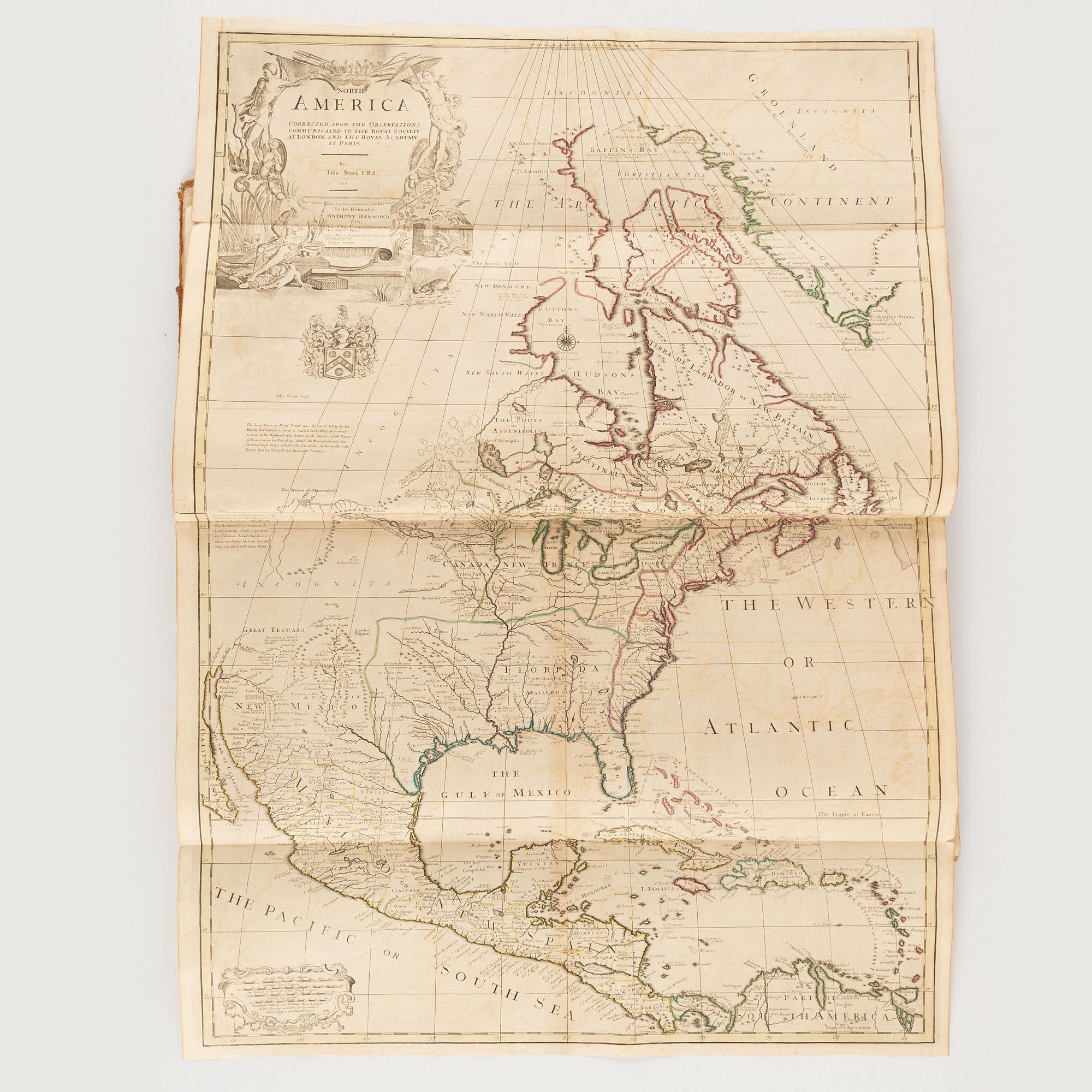
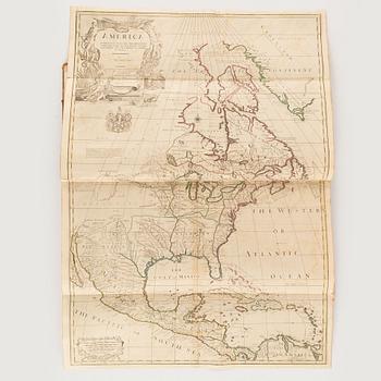
6) America Corrected from the observations communicated to the Royal Society at London and the Royal Academy at Paris […] 1710 (a few short tears along folds)
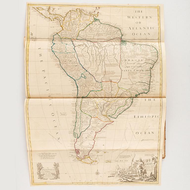
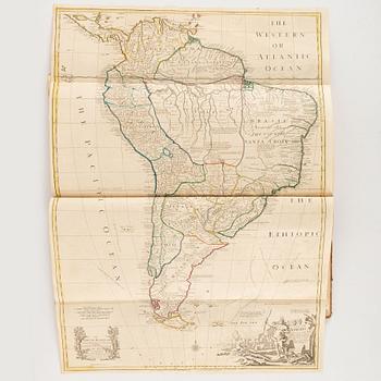
7) South America Corrected from the observations communicated to the Royal Society’s of London and Paris
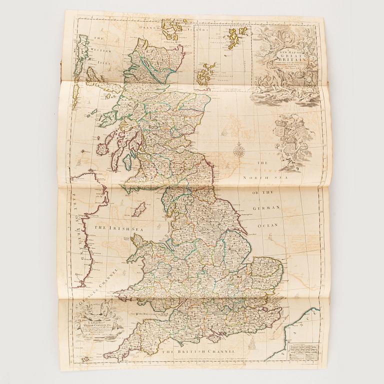
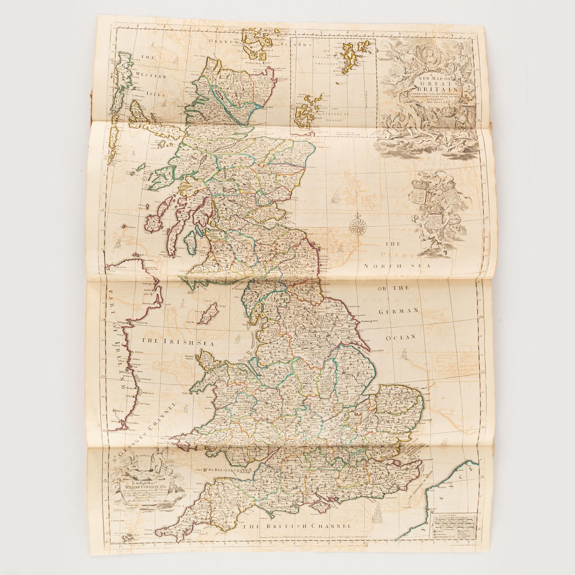
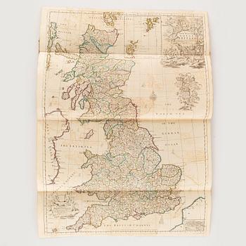
8) A New Map of Great Britain […] 1714
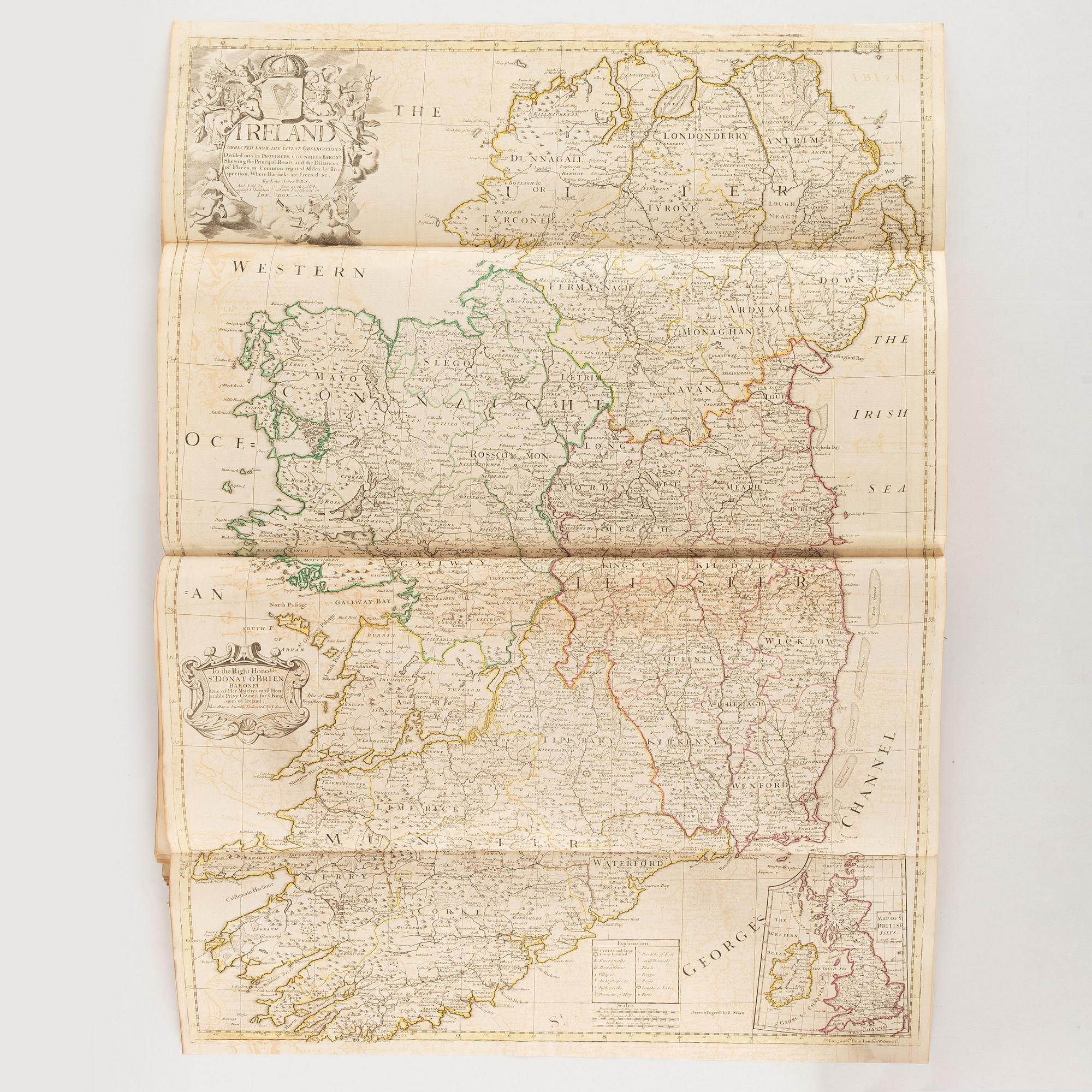
9) Ireland Corrected from the latest observations […] 1712
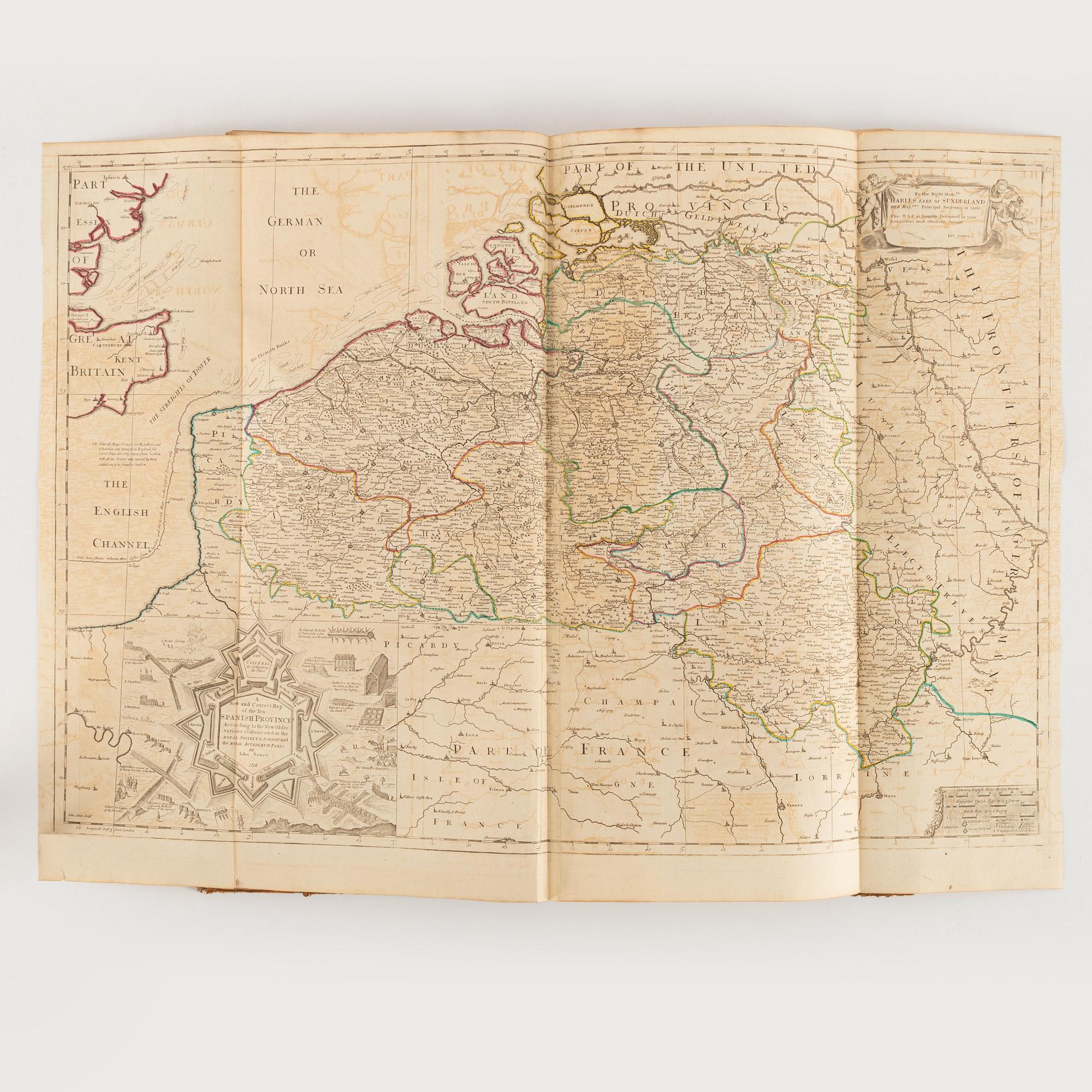
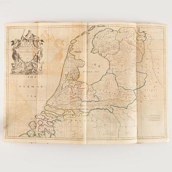
10) The VII United Provinces […] 1709
11) A New and Correct Map of the Ten Spanish Provinces […] 1714
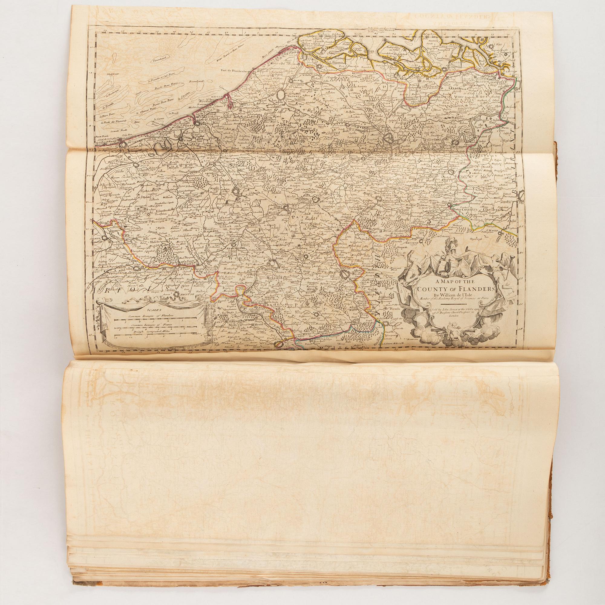
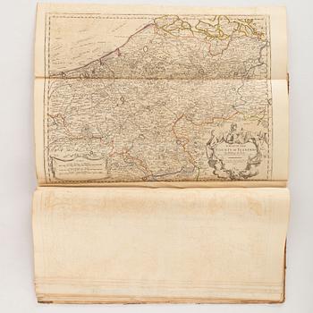
12) A Map of the County of Flanders
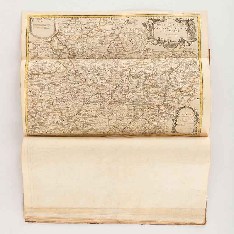
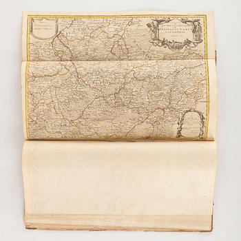
13) A New Map of the Provinces of Hainault, Namur and Cambray
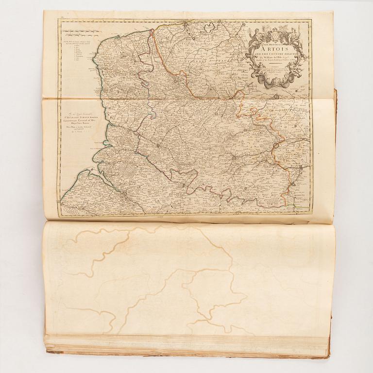
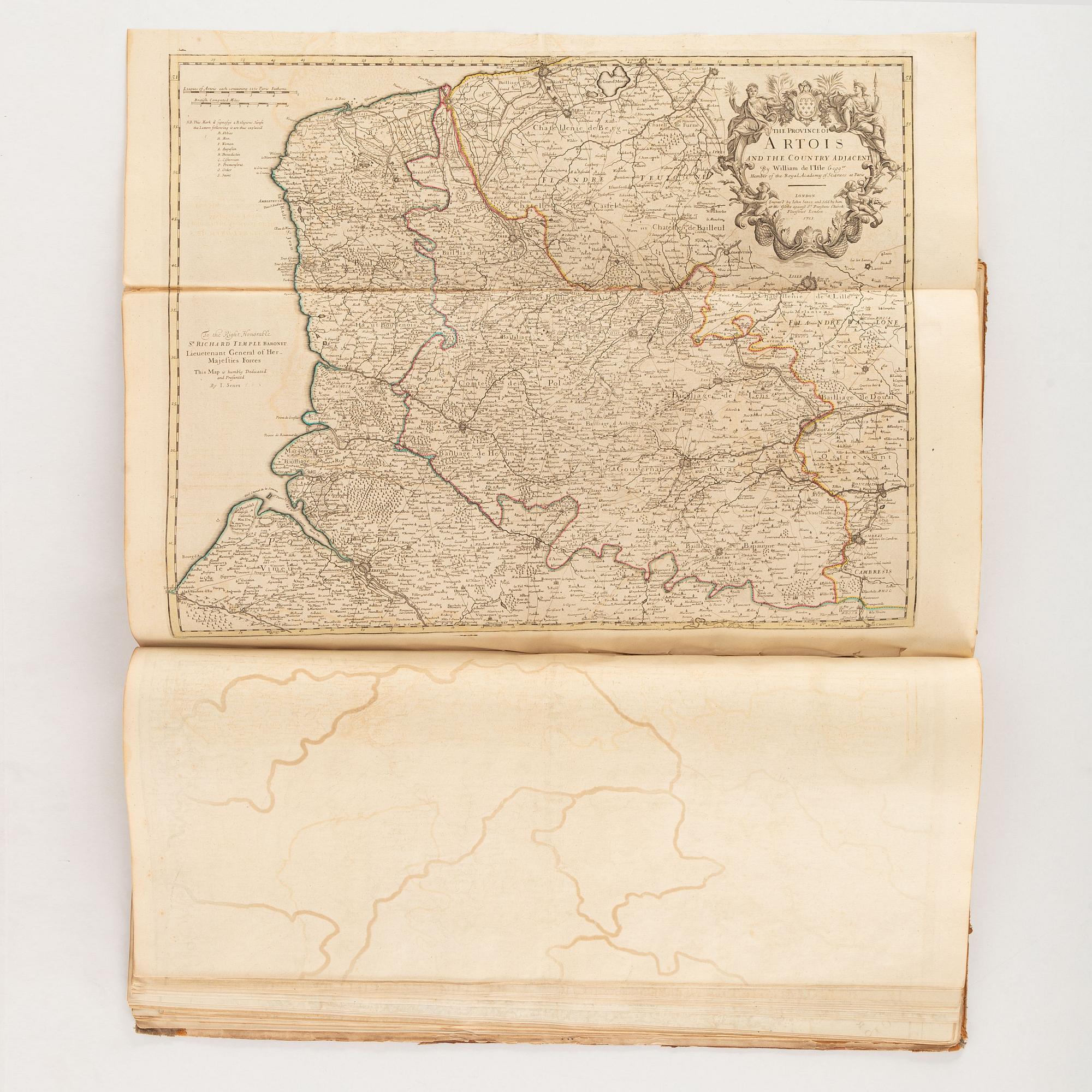
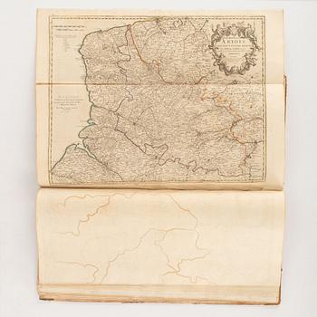
14) The Province of Artois and the Country adjacent […] 1713 (short tear along fold)
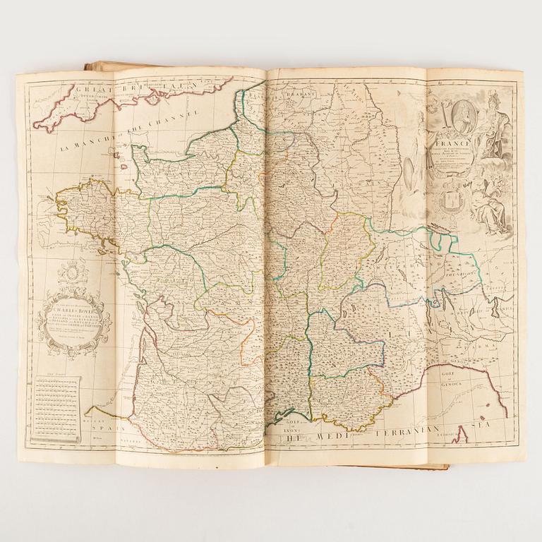
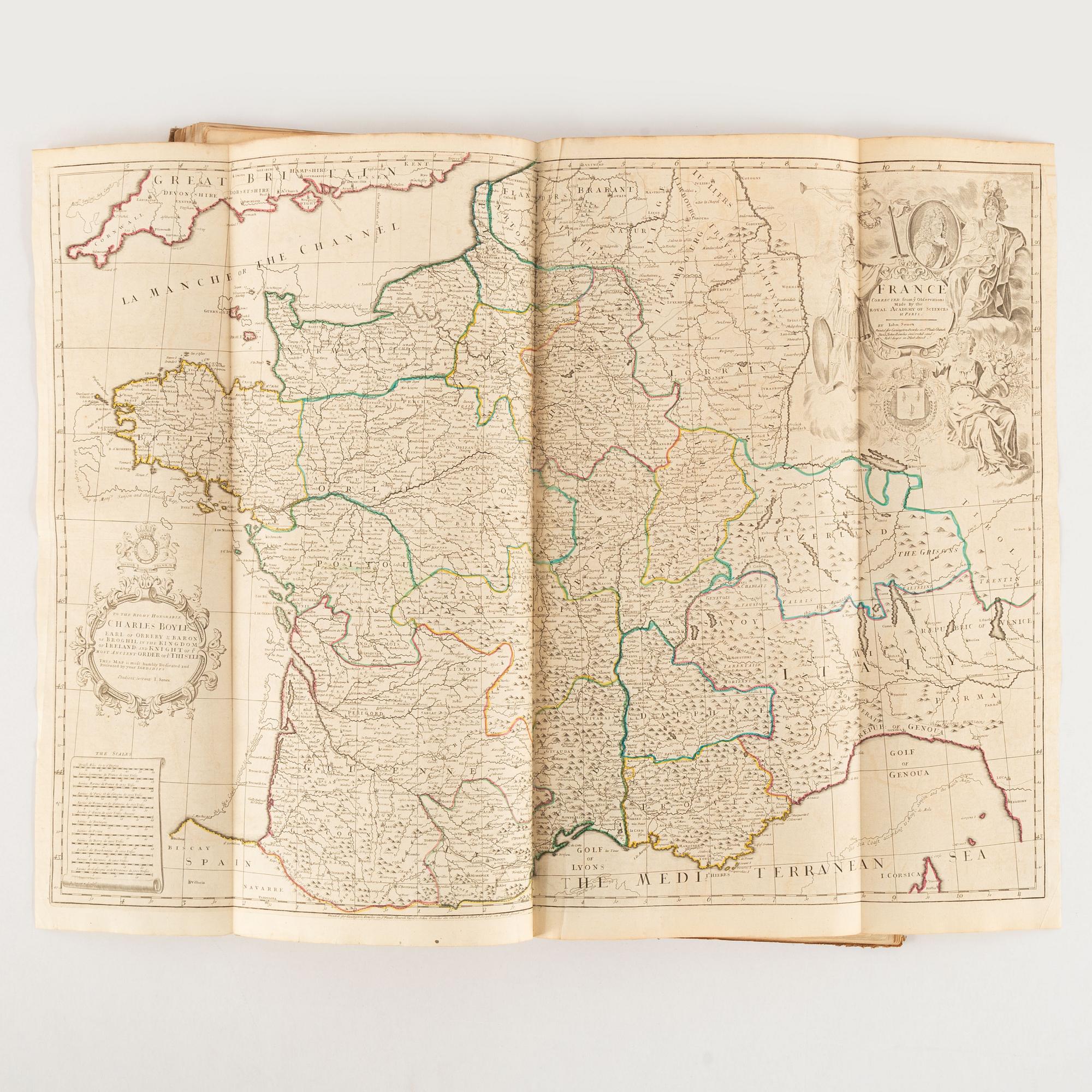
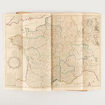
15) France
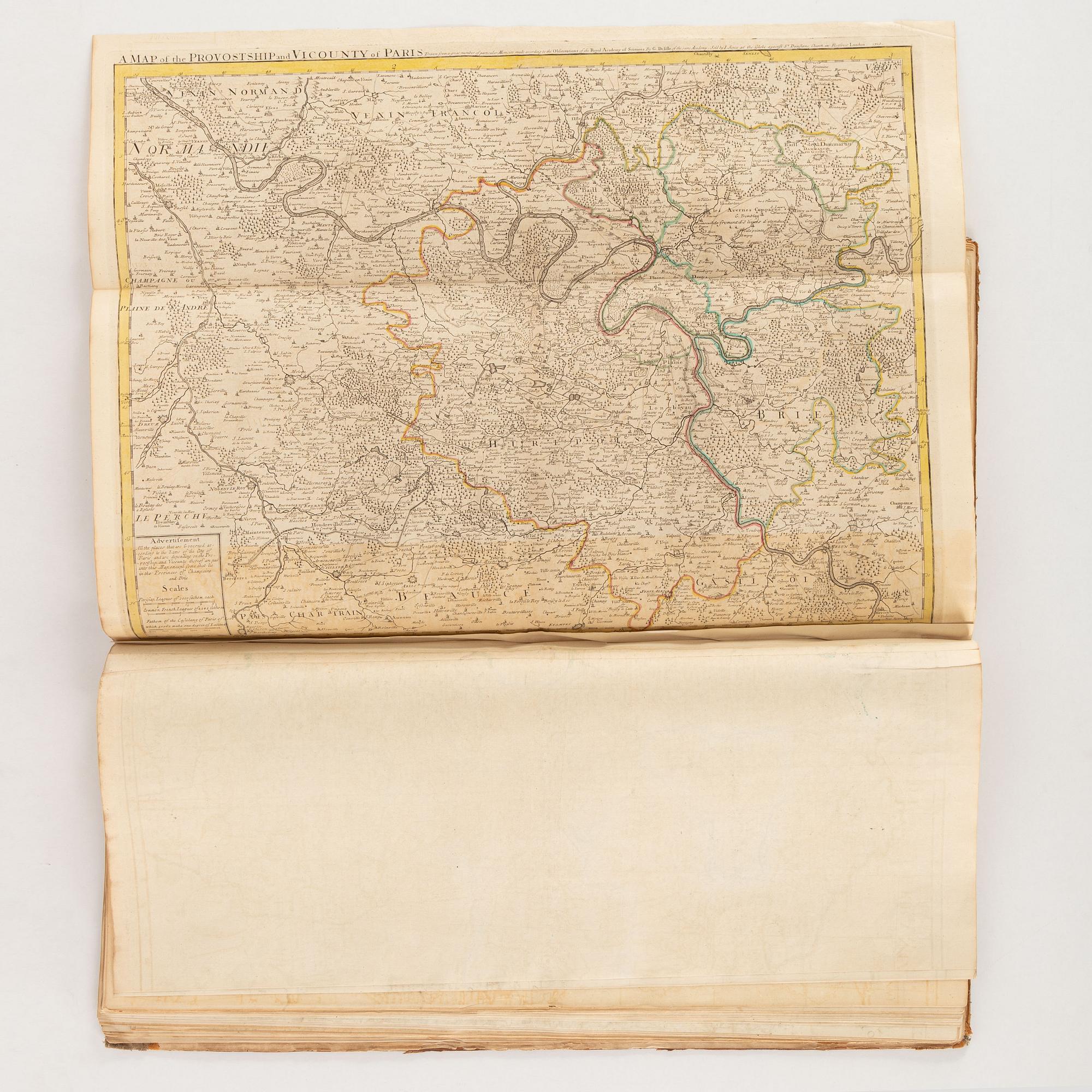
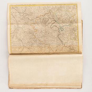
16) A Map of the Provostship and Vicounty of Paris […] 1713
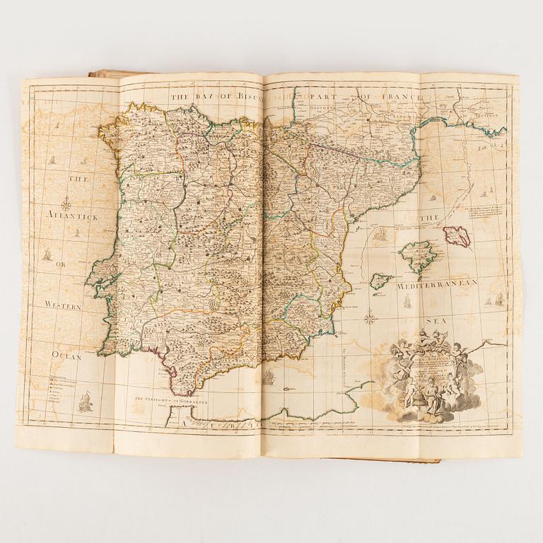
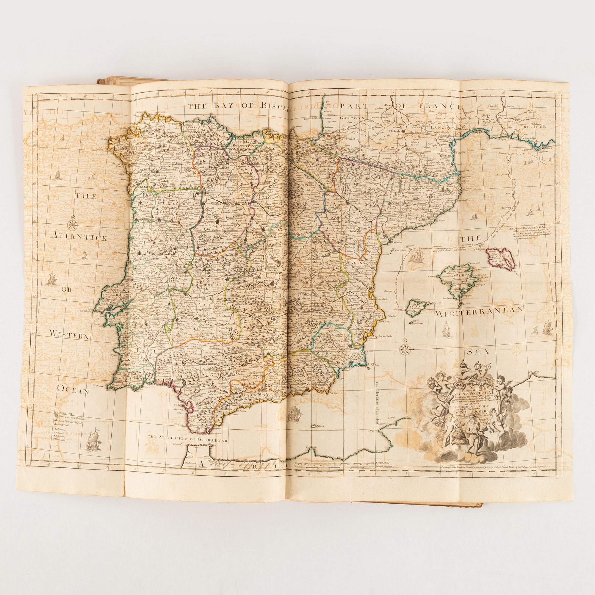
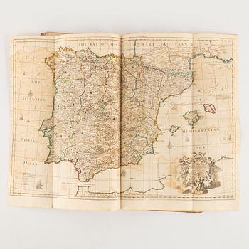
17) A Correct Map of Spain and Portugal
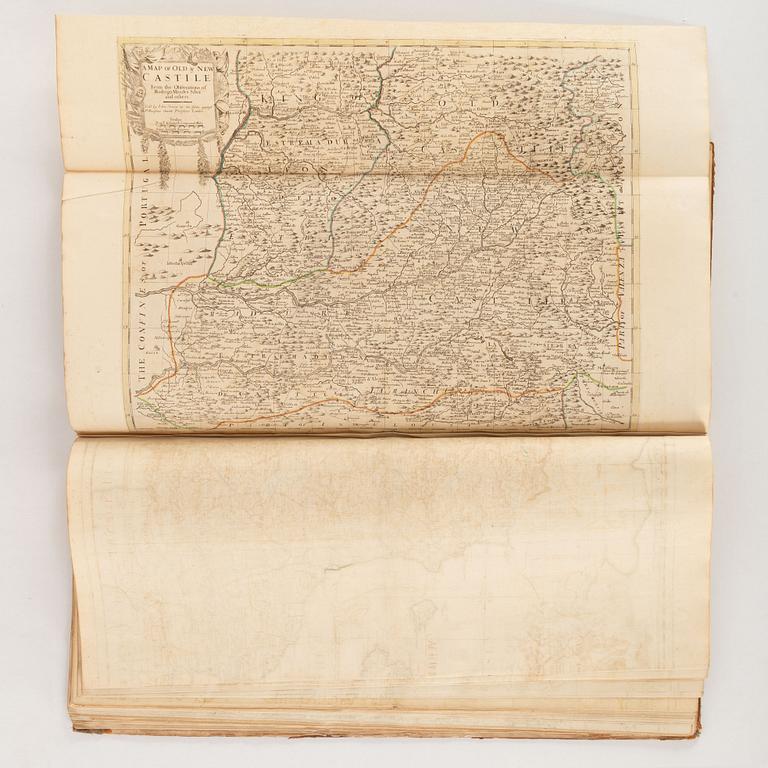
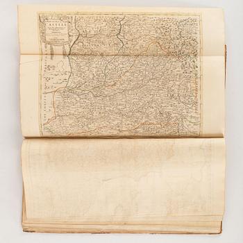
18) A Map of Old & New Castile
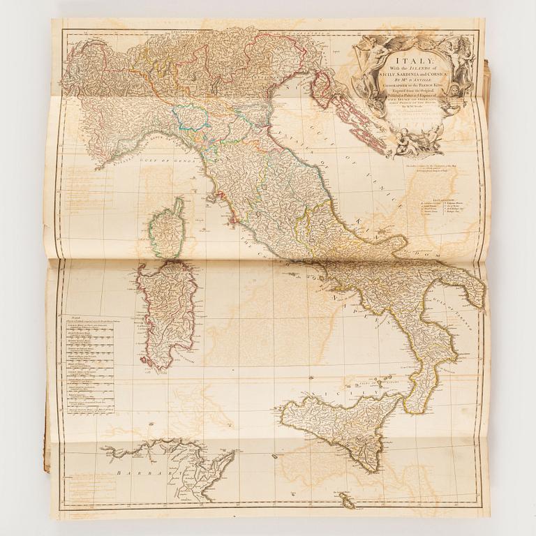
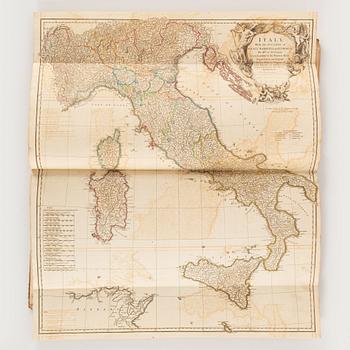
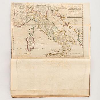
19) Italy; with the Islands of Sicily, Sardinia and Corsica: by Mr. D’Anville
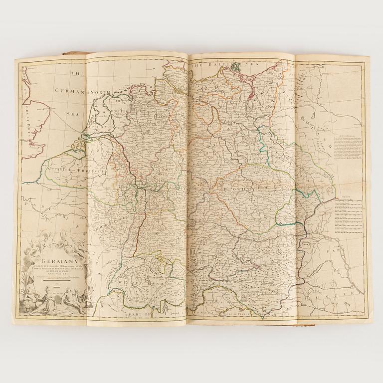
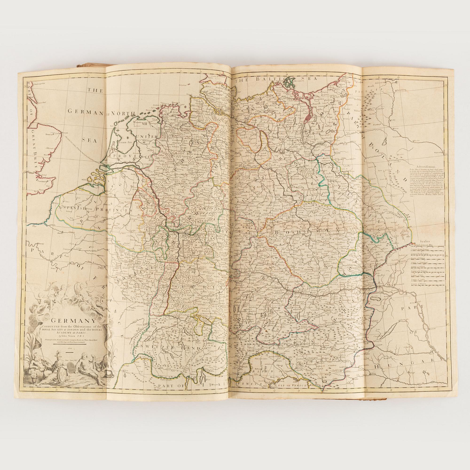
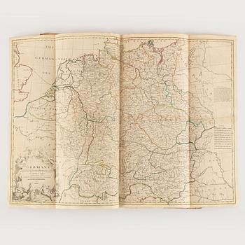
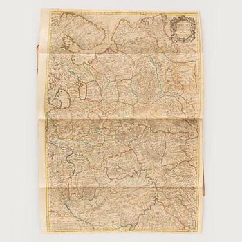
20) Germany […] 1710
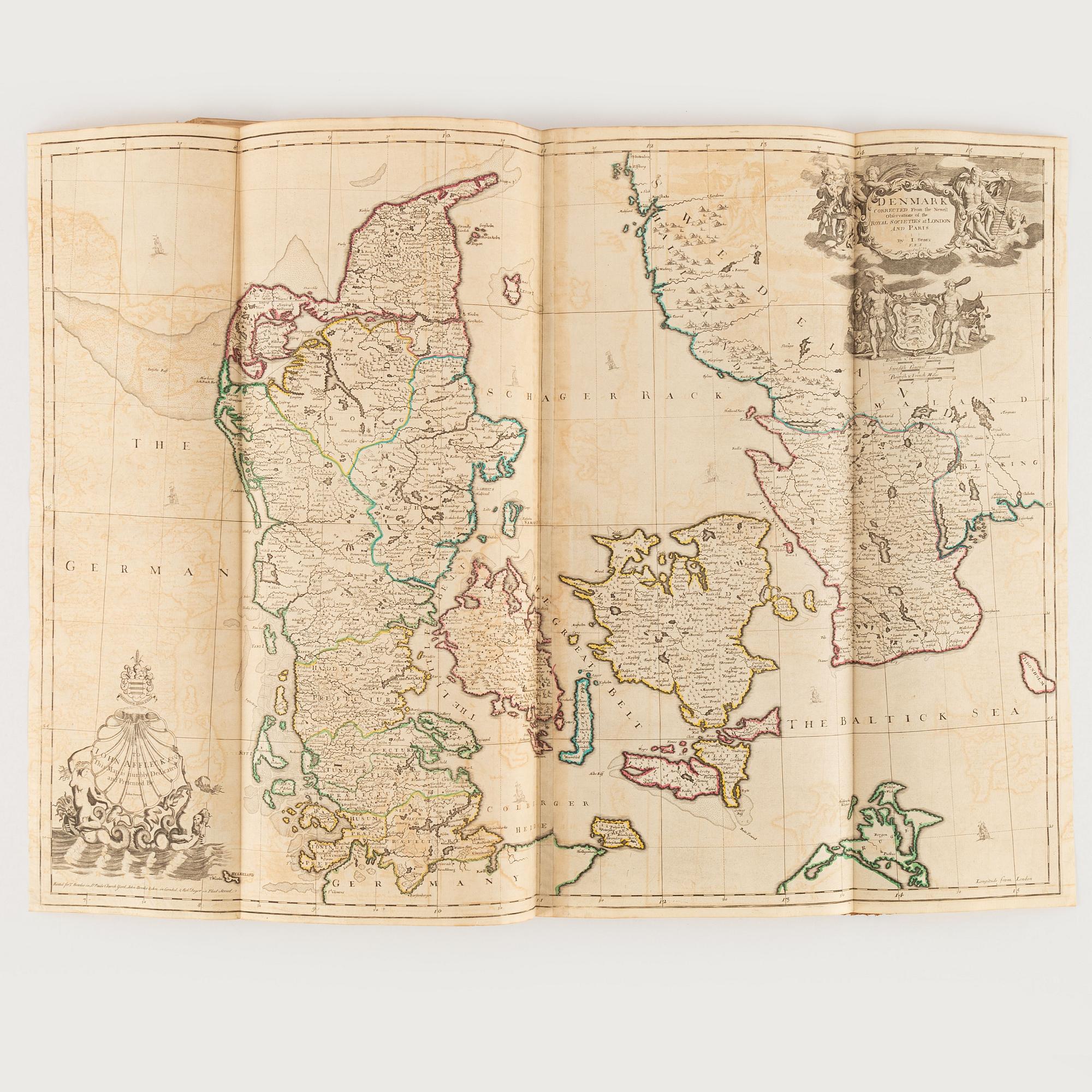
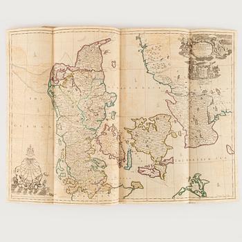
21) Denmark
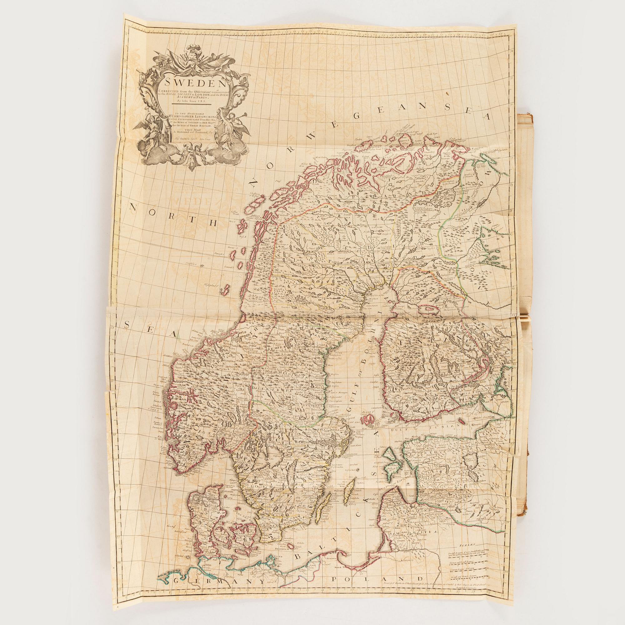
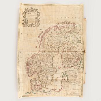
22) Sweden (2 tears along folds, 2 small holes)
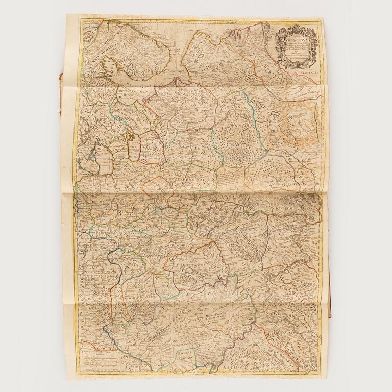
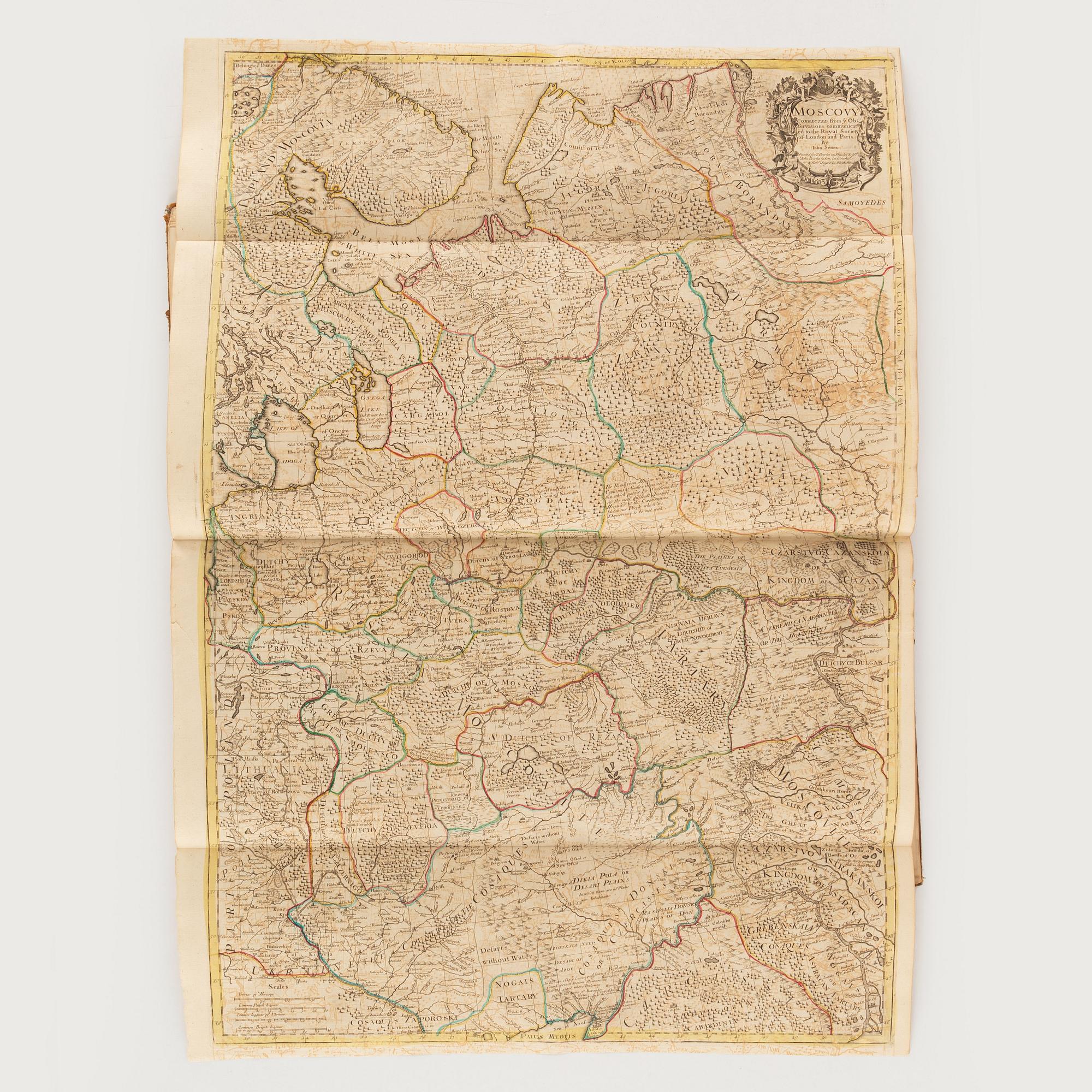
23) Moscovy (short marginal tears)
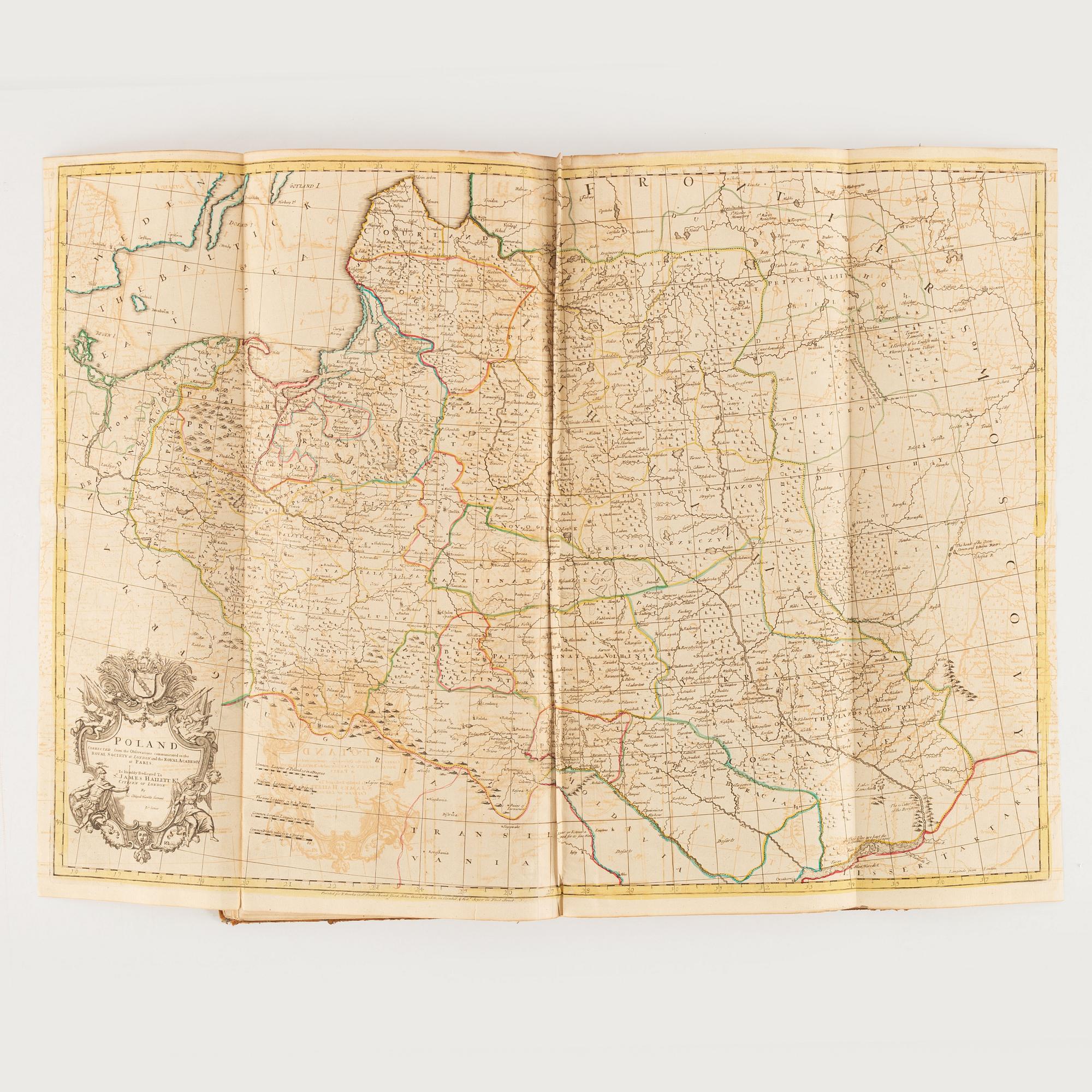
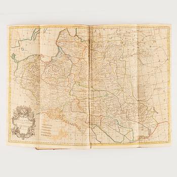
24) Poland (creases to central fold)
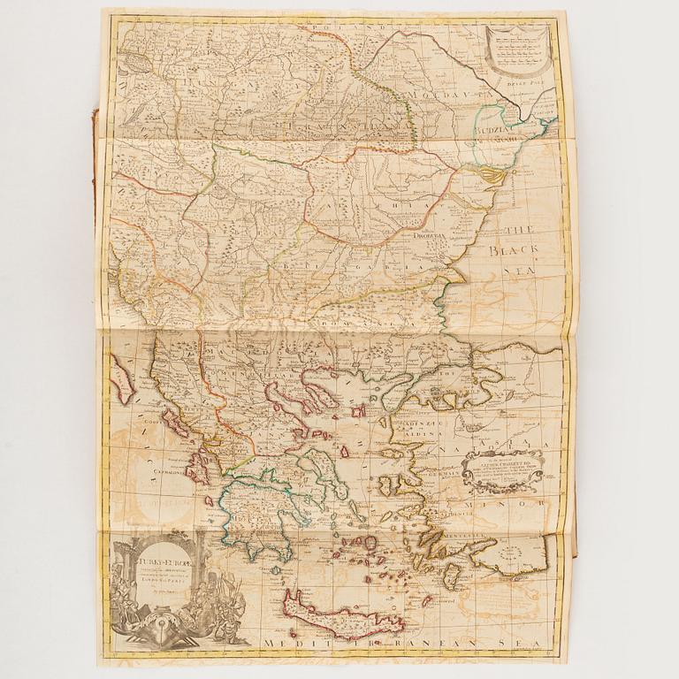
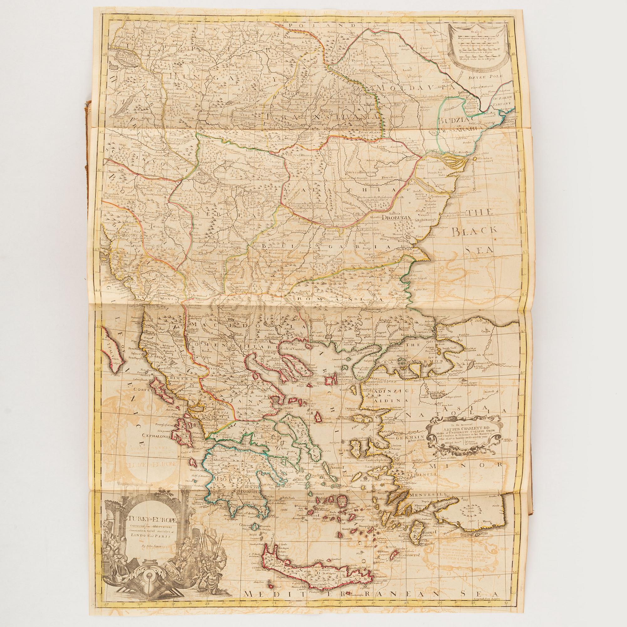
25) Turky in Europe
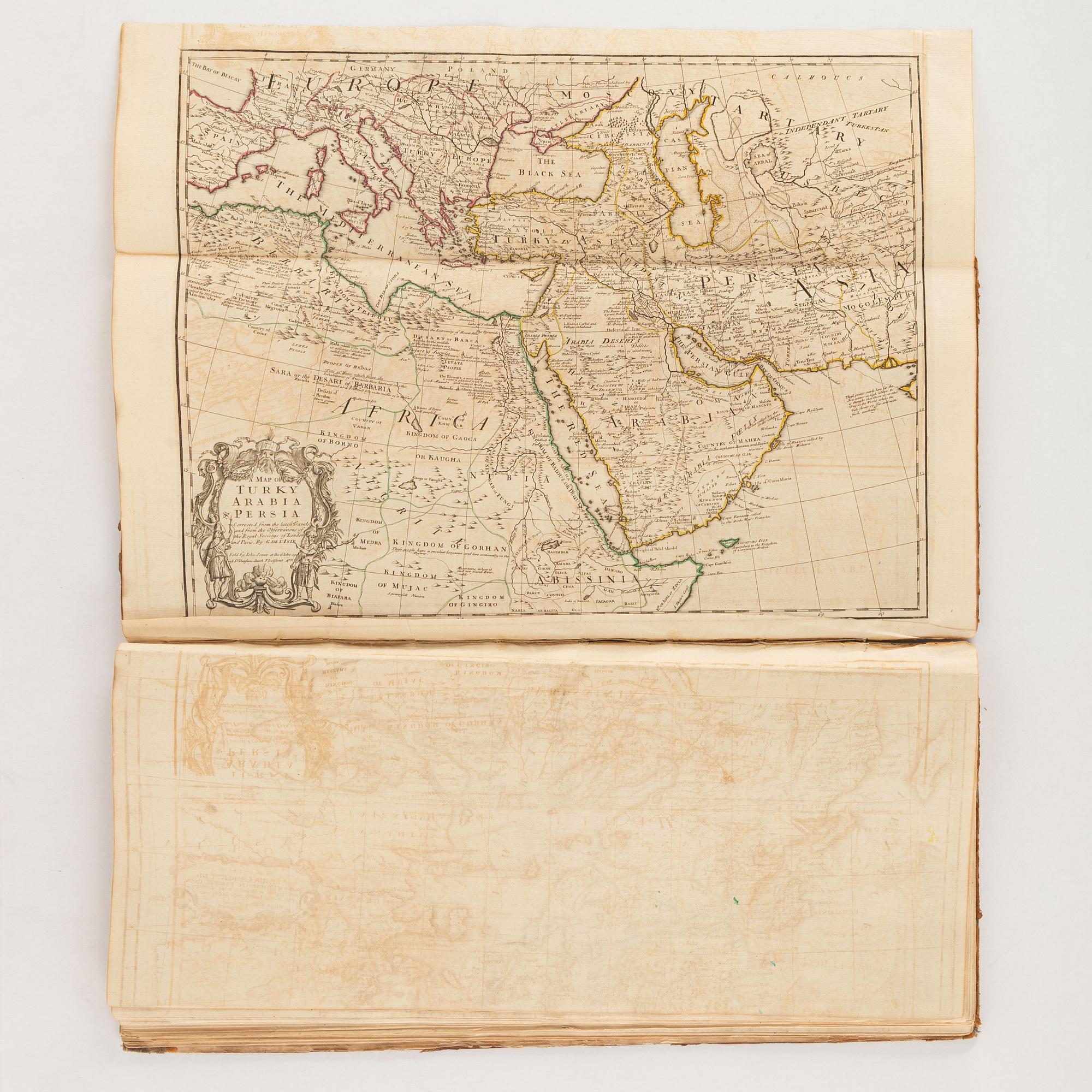
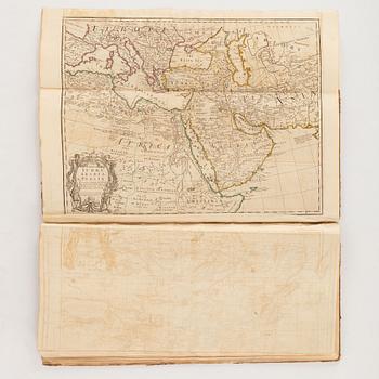
26) A Map of Turky Arabia & Persia
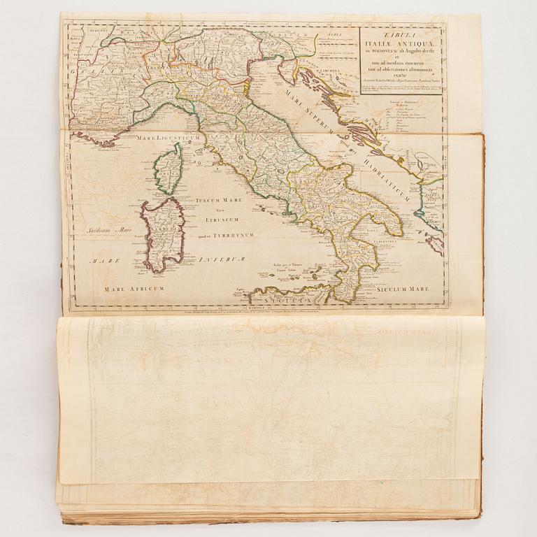
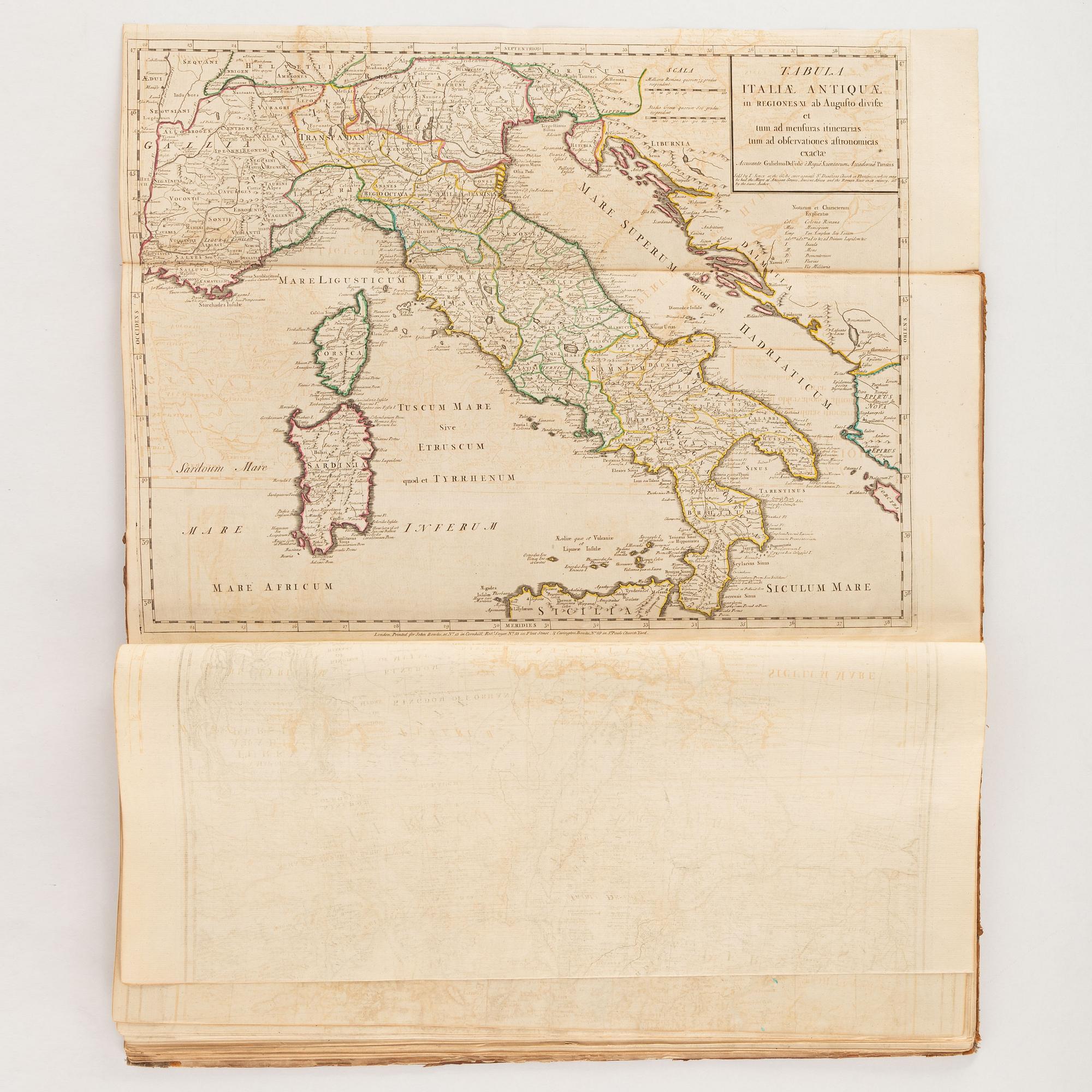
27) Tabula Italiae Antiquae (short marginal tear)
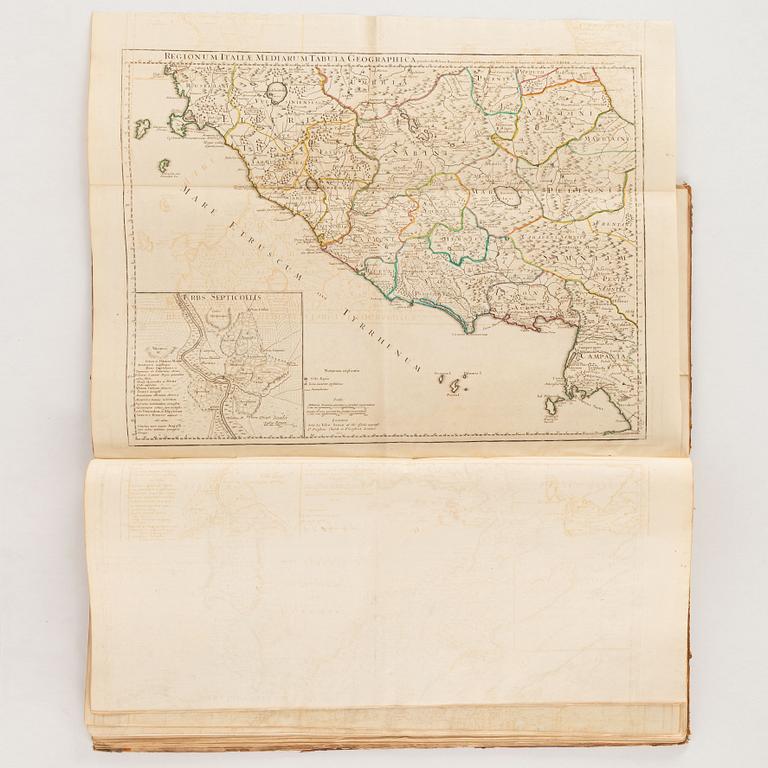
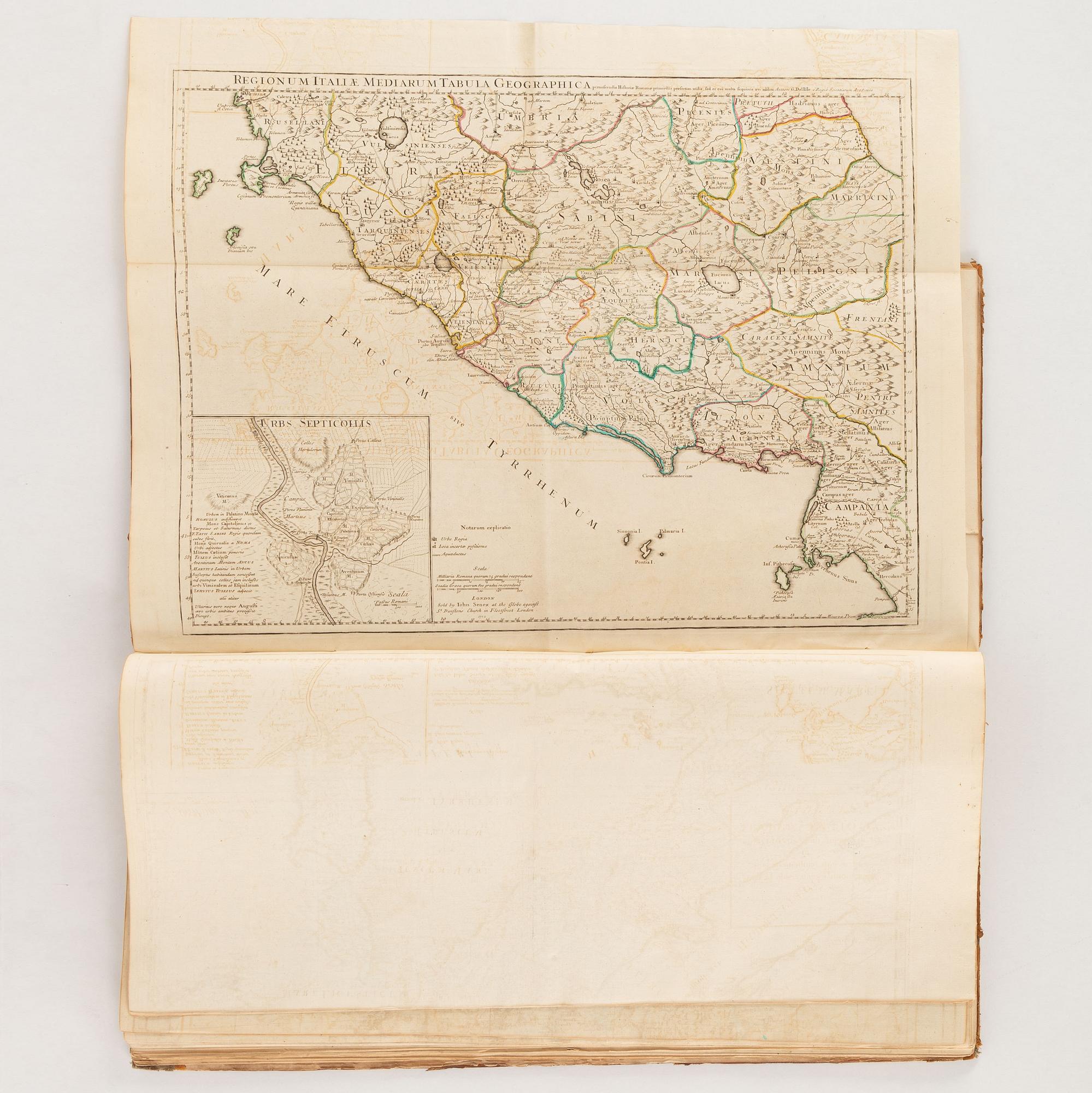
28) Regionum Italiae Mediarum Tabula Geographica
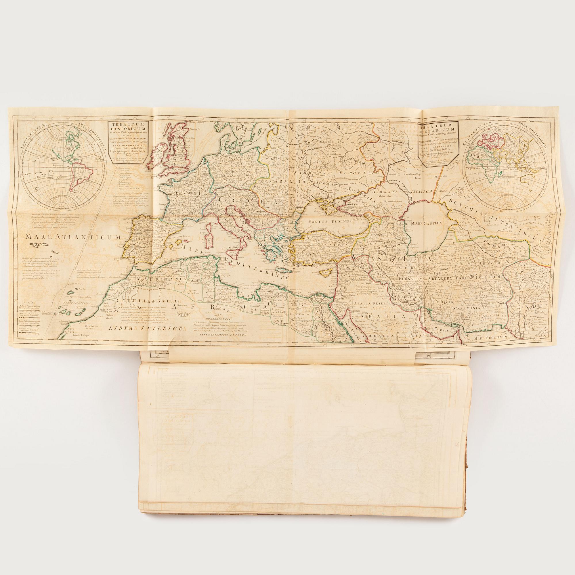
29) Theatrum historicum […] pars occidentalis + Theatrum historicum […] pars orientalis (Sellotape repair on verso and 2 marginal tears)
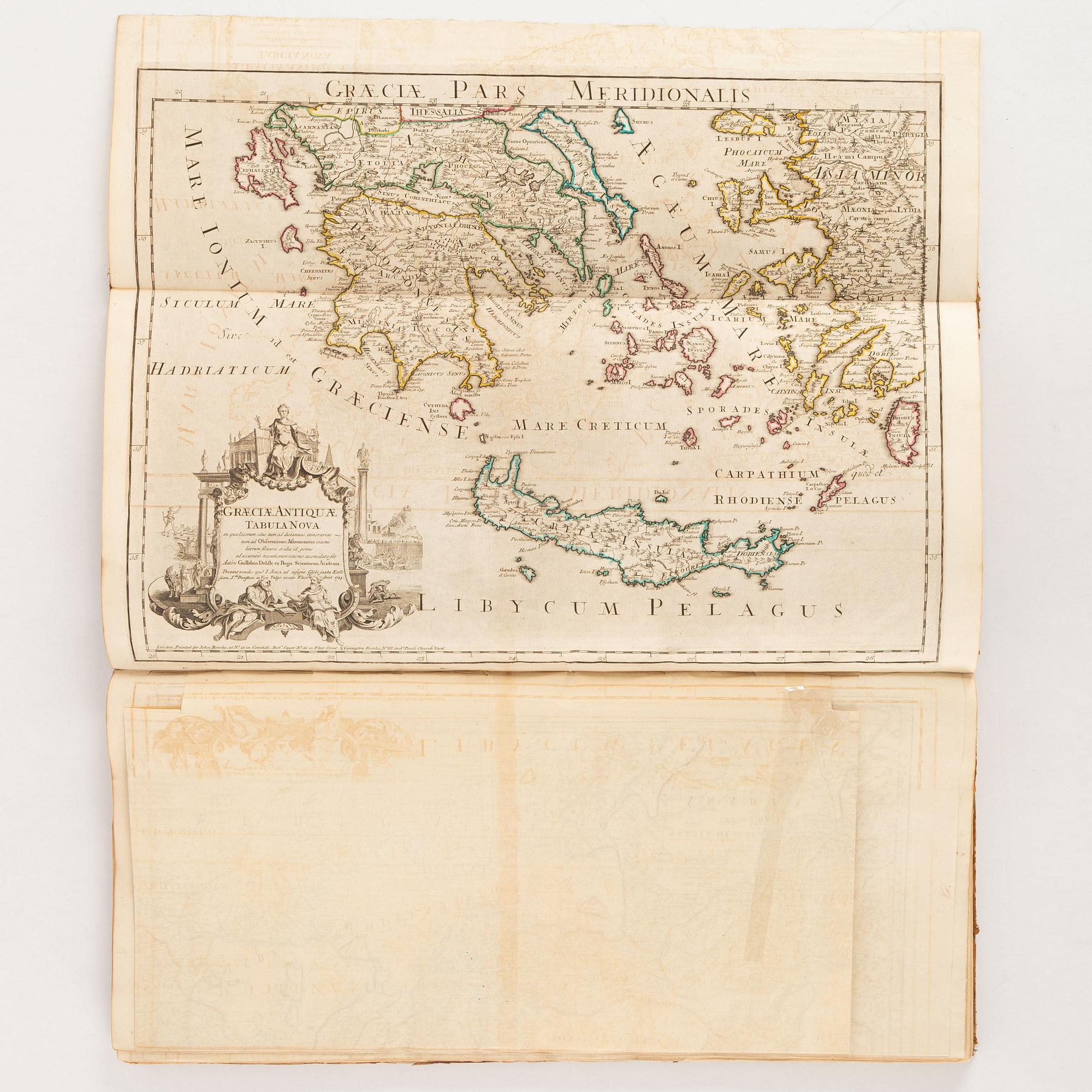
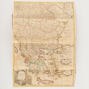
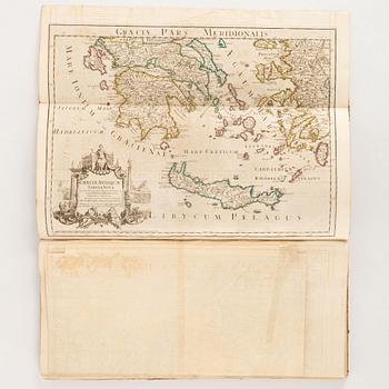
30) Graeciae Antiquae Tabula Nova […] 1725, Graeciae Pars Meridionalis
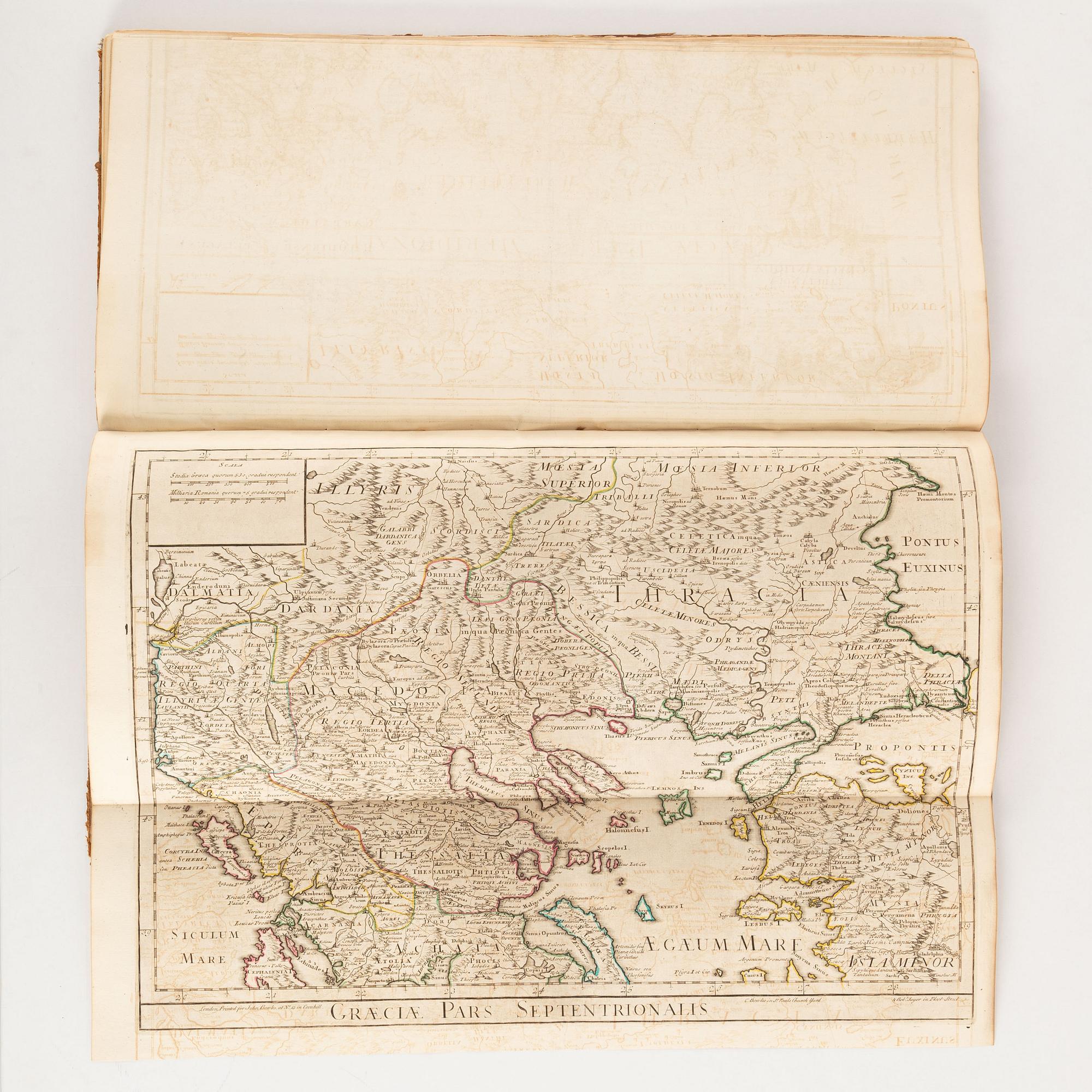
31) [Graeciae Antiquae Tabula Nova] - Graeciae Pars Septentrionalis
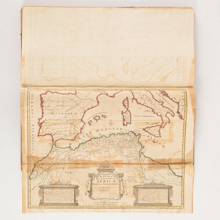
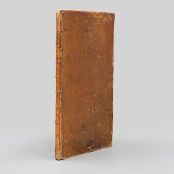
32) In Notitiam Ecclesiasticam Africae Tabula Geographica (heavy offsetting and som discoloration, long tear along fold).
.


Others have also viewed