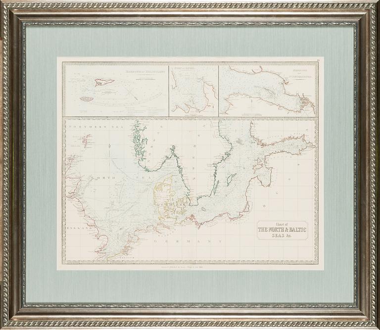
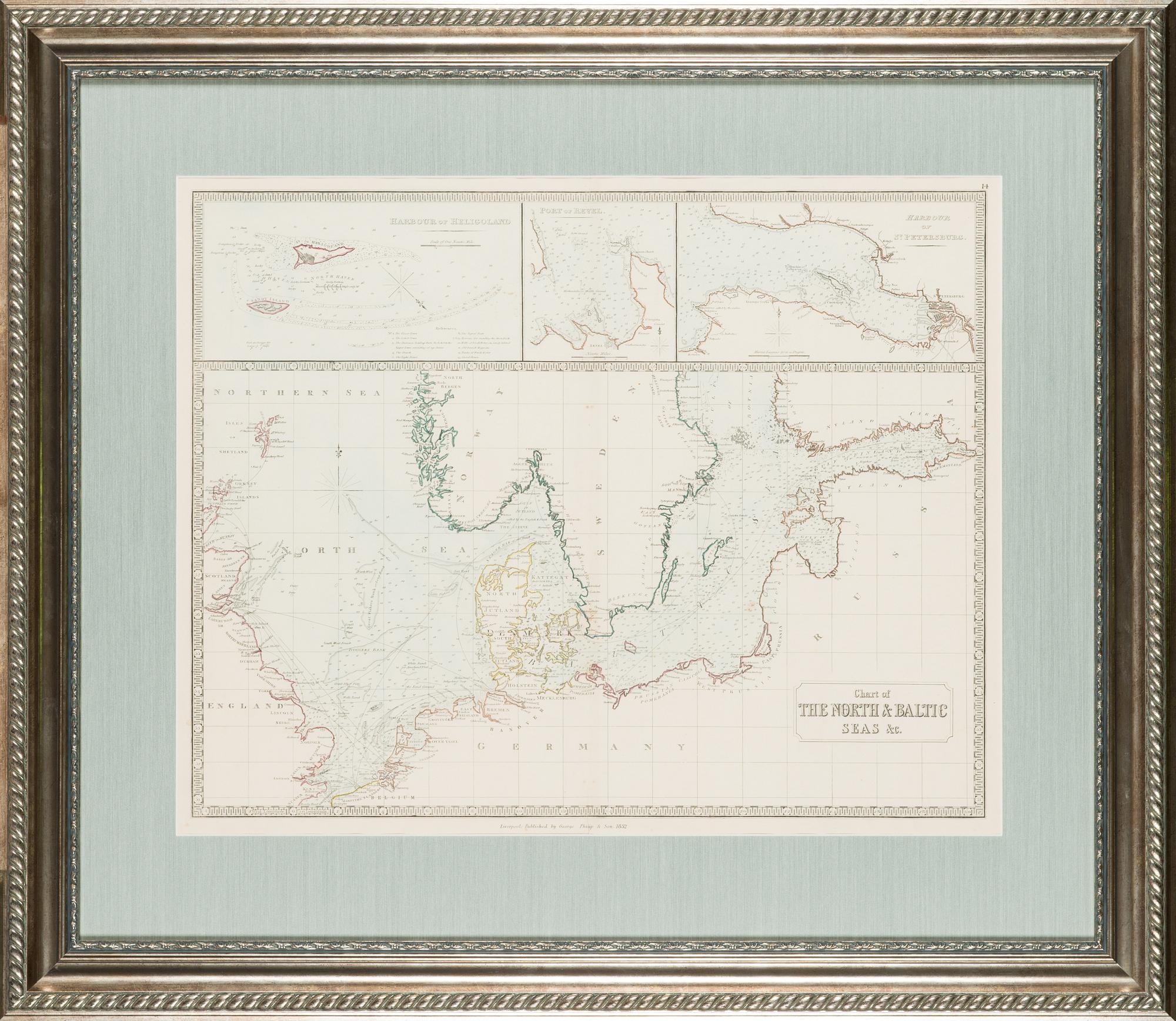
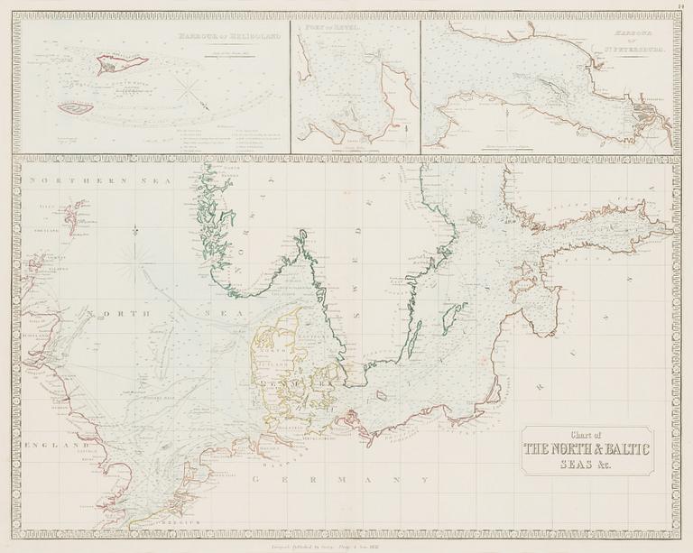
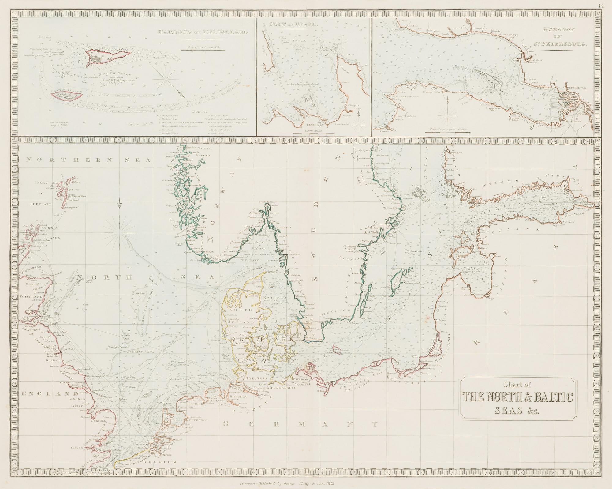
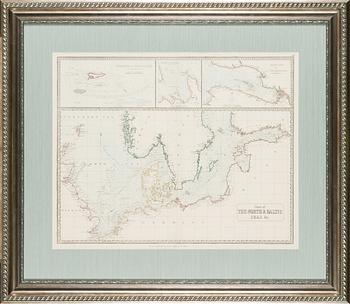
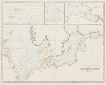
Map, 'Chart of The North & Baltic Seas'.
Auction ended
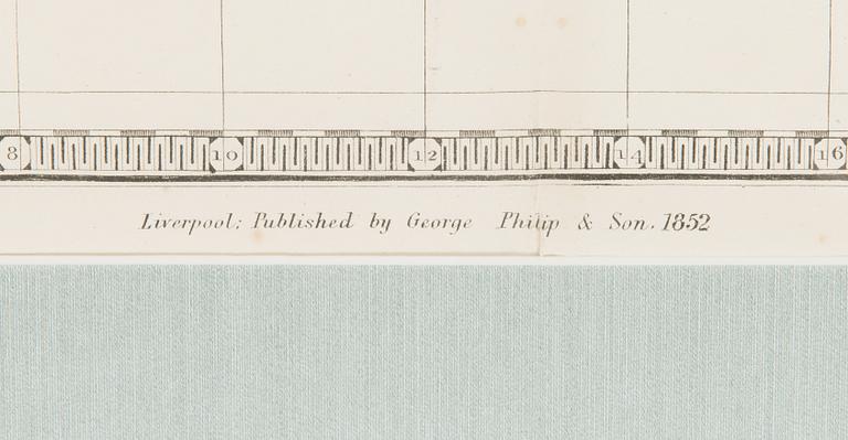
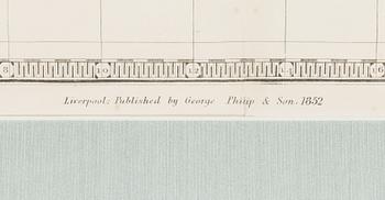
Published by George Philip & Son 1852, Liverpool. Image size 48 x 60 cm.
Wear due to age and use. Soft creases.
Others have also viewed

1693626
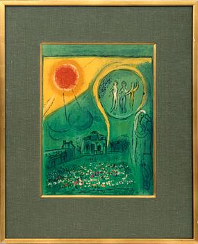
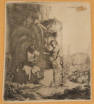
Rembrandt Harmensz van Rijn
"Christ and the Woman of Samaria among Ruins".
No bids
3d 11h
Estimate
5 000 SEK