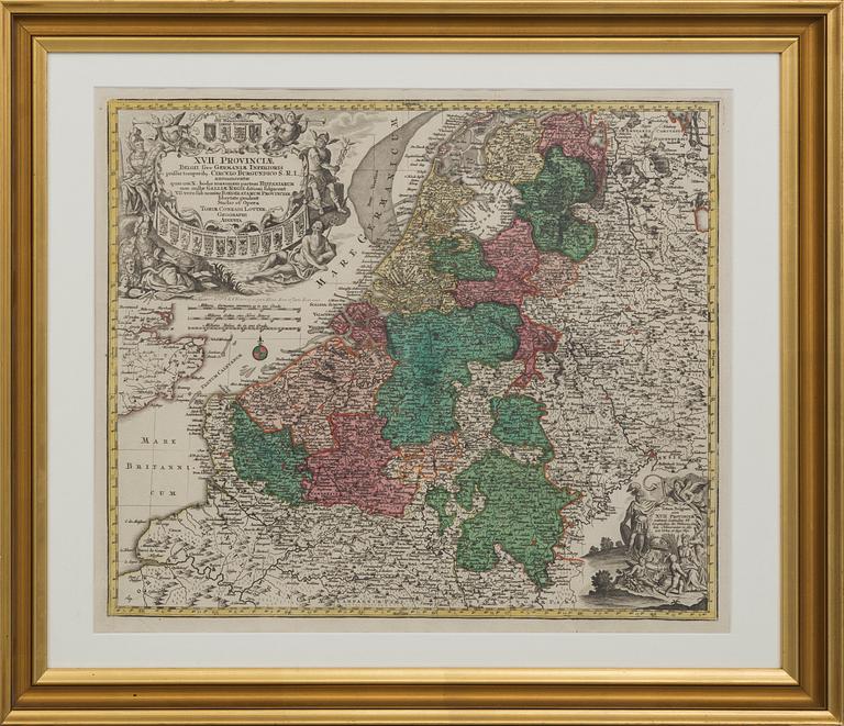
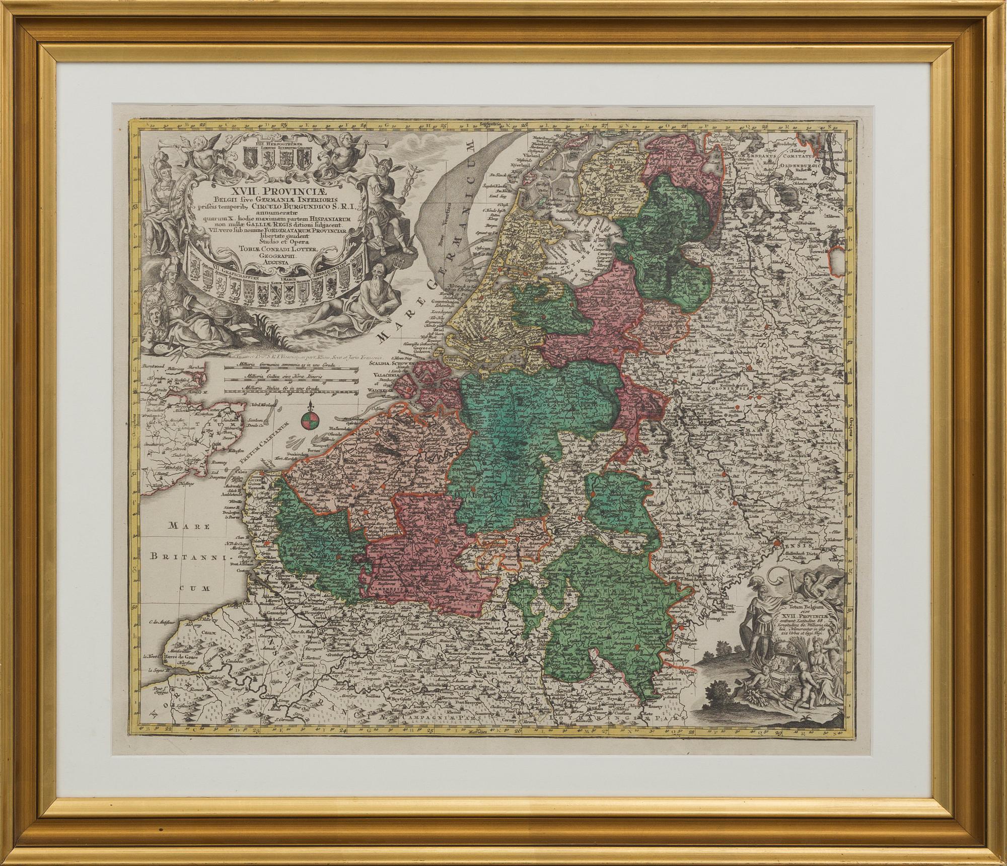
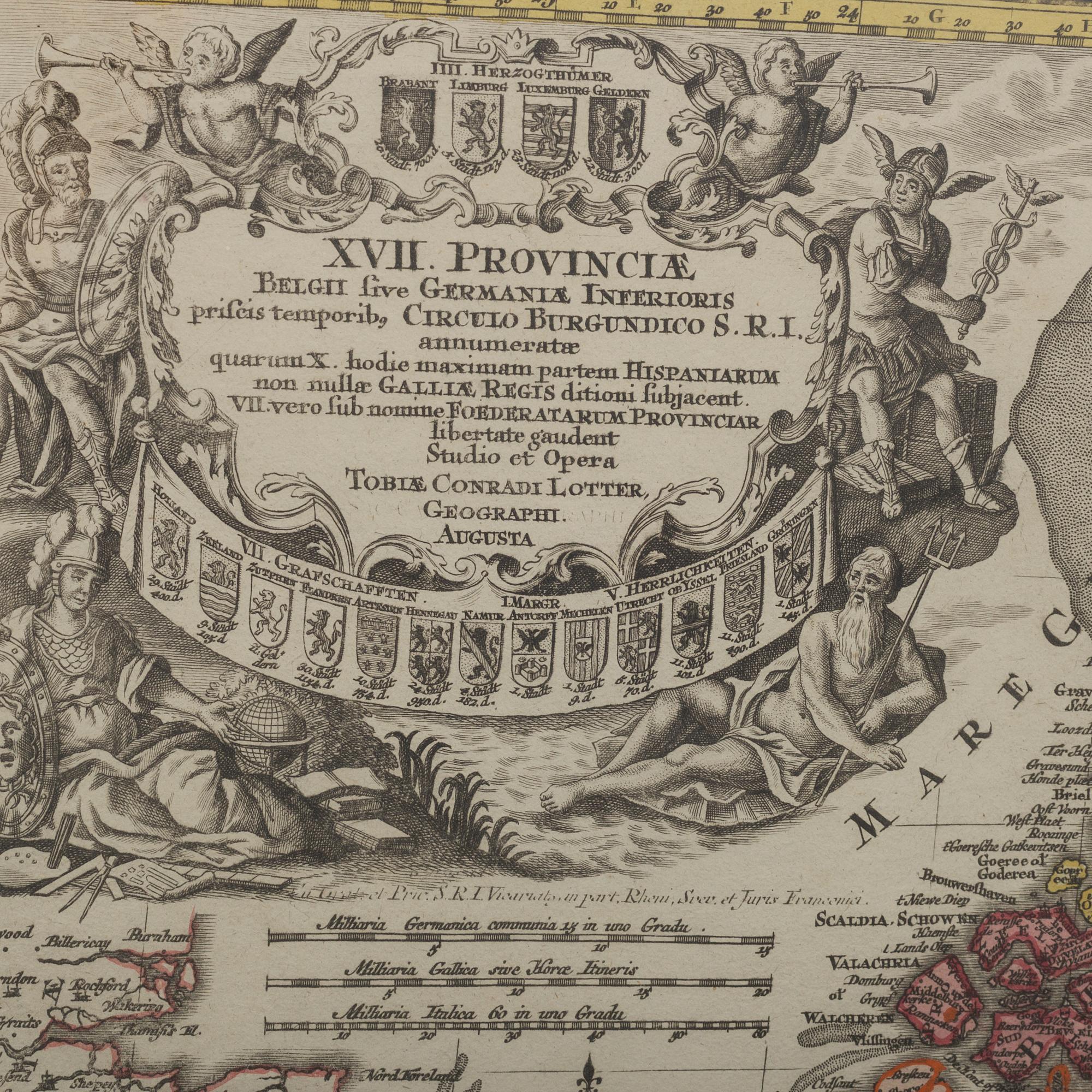
A MAP BY CONRADI LOTTER, middel of the 18th century.
Auction ended
Map over Netherlands, Belgium and Luxembourg, 17 provinces. Partially colored. Images size 60x51 cm.
Not examined out of frame. Fold. Wear due to age and use.


Others have also viewed
1713226
Peter Frie
Gunnar Ekelöf, Hans Magnus Enzensberger, "The Clouds", Elementum II, around the year 2005.
No bids
4d 13h
Estimate
2 500 SEK
1723062
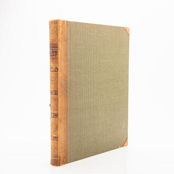
Book,
"Art Forms in Nature", Karl Blossfeldt, Spamersche Buchdruckerei, Leipzig, 1930.
Current bid
1 800 SEK
15h 13m
Estimate
2 500 SEK
1705692
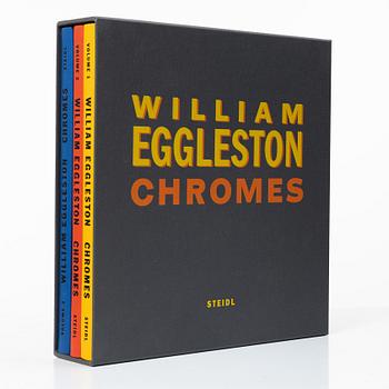
William Eggleston
Box with three books "William Eggleston Chromes vol. 1-3" published by Steidl. One signed.
Current bid
500 SEK
2d 16h
Estimate
8 000 SEK
1701856
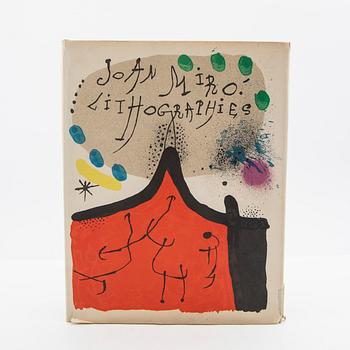
Joan Miró
Book with 11 colour lithographs, "Joan Miró Lithographies", Volume I, Maeght, Paris, 1972.
Current bid
1 000 SEK
2d 15h
Estimate
3 000 SEK
1673704
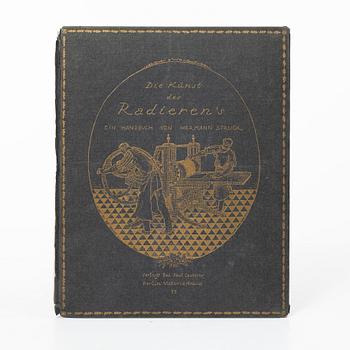
Hermann Struck,
'Die Künst des Radieren's' book with five original etchings by Edvard Munch, Max Liebermann among others.
Current bid
2 900 SEK
10h 48m
Estimate
3 000 SEK