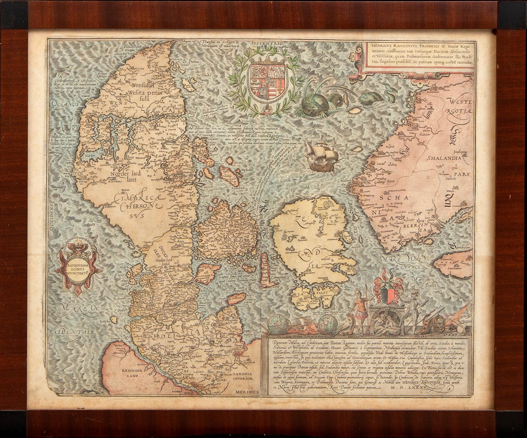
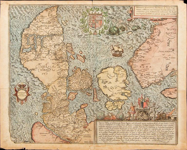
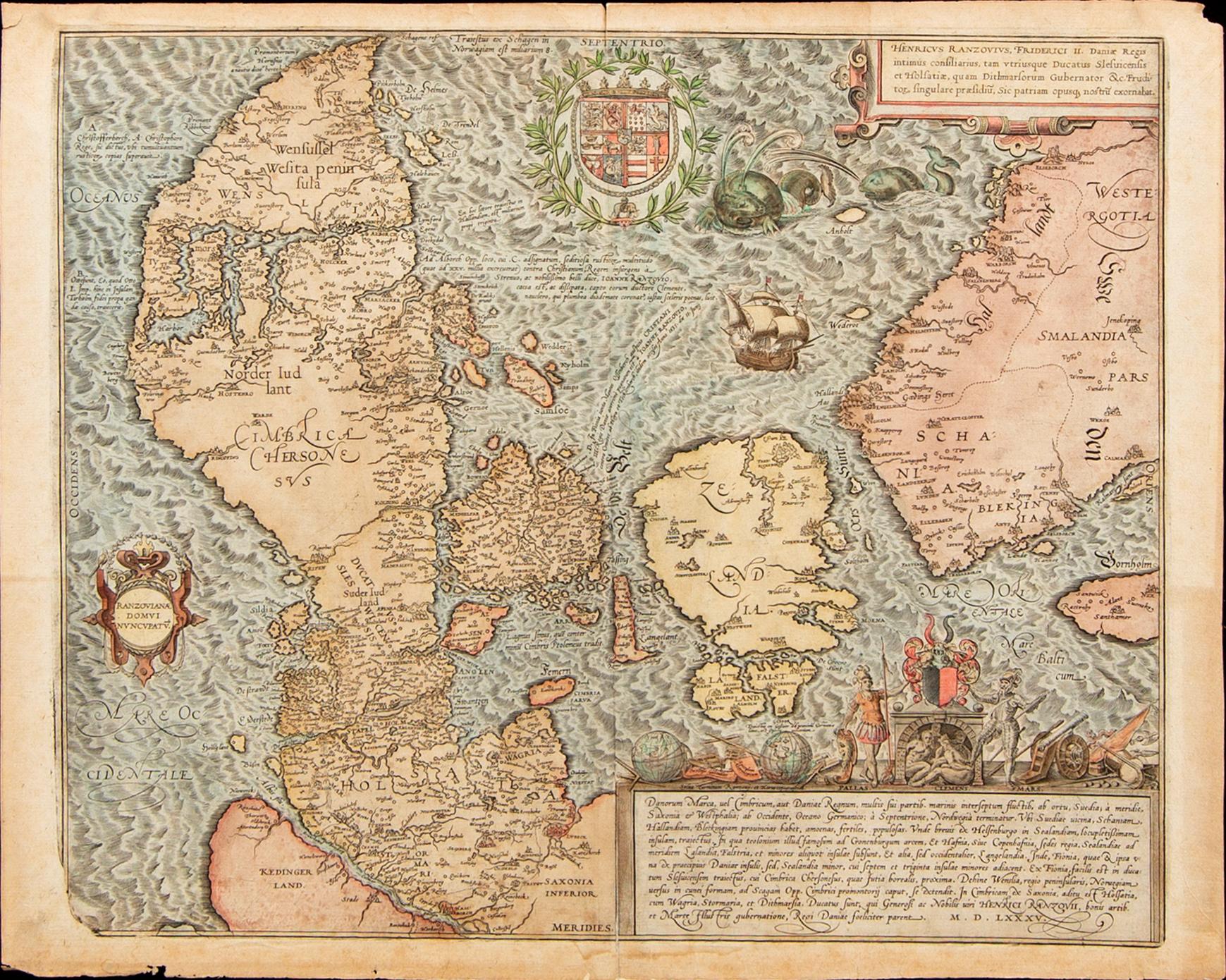
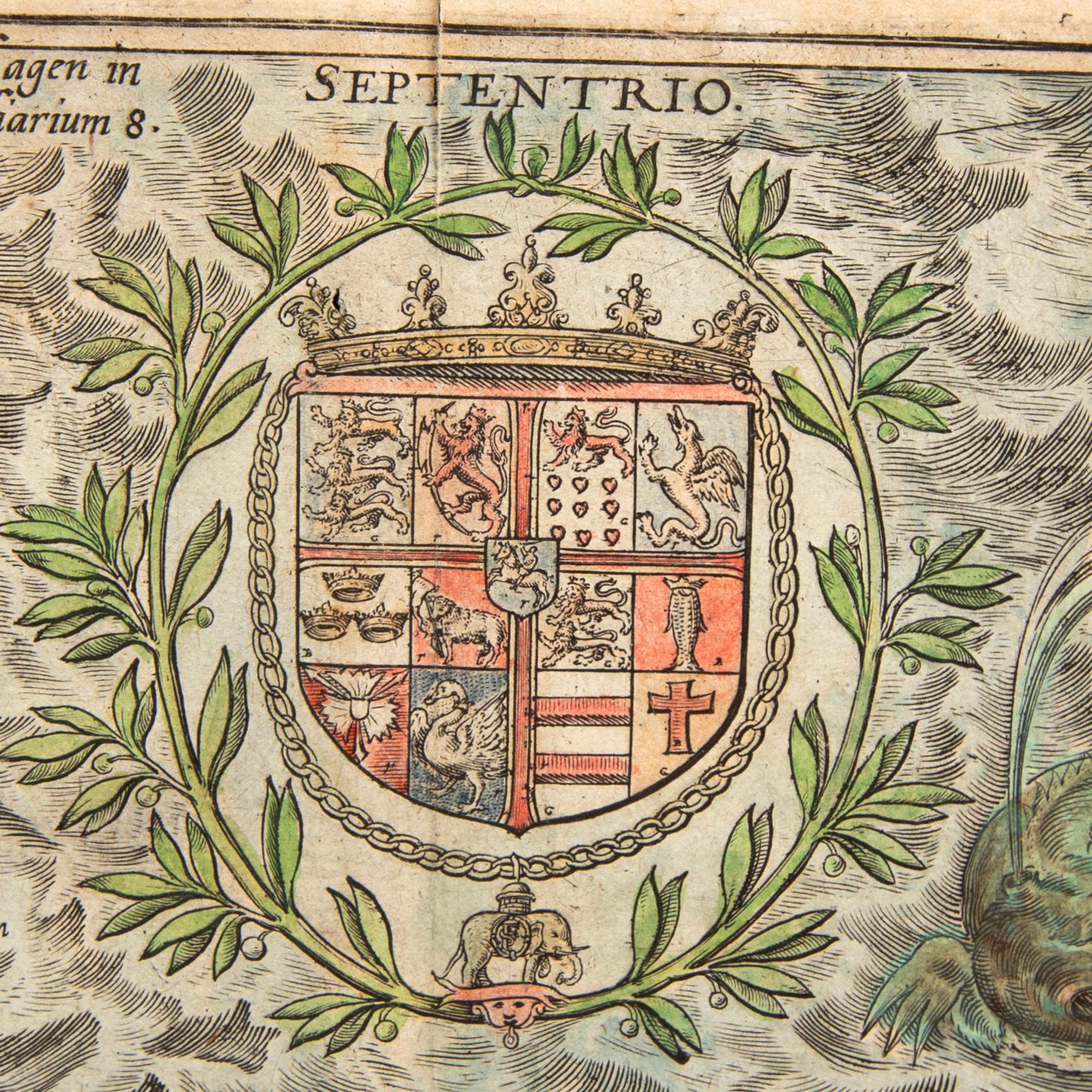
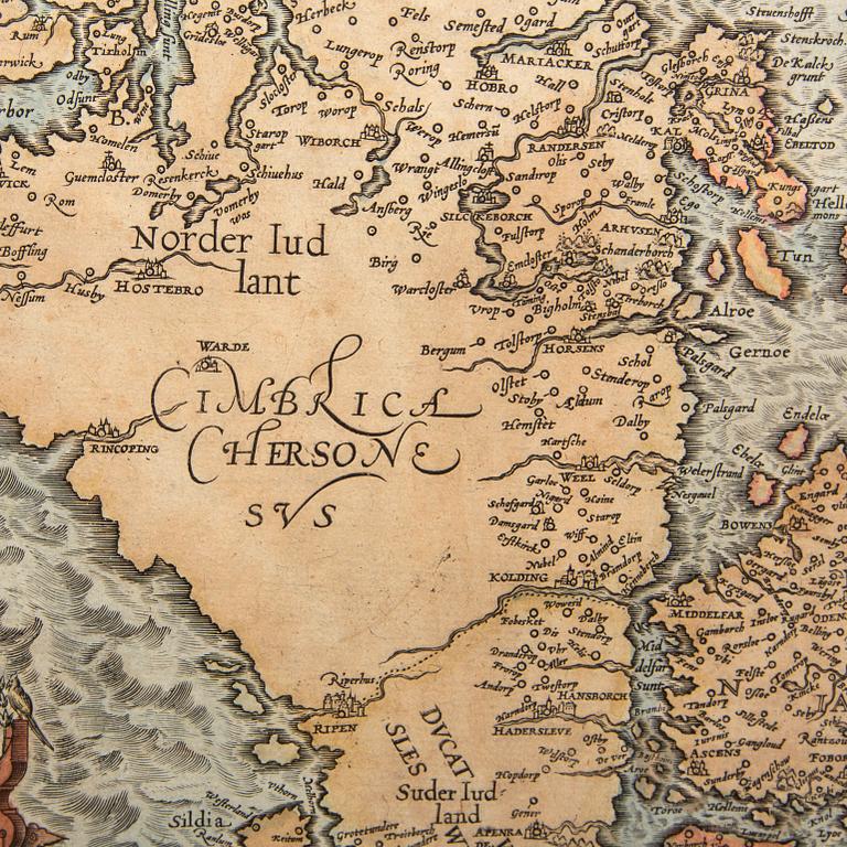
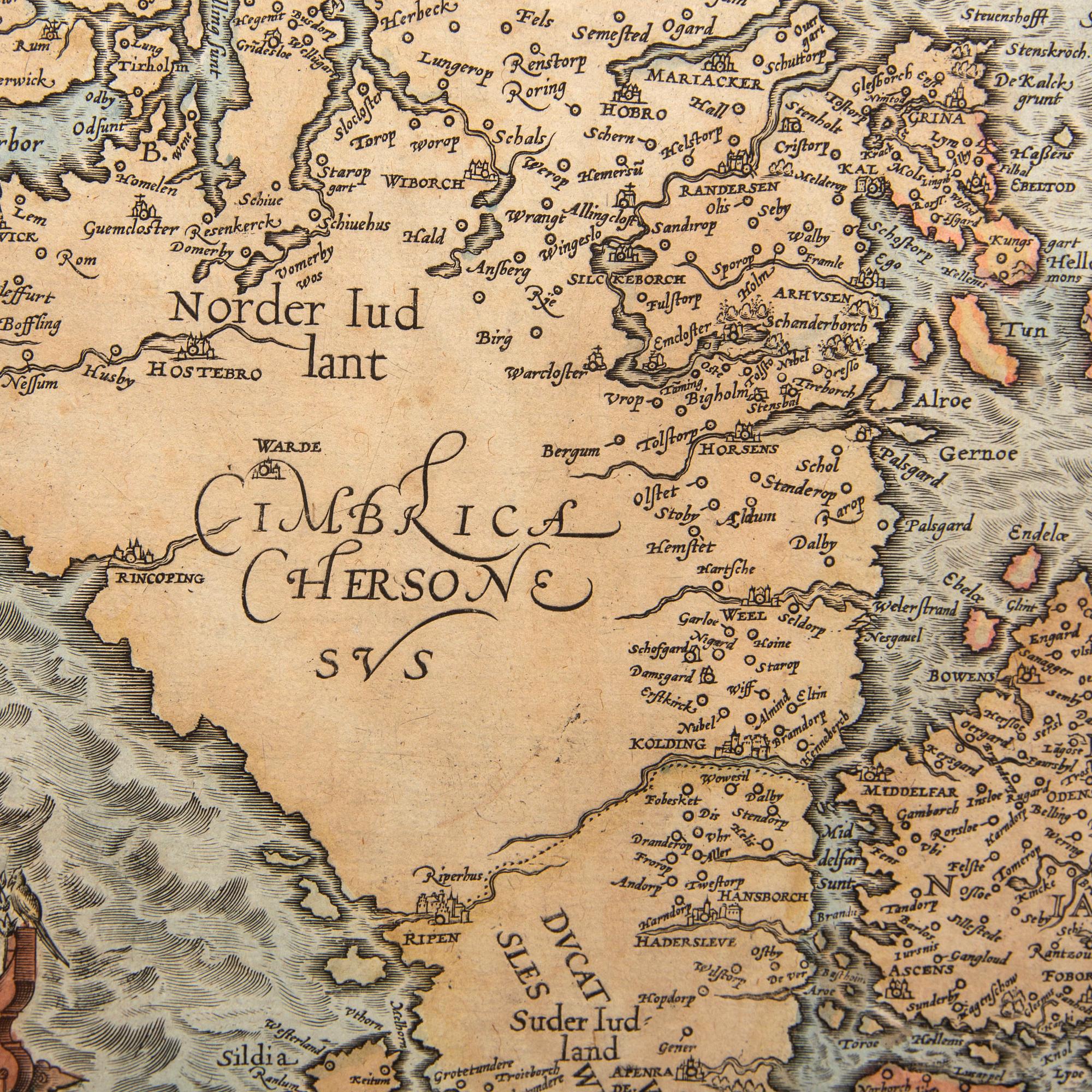
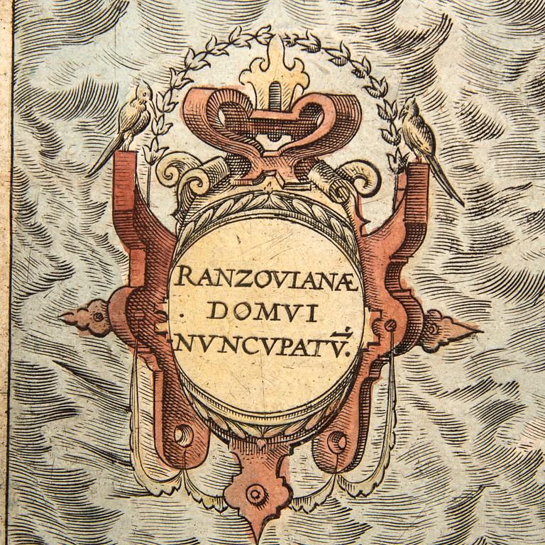
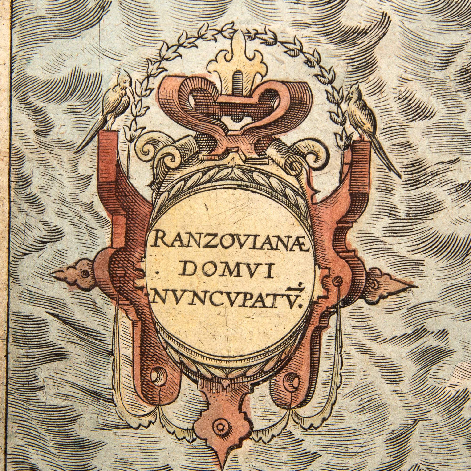
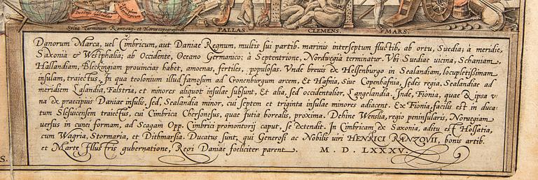
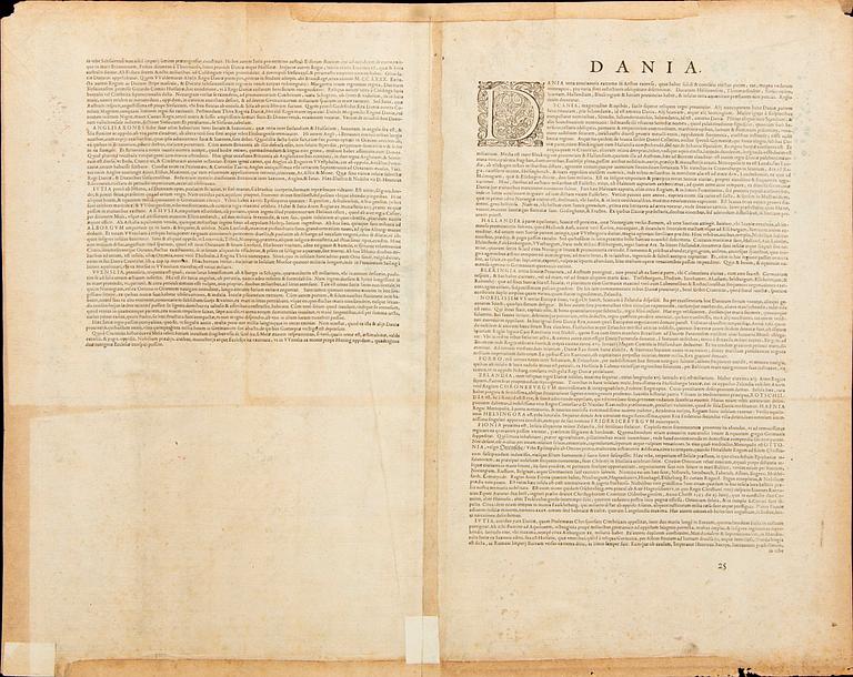
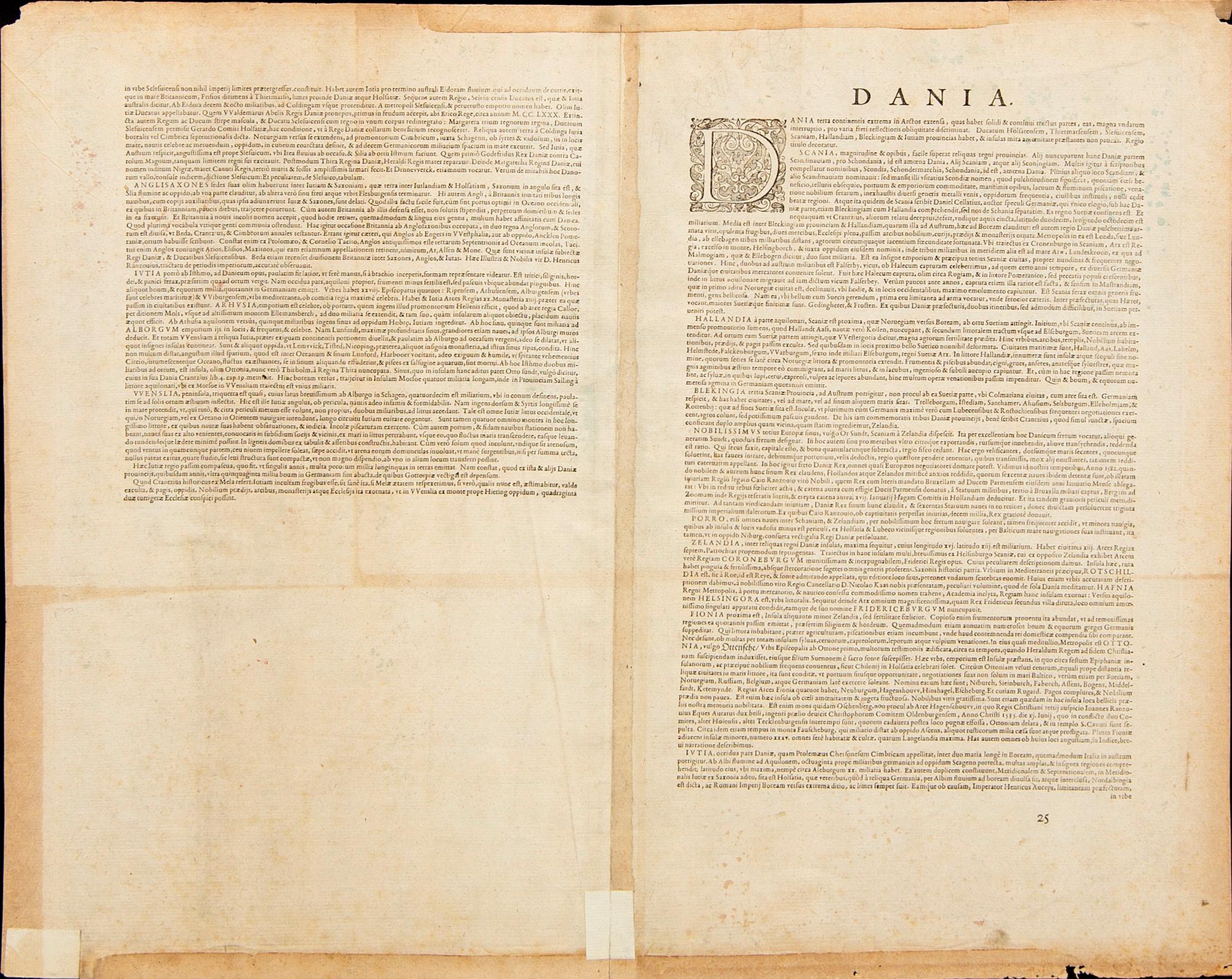
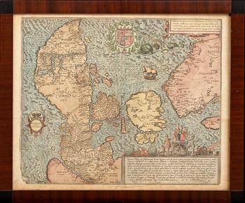
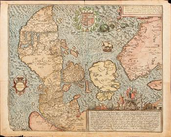
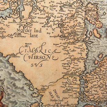
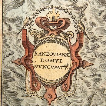
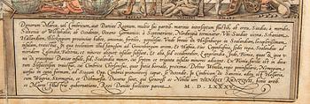
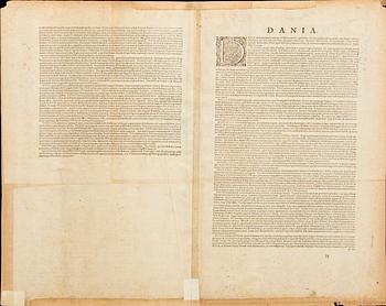
'Danorum Marca, uel Cimbricum, aut Daniae Regnum...'. Hand colored engraved map with four cartouches, coat-of-arms, sailing ship and sea-beasts. After a drawing by Marcus Jordan who count von Rantzau (the Danish govenor in Schleswig-Holstein) commisioned to draw the map. Latin text on verso with page number 25. About 39,5 x 47 cm. Small part of left lower corner broken, as they are in all editions.
Bramsen, p. 58-61. Ginsberg p. 105 and image no. 24.9.
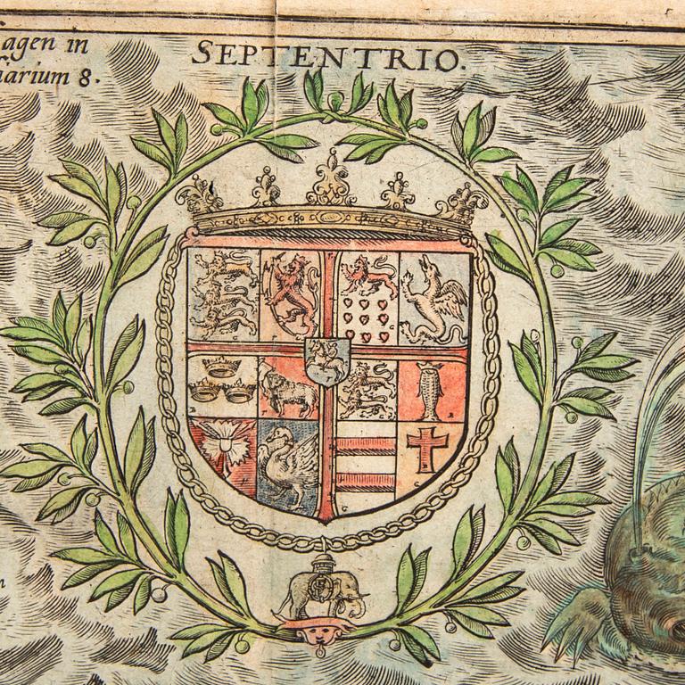
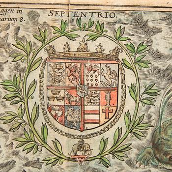
This map of Denmark by Marcus Jordan is the only actual map featured in Braun and Hogenberg's atlas Civitates Orbis Terrarum, first published 1588. Rantzau's coat of arms is surrounded by Athena and Ares on the cartouche at bottom right.
Wear due to age and use. Damaged edges. Stains. Time stained. Usual centerfold. Minor repairs on edges, reinforcements.
More information
The oldest printed map on Denmark.
Contact

Customer service
Please contact Customer Support for inquiries regarding transport, payment and other questions.
Sweden
Telephone hours: Monday – Friday 9 am – 12 pm
+46 8-614 08 00
Finland
Telephone hours: Monday – Friday 10 am – 1 pm
+358-9-668 91 10

Others have also viewed