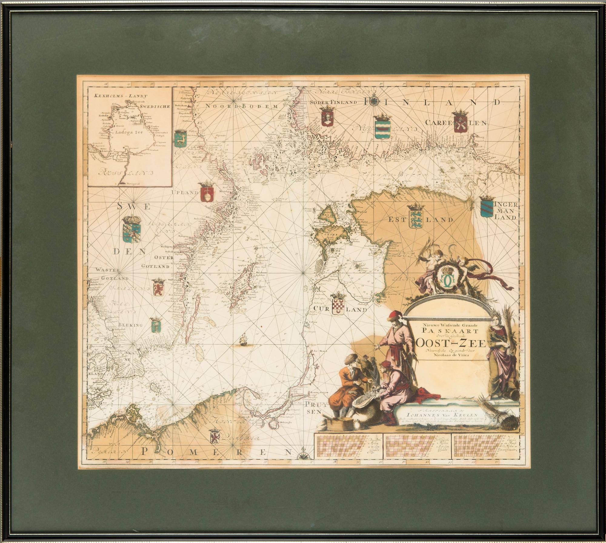
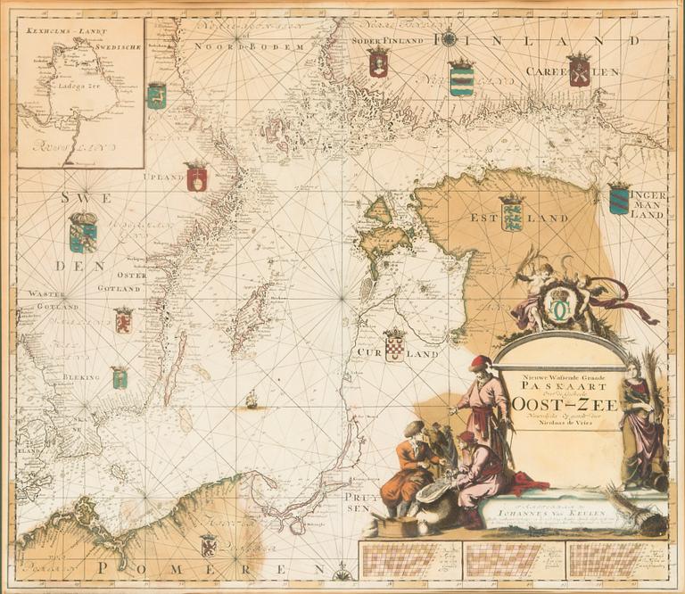
Johannes Van Keulen (1654-1715), map of the Baltic Sea, Amsterdam circa 1680 or later.
Auction ended
Hand-coloured engraved chart of the Baltic Sea and Gulf of Finland, inset map of Lake Ladoga. Large allegorical cartouche marked "Nieuwe Wafsende Graade Paskaart over de Geeheele Oost-Zee Neuwetycks Op gestelt door Nicolaas de Vries". Plate size 53x61 cm.
Wear due to age and use. Stains. Usual centerfold. Small tear in the upper edge. Soft handling creases. Not examined out of frame.