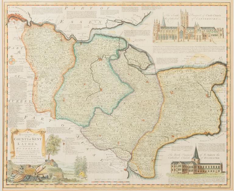
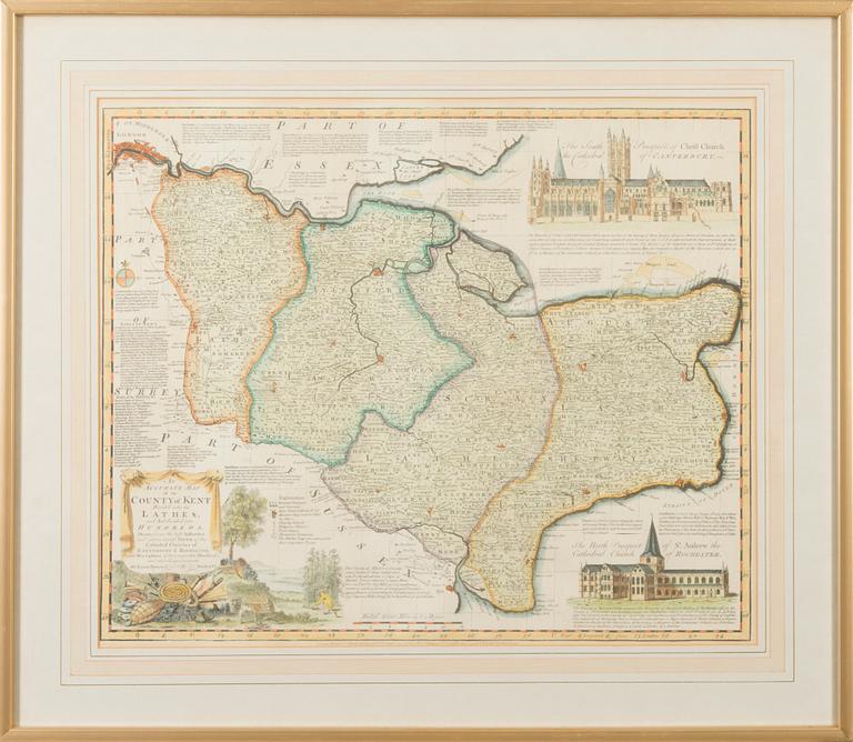
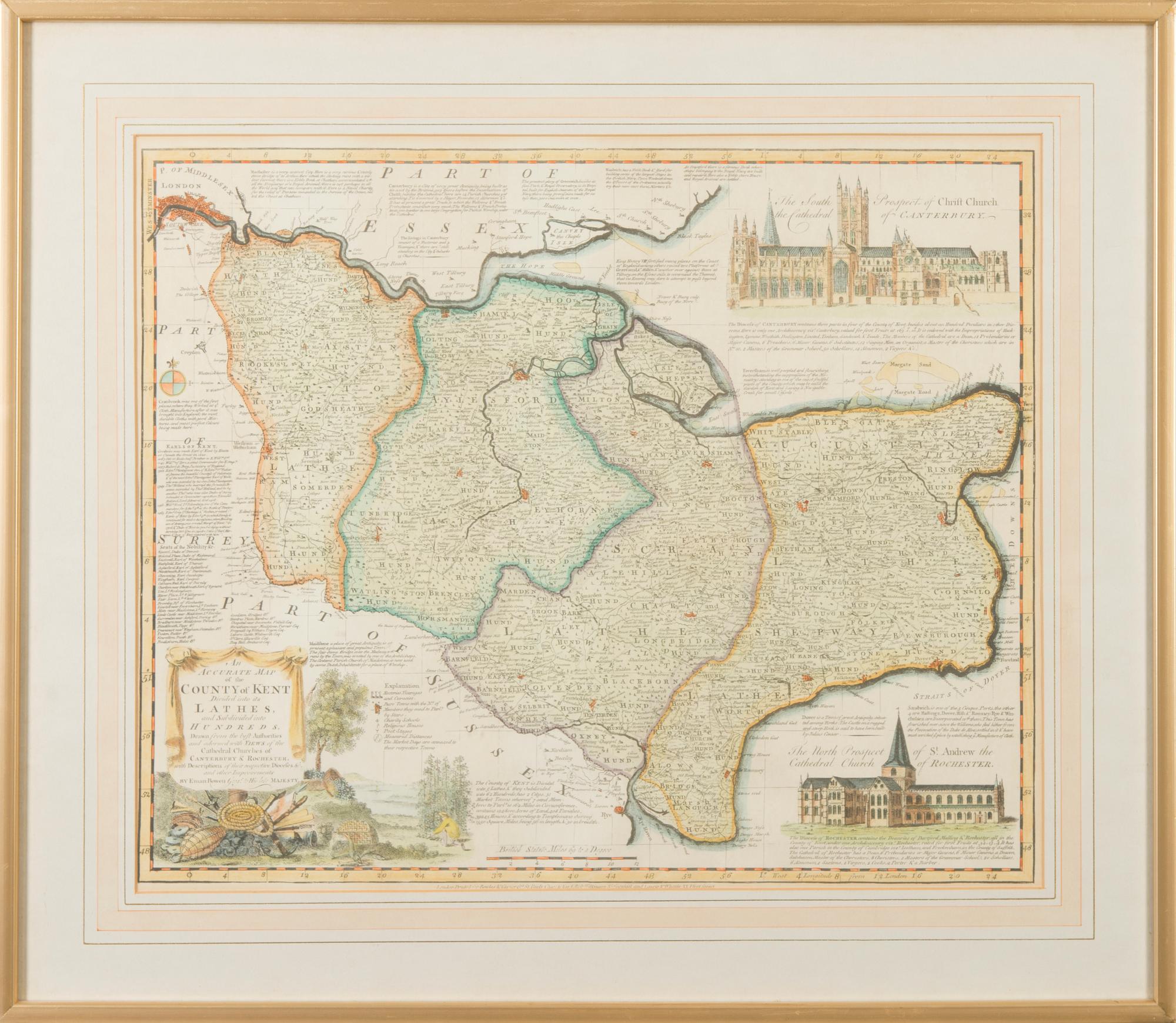
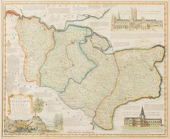
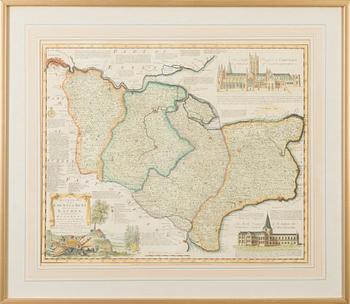
A MAP, "An accurate map of the county of Kent", England 18th century
Auction ended
Size, 40x49 cm.
Not examined out of frame.

Others have also viewed
1724161
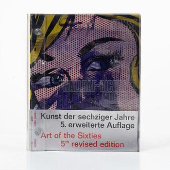
'Kunst der sechziger Jahre. 5. erweiterte Auflage. Art of the Sixties. 5th revised edition',
Cologne, 1971.
No bids
2d 14h
Estimate
3 000 SEK