


Five maps taken from books, 19th century.
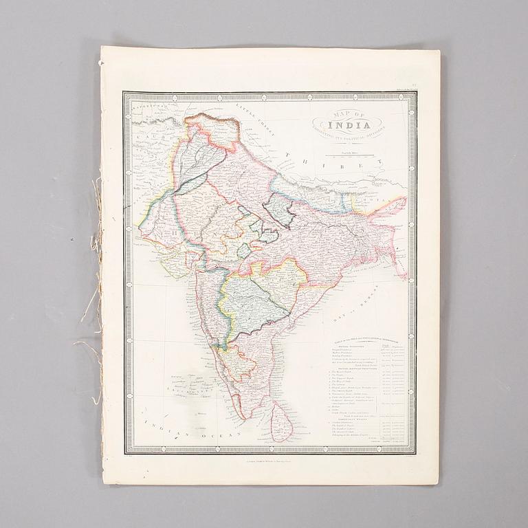
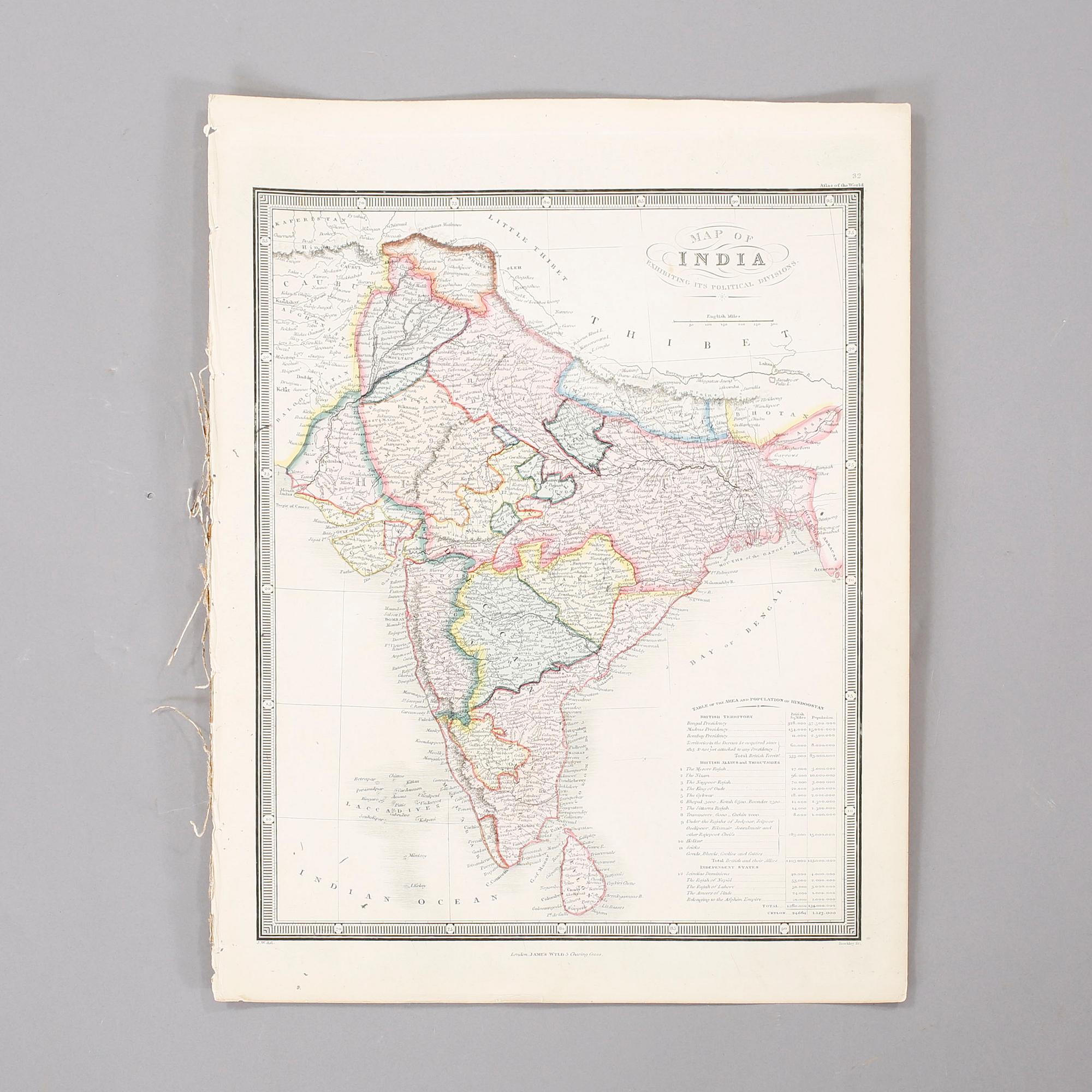
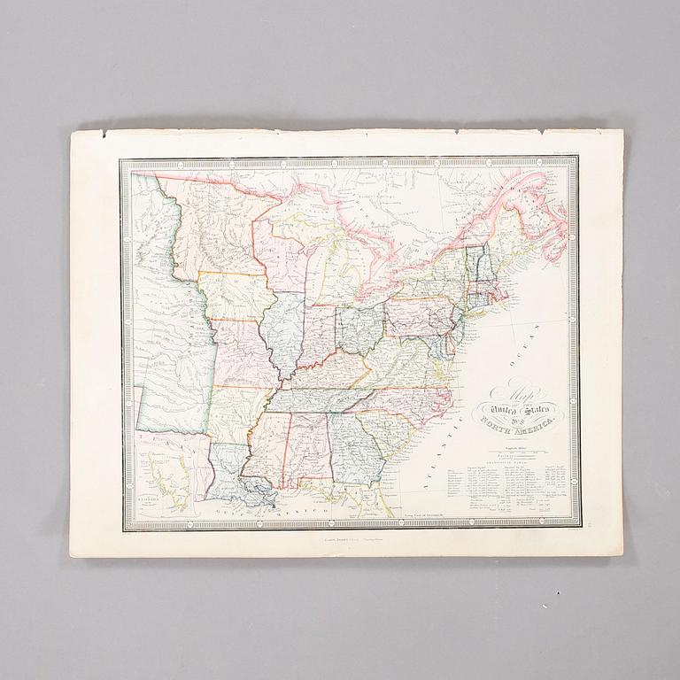
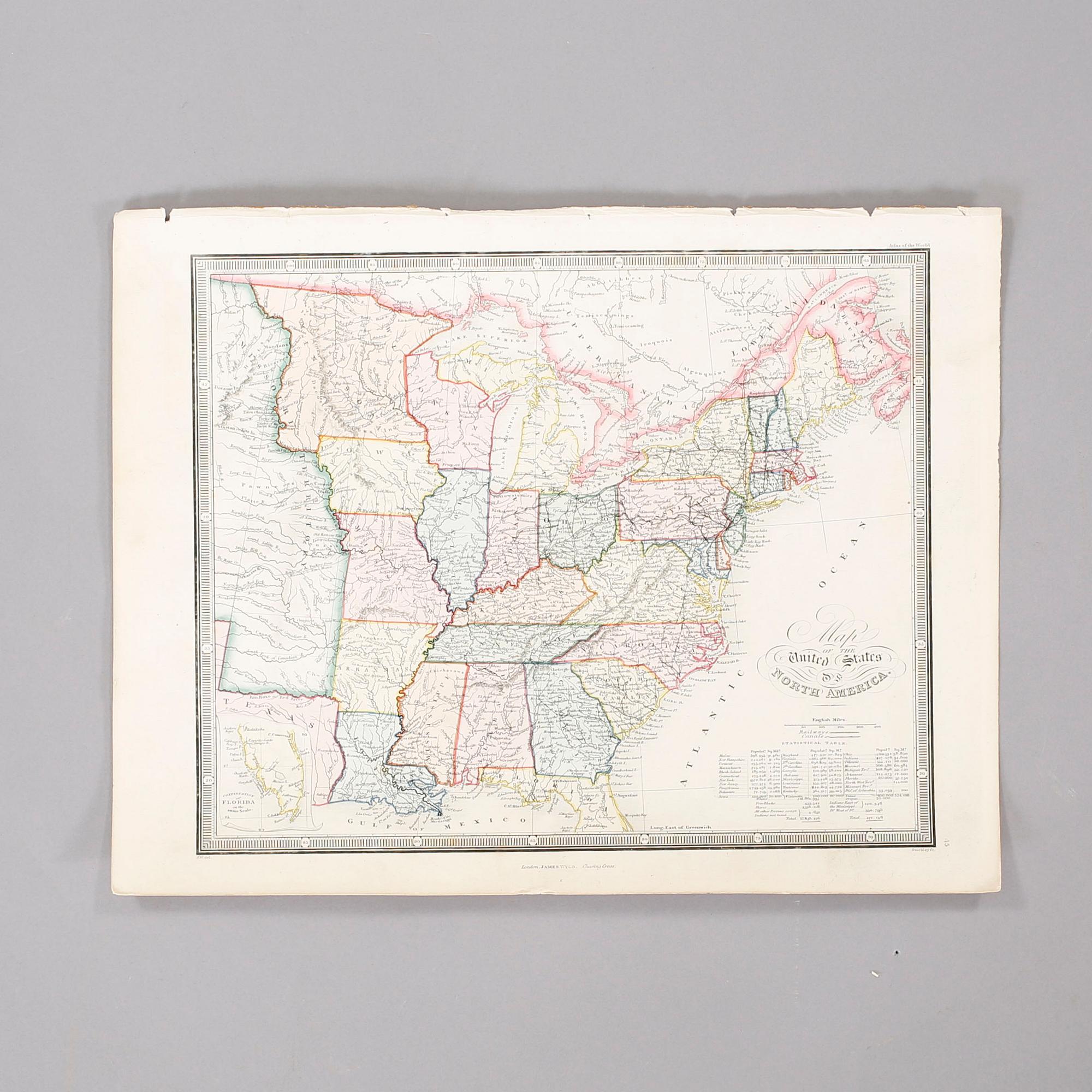
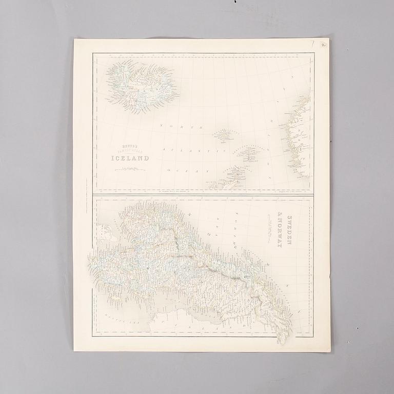
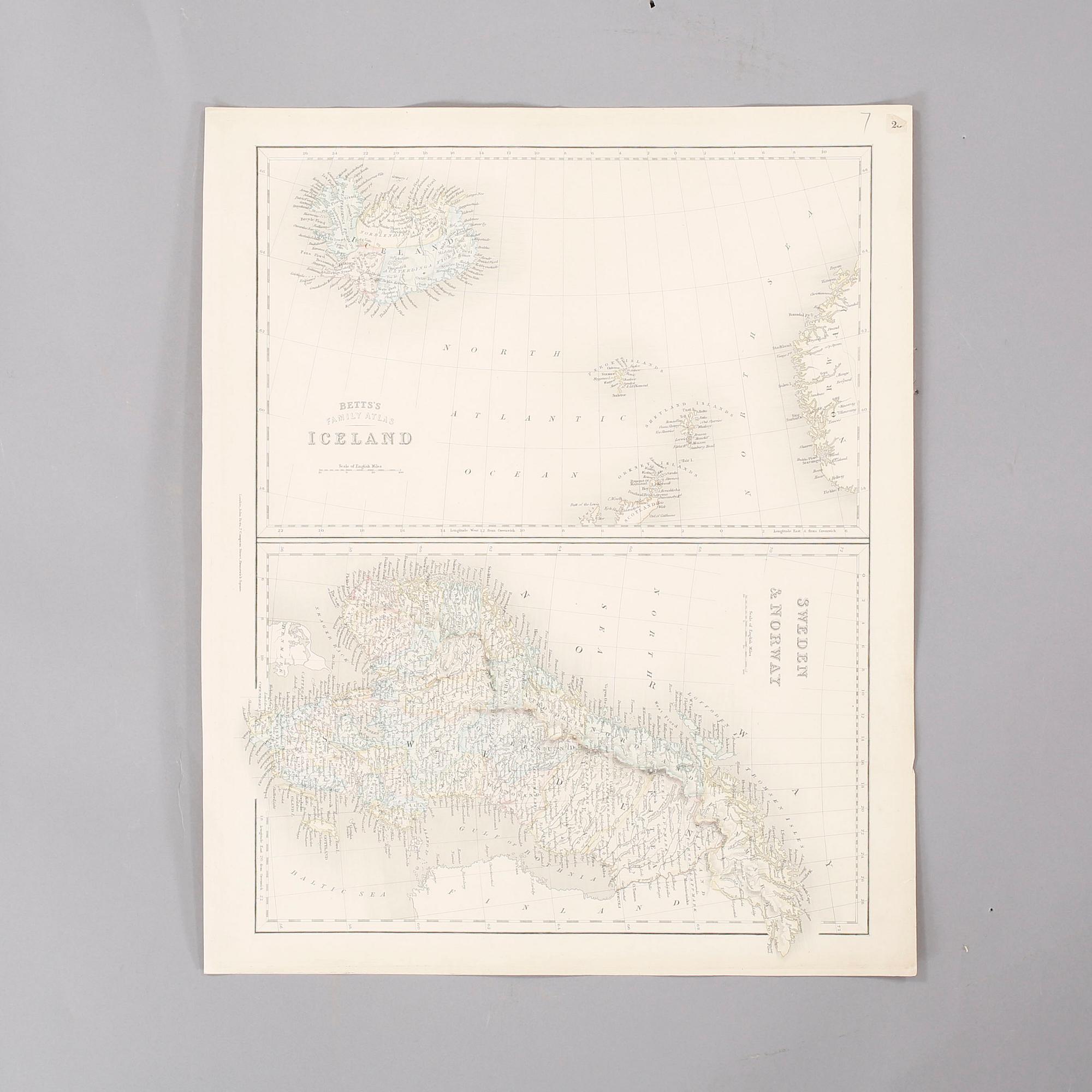
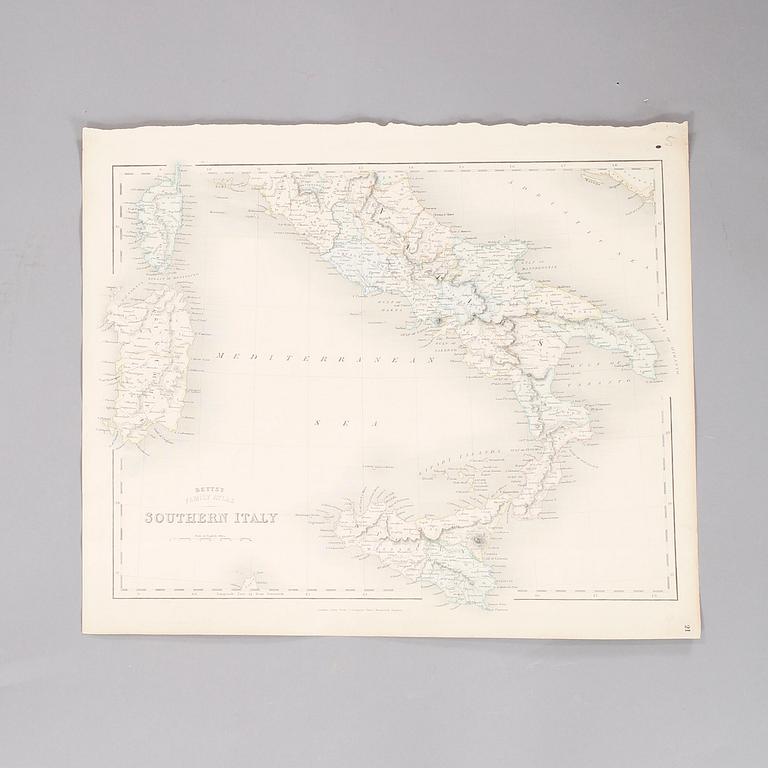

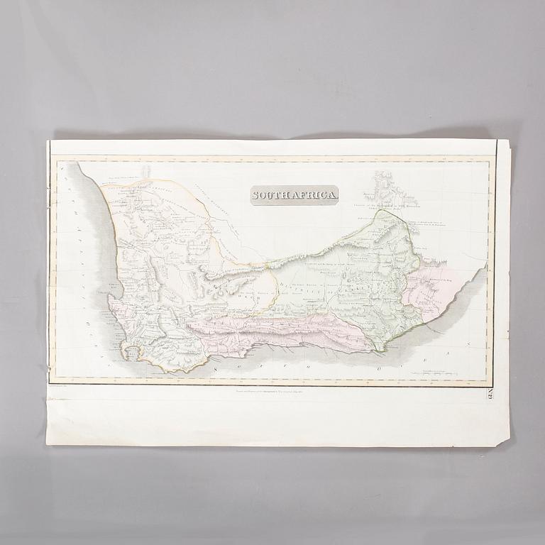
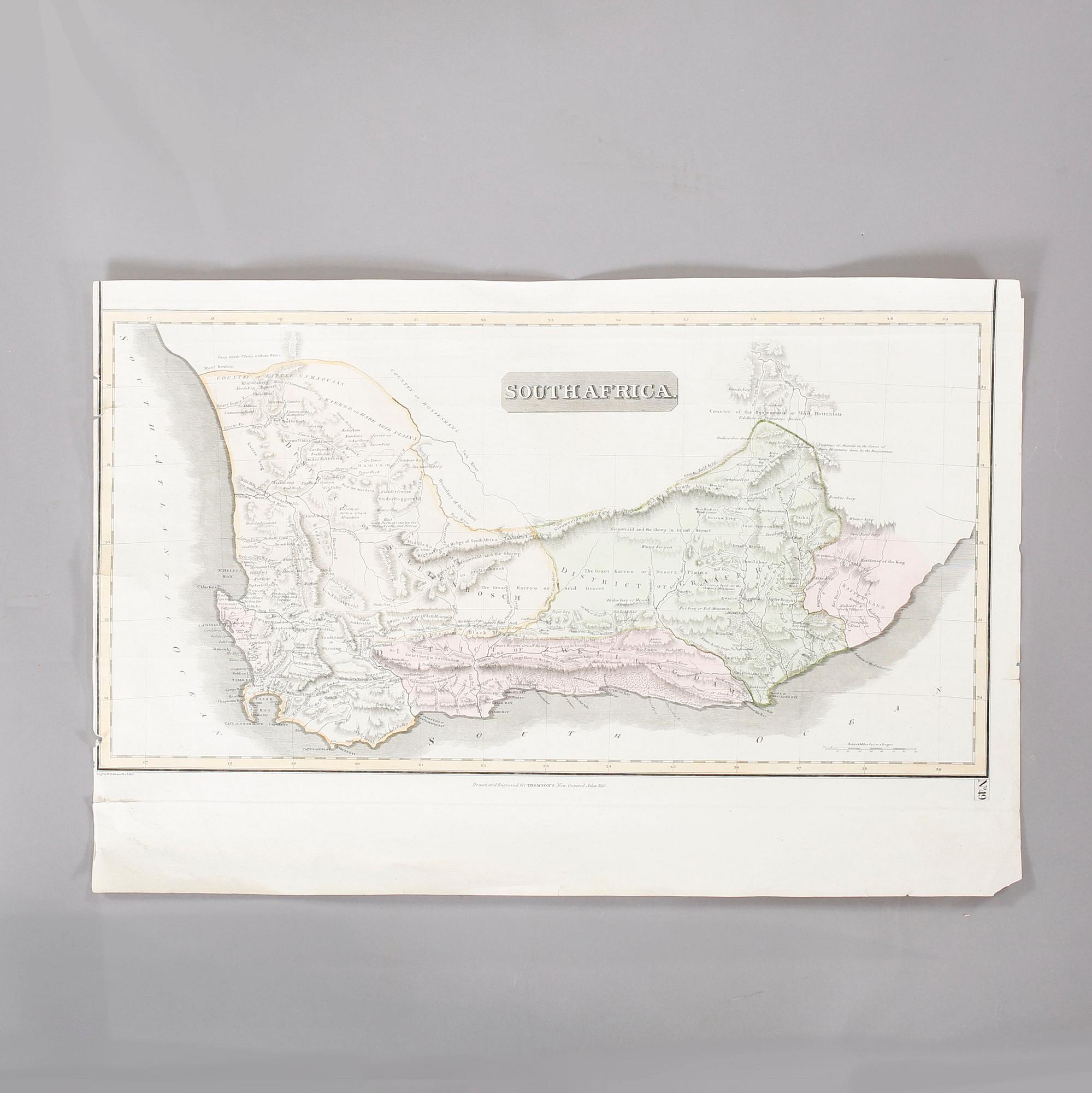
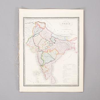
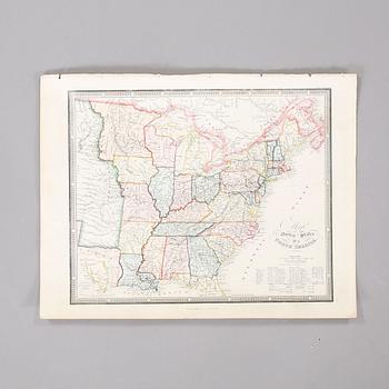
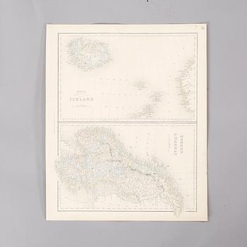
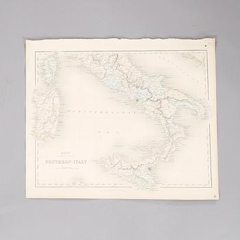
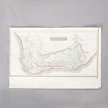
Five maps taken from books, 19th century.
"Iceland" incl "Sweden & Norway" and "Southern Italy" from Betts's Family Atlas. "India" and "United States, North America", from 'James Wyld's Atlas of the World'. "Southafrica" from 'Thomson's General Atlas'. S 33 x 25,5 cm to 35,5 x 53,5 cm.
Stains. Damaged edges. Yellowed. Single holes.
Others have also viewed
2d 16h
A umbrella stand, circa 1900.
No bids
Estimate 2 500 SEK
6d 14h
Edvin Ollers, a pair of candelabra, Stockholm 1915.
No bids
Estimate 4 000 SEK
4d 15h
A lantern, second half of the 20th century.
No bids
Estimate 4 000 SEK
1d 15h
Edvin Ollers, a cast iron umbrella stand, Näfveqvarn, circa 1900.
No bids
Estimate 8 000 SEK
2d 15h
West Persian semi-antique saddlebag 95x44 cm.
No bids
Estimate 2 500 SEK
4d 17h
Coat hanger, second half of the 20th century.
No bids
Estimate 2 500 SEK
1d 11h
Seals for the noble von Matérn family, three pieces, 19th - early 20th century.
No bids
Estimate 3 000 SEK
1d 16h
Globe from the second half of the 20th century.
Current bid 444 SEK
Estimate 2 500 SEK