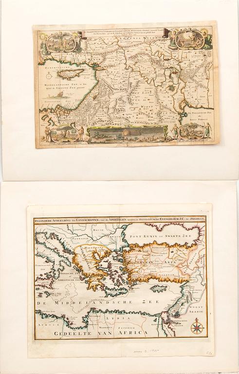
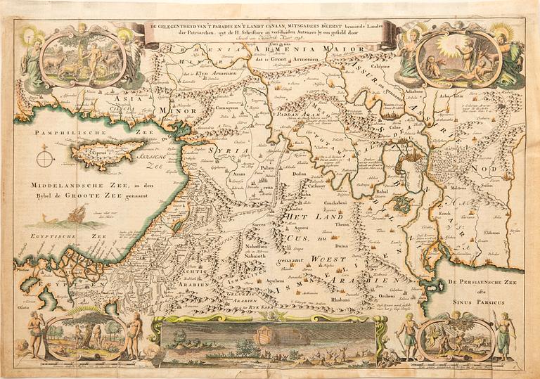
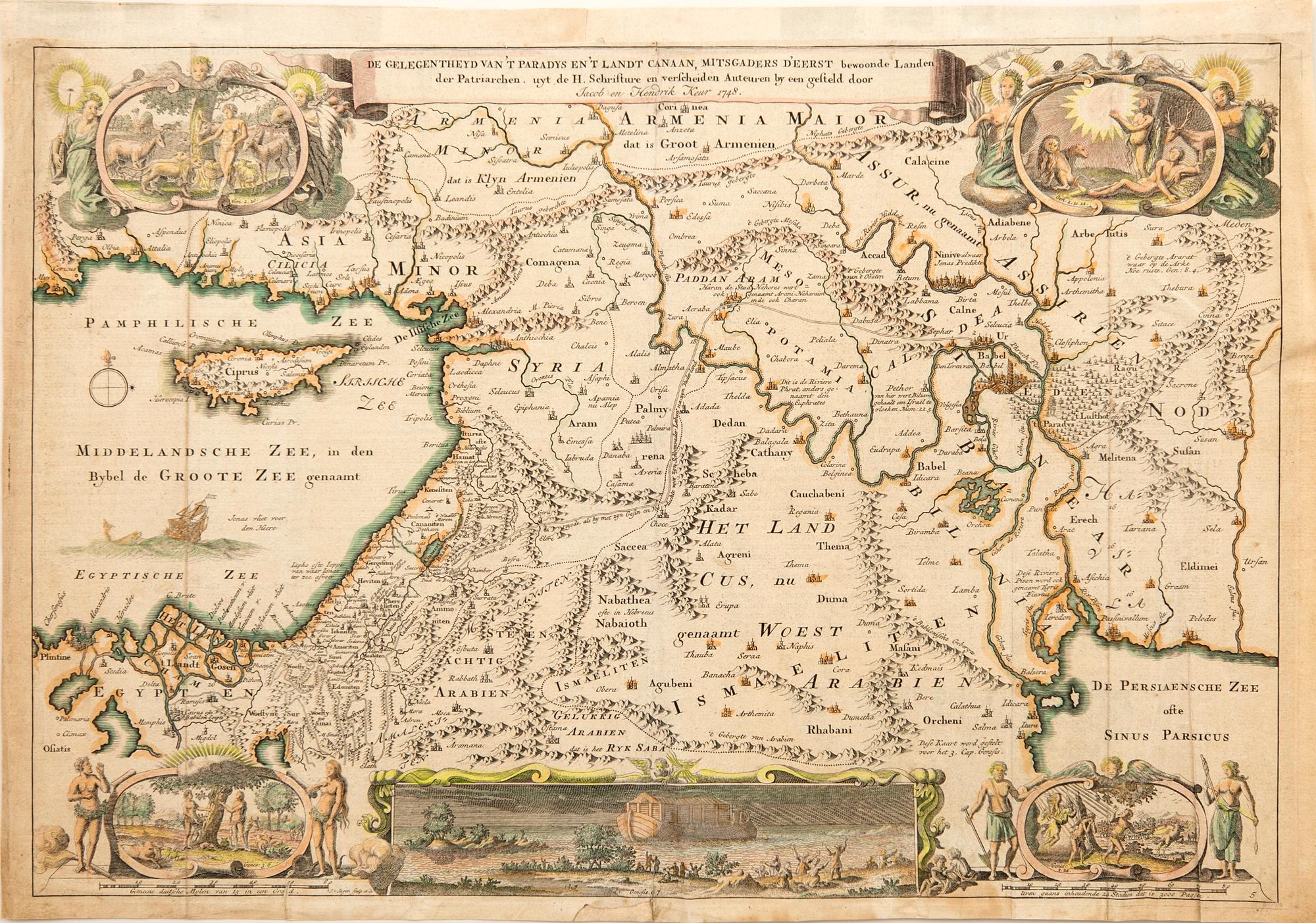
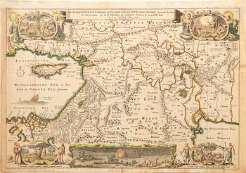
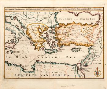
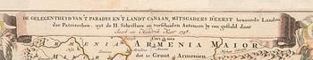
Maps of the Holy Land, 2 pcs, Augustin Calmet 1726 and Jacob & Hendrik Keur 1748, hand-colored engravings
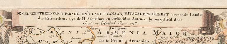
"Unique Depiction of the Landscapes, Sailed and Traversed by the Apostles to Preach the Gospel of Jesus Christ." Sheet 39.5 x 46.5 cm. Together with "The Situation of Paradise and the Land of Canaan, As Well As the First Inhabited Lands of the Patriarchs." Sheet 32 x 46.5 cm.
Age-related wear. Usual central fold. Crease with additional folds and stains, as well as a minor tear at the bottom edge, left.
Ota yhteyttä

Asiakaspalvelu
Olethan yhteydessä asiakaspalveluumme, mikäli sinulla on kysymyksiä liittyen kuljetukseen, maksuun tai muihin asioihin.
Ruotsi
Puhelin maanantai – perjantai klo 9–12
+46 8-614 08 00
Suomi
Puhelin maanantai - perjantai klo 10–13
+358-9-668 91 10
Tietoa ostamisesta


Muiden katsomia kohteita
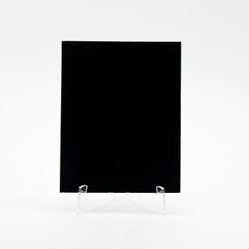
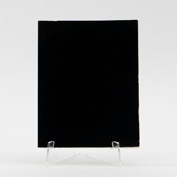
1705683
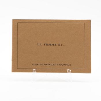
Annette Messager,
artist's book, signed, numbered 1975.
Ei tarjouksia
3p 22 h
Lähtöhinta
3 000 SEK
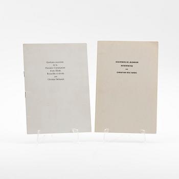
1705676
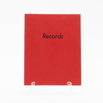
Christian Boltanski
2 artist books, one signed and one dated 1974.
Ei tarjouksia
2p 23 h
Lähtöhinta
3 000 SEK
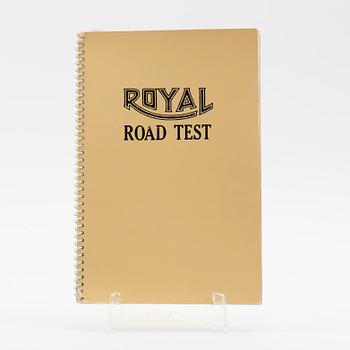
1705645
M Williams,
E Ruscha or Patrik Nlackwell, "Royal Road Test", 1971.
Ei tarjouksia
4p 19 h
Lähtöhinta
3 000 SEK
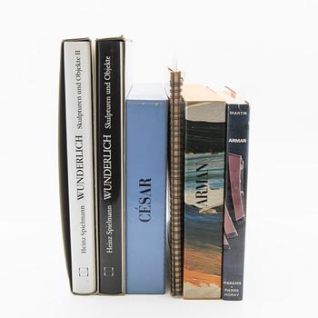
1698127
Art books 6 pcs; 3 x Arman,
2 x Wunderlich, 1 x Cesar (signed).
Tarjottu
1 000 SEK
37m
Lähtöhinta
3 000 SEK
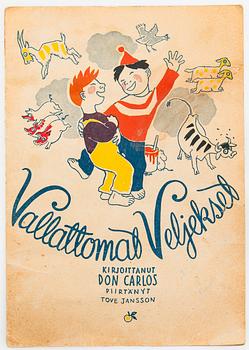
1704797
Tove Jansson
Don Carlos & Tove Jansson, vihko, "Vallattomat Veljekset".
Tarjottu
150 EUR
1p
Lähtöhinta
250 EUR