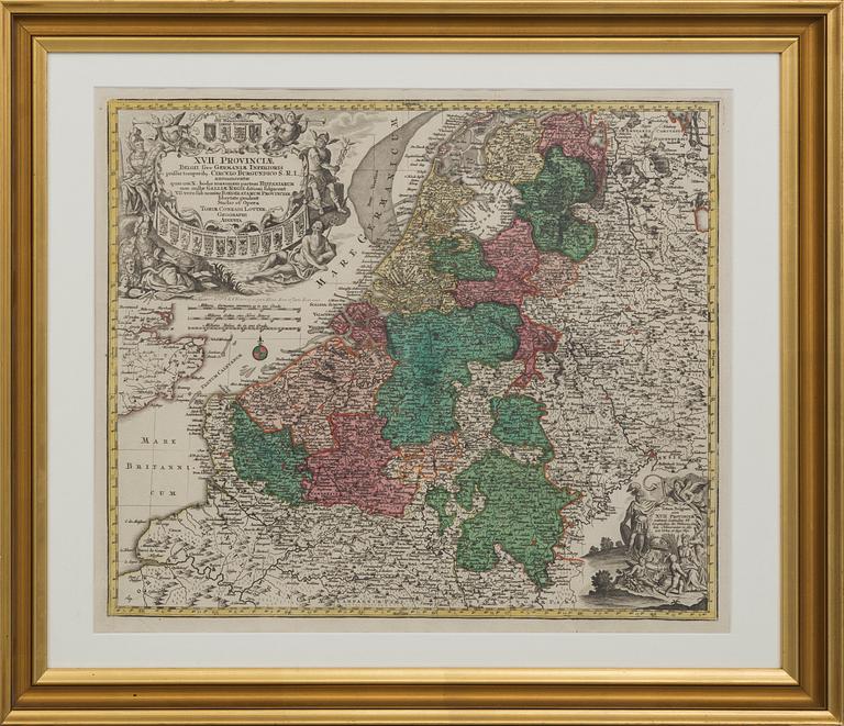
A MAP BY CONRADI LOTTER, middel of the 18th century.
A MAP BY CONRADI LOTTER, middel of the 18th century.
Map over Netherlands, Belgium and Luxembourg, 17 provinces. Partially colored. Images size 60x51 cm.
Not examined out of frame. Fold. Wear due to age and use.
Others have also viewed
3d
Six books, "Svenska Silversmeder" and "Tenngjutare i Sverige", Sweden, 1941-1967.
No bids
Estimate 3 000 SEK
2d 18h
Four volumes of "Die Gross Schmetterling der Erde" by Dr. Adalbert Seitz, Stuttgart, Germany, 1912-15.
No bids
Estimate 3 000 SEK
3d 23h
Bruno Mathsson & Piet Hein, coffee table, "Superellipse", Fritz Hansen, Denmark,
No bids
Estimate 3 000 SEK
5d 21h
Erik Dahlberg, 'Suecia Antiqua et Hodierna', two volumes, P. Ad. Huldbergs Bokhandel, Stockholm, 1856.
No bids
Estimate 2 500 SEK
1d 19h
15 volymer of "Slott och herresäten i Sverige", Allhems förlag, Malmö, Sweden, 1966-71.
No bids
Estimate 2 500 SEK
18h 36m
Book, "Twenty Years in Focus", Kos Productions, 2001.
No bids
Estimate 3 000 SEK
5d 21h
Henry Buergel Goodwin, books, 3 pcs, 1917-29.
No bids
Estimate 4 000 SEK
5d 23h
David Hockney, book, "A Rake´s Progress - A Poem in Five Sections".
Current bid 333 SEK
Estimate 10 000 SEK


