


EIGHTHS MAPS FROM STILERS ATLAS. CA 1860


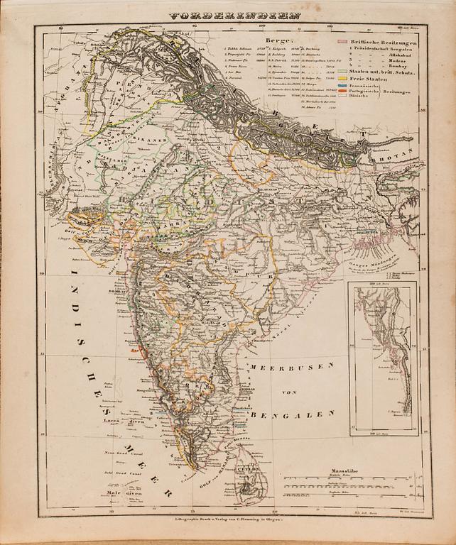

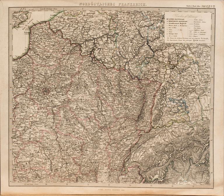


EIGHTHS MAPS FROM STILERS ATLAS. CA 1860
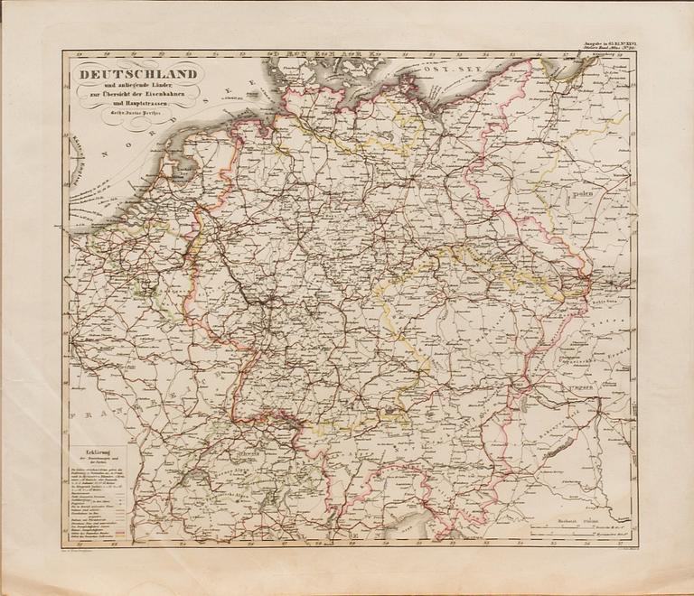
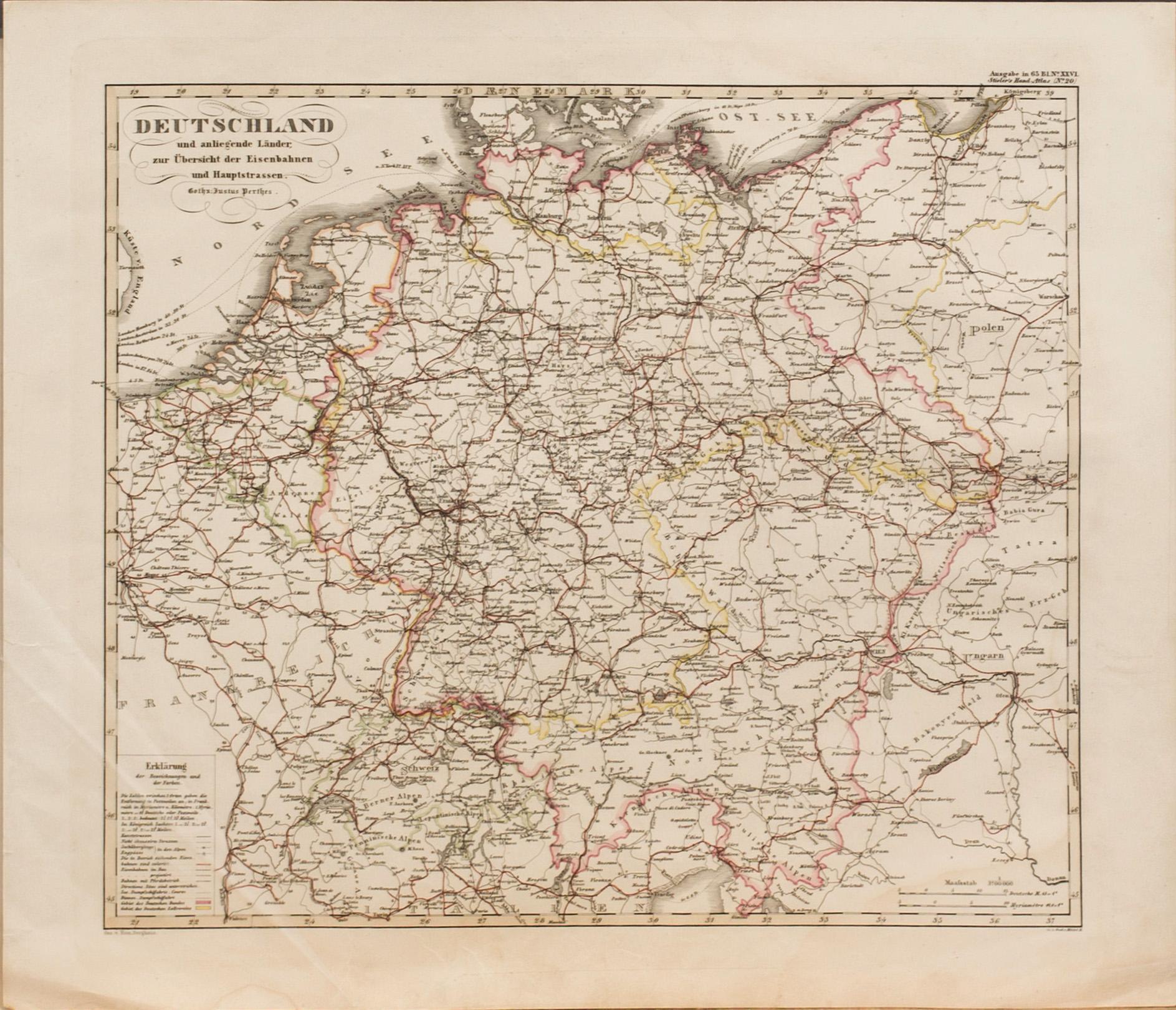
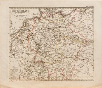
Deutschland,
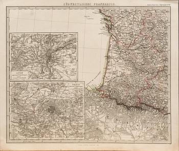
Südestliches
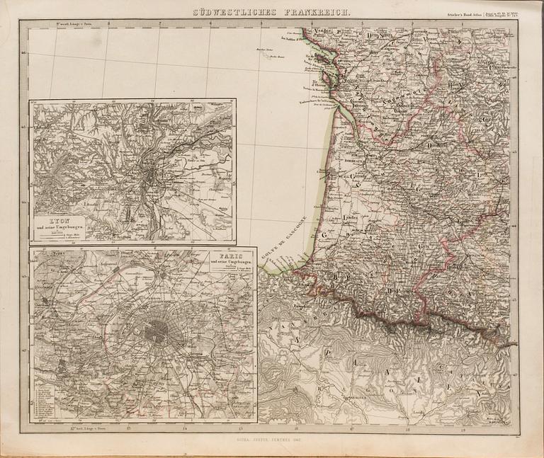
Frankreich,
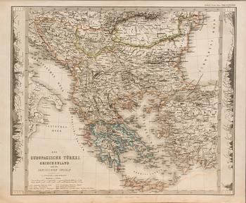
Die Europaeische Türkei, Griecenland.
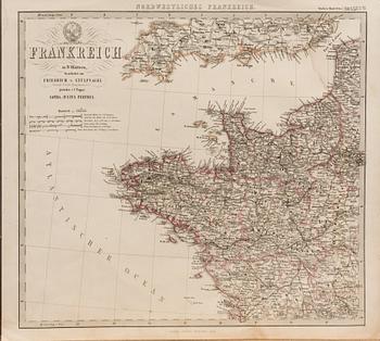
Frankreich,
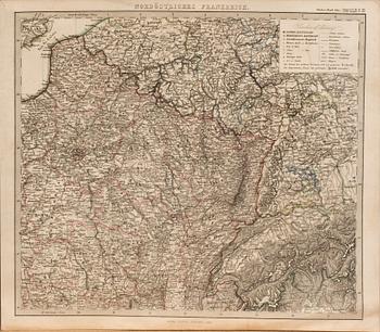
Nordöstliches Frankreich,
Vorderindien,
Süd-Amerika,
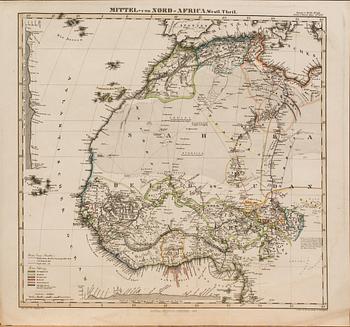
Mittel und Nord- Africa.
Ca 45x35 cm.
Minor wear. Minor stains.
Others have also viewed
8d 18h
Utagawa Kuniyoshi, Two woodblock prints from "Stories of the True Loyalty of the Faithful Samurai".
No bids
Estimate 2 500 SEK
4d 19h
Yrjö Edelmann, "Wrapped Christmas Goat".
No bids
Estimate 2 500 SEK
2d 18h
Arne Jones, Untitled.
No bids
Estimate 1 800 SEK
8d 17h
Katsushika Hokusai, after, Fumonbon kikusui yoroi, (Universal Gate Chapter, Armor with Chrysanthemum-stream Motif).
No bids
Estimate 3 000 SEK
5d 17h
John Young, Sultan Selim Khan I.
No bids
Estimate 8 000 SEK
8d 18h
Utagawa Kunisada and Toyohara Kunichika, woodblock print from the series 'Seichū gishi den'.
No bids
Estimate 200 EUR
2d 17h
Karl Axel Pehrson, "Alternus IX".
No bids
Estimate 2 500 SEK
2d 14h
Päivi Lempinen, Tent.
No bids
Estimate 200 EUR