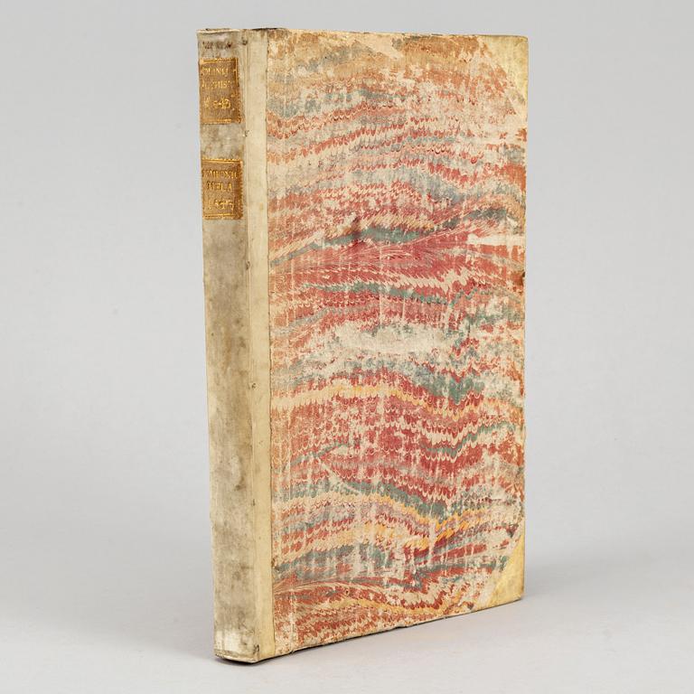
Polyhistor, 1543, with woodcut maps including the first complete map of Asia
Caius Julius Solinus & Pomponius Mela / Sebastian Münster (ed.):
Polyhistor, rerum toto orbe memorabilium thesaurus locupletissimus. [And:] De situ orbis libros tres.
Basileae, apud Mich. Isingrinium, 1543. Folio. (33 x 20,5 cms.) [20] + 230 pp. (lacking final leaf, blank save for woodcut printer’s device) + 2 folding woodcut maps of Asia, NB: the second map with loss to upper corner, including a triangular area 6,5 by 2 cms of the image, i. e. most of the ”Terra incognita” (America) for which the map is known. Printer's woodcut device on title-page. 4 full-page maps and 14 vignette maps in the text.
18th-century (?) half vellum, gilt labels to spine, marbled sides, red edges. Somewhat worn. Traces of an inscription (cropped by binder) on p. 1, leaf q2 with short marginal tear.
Second edition thus. First published with Münster's commentary in 1538, Solinus's Polyhistor is a collection of geographical accounts. Renowned for the inclusion of a woodcut map bearing the earliest representation of the northwest coast of America as "Terra incognita", unfortunately mostly lost in the present copy due to corner loss.
.


