


Map, Chart of the North and Baltic Seas, John Thomson, 1816. Edinburgh.

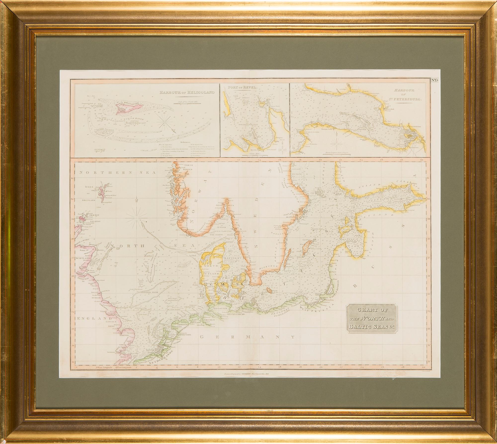
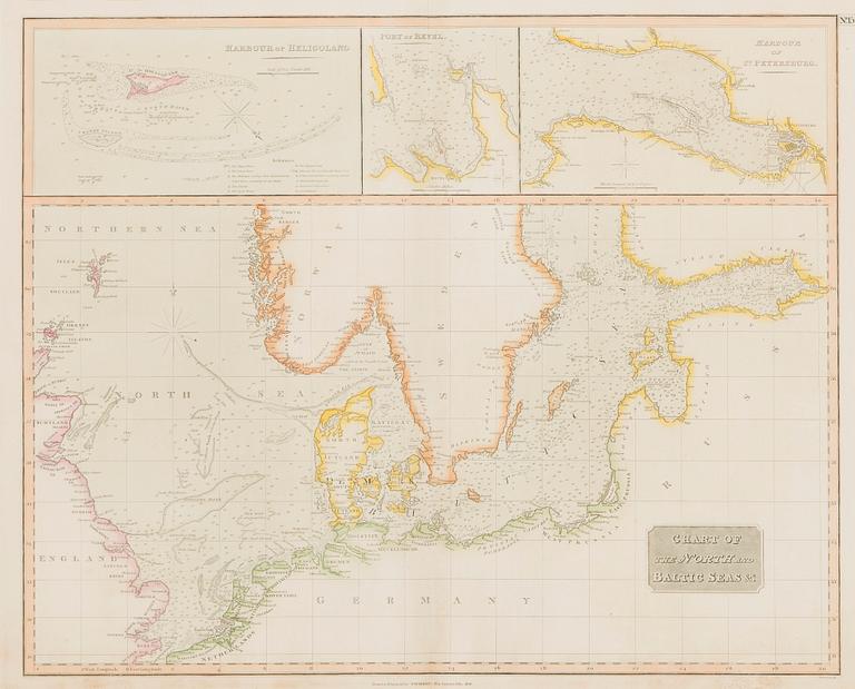
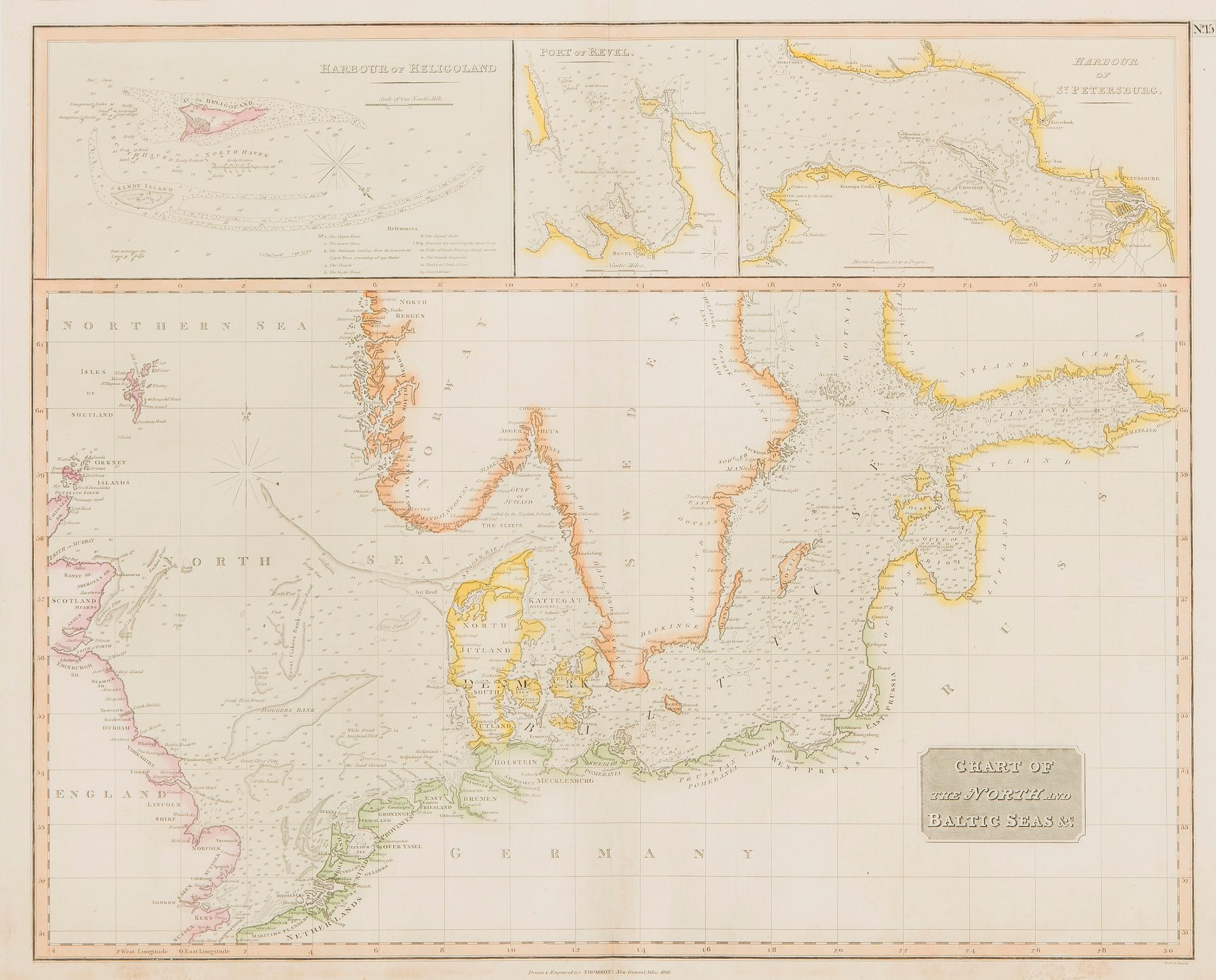
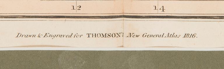
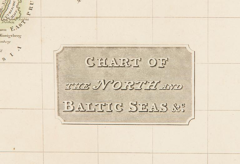
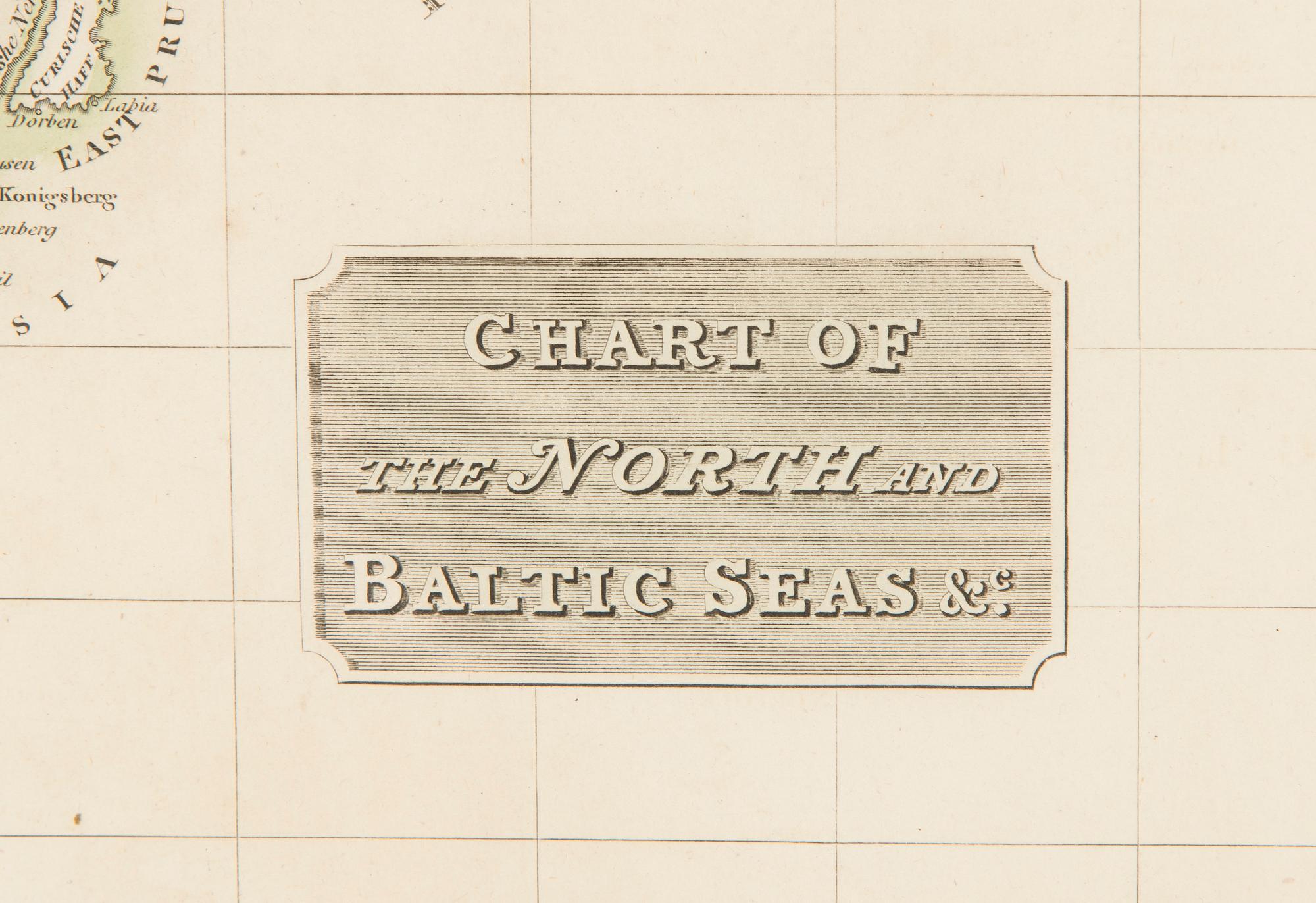


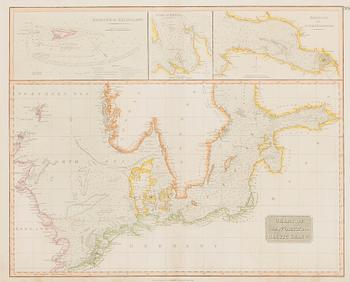
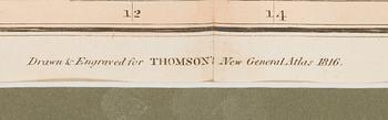
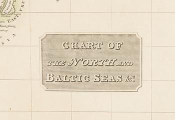
Map, Chart of the North and Baltic Seas, John Thomson, 1816. Edinburgh.
Hand-colored. Image size 60.5x48.5 cm.
Age-related wear and tear. Not examined out of frame. Usual centre fold.
More information
John Thomson (1777 - 1841) was a Scottish cartographer, publisher, and bookbinder active in Edinburgh during the early part of the 19th century.
Others have also viewed
1d 18h
Kimmo Pyykkö, "Ristiside".
No bids
Estimate 300 EUR
6d 13h
An Empire silk embrodery, early 19th Century.
No bids
Estimate 2 500 SEK
6d 12h
Art books 6 pcs; 3 x Arman, 2 x Wunderlich, 1 x Cesar (signed).
No bids
Estimate 3 000 SEK
17h 1m
Wall panels, 3 pcs, 20th century, Motif from Hagaparken.
No bids
Estimate 3 000 SEK
2d 19h
Wall reliefs, 1 pair, turn of the 19th/20th century.
No bids
Estimate 3 000 SEK
6d 17h
Väinö Kamppuri, City view.
Current bid 400 EUR
Estimate 600 EUR
5d 13h
Emil Korsmo, 31 lithographic weed plates.
Current bid 2 500 SEK
Estimate 5 000 SEK
5d 17h
Aarno Salosmaa, Composition in metal on wood.
Current bid 150 EUR
Estimate 250 EUR